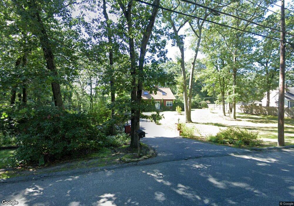
349 Cedar St Ashland, MA 01721
Estimated Value: $677,399 - $814,000
2
Beds
2
Baths
1,663
Sq Ft
$452/Sq Ft
Est. Value
About This Home
This home is located at 349 Cedar St, Ashland, MA 01721 and is currently estimated at $751,100, approximately $451 per square foot. 349 Cedar St is a home located in Middlesex County with nearby schools including William Pittaway Elementary School, Henry E. Warren Elementary School, and David Mindess Elementary School.
Ownership History
Date
Name
Owned For
Owner Type
Purchase Details
Closed on
Jun 25, 2009
Sold by
Shaw Christopher and Piszcz Stacy
Bought by
Seater Robert M and Seater Jessica
Current Estimated Value
Home Financials for this Owner
Home Financials are based on the most recent Mortgage that was taken out on this home.
Original Mortgage
$270,000
Outstanding Balance
$172,694
Interest Rate
4.92%
Mortgage Type
Purchase Money Mortgage
Estimated Equity
$578,407
Purchase Details
Closed on
Jul 17, 2003
Sold by
Cafarelli Joan and Cafarelli Richard
Bought by
Shaw Christopher and Piszcz Stacy
Home Financials for this Owner
Home Financials are based on the most recent Mortgage that was taken out on this home.
Original Mortgage
$314,925
Interest Rate
5.34%
Mortgage Type
Purchase Money Mortgage
Create a Home Valuation Report for This Property
The Home Valuation Report is an in-depth analysis detailing your home's value as well as a comparison with similar homes in the area
Home Values in the Area
Average Home Value in this Area
Purchase History
| Date | Buyer | Sale Price | Title Company |
|---|---|---|---|
| Seater Robert M | $337,500 | -- | |
| Shaw Christopher | $331,500 | -- |
Source: Public Records
Mortgage History
| Date | Status | Borrower | Loan Amount |
|---|---|---|---|
| Open | Seater Robert M | $270,000 | |
| Previous Owner | Shaw Christopher | $314,925 |
Source: Public Records
Tax History
| Year | Tax Paid | Tax Assessment Tax Assessment Total Assessment is a certain percentage of the fair market value that is determined by local assessors to be the total taxable value of land and additions on the property. | Land | Improvement |
|---|---|---|---|---|
| 2025 | $8,180 | $640,600 | $238,200 | $402,400 |
| 2024 | $8,008 | $604,800 | $238,200 | $366,600 |
| 2023 | $7,334 | $532,600 | $226,800 | $305,800 |
| 2022 | $7,441 | $468,600 | $206,100 | $262,500 |
| 2021 | $6,837 | $429,200 | $206,100 | $223,100 |
| 2020 | $6,618 | $409,500 | $206,100 | $203,400 |
| 2019 | $6,390 | $392,500 | $206,100 | $186,400 |
| 2018 | $6,287 | $378,500 | $204,000 | $174,500 |
| 2017 | $6,142 | $367,800 | $200,100 | $167,700 |
| 2016 | $5,913 | $347,800 | $195,000 | $152,800 |
| 2015 | $5,716 | $330,400 | $182,100 | $148,300 |
| 2014 | $5,723 | $329,100 | $162,600 | $166,500 |
Source: Public Records
Map
Nearby Homes
- 207 Eliot St
- 19 Orchard Ln
- 157 Leland Farm Rd
- 29 Carriage House Path
- 57 Carriage House Path
- 152 Turner Rd Unit 3
- 107 Arrowhead Cir
- 262 Captain Eames Cir
- 73 Half Crown Cir
- 44 Temi Rd
- 131 America Blvd Unit 131
- 291 America Blvd Unit 291
- 7 Adams Ln Unit 7
- 9 Adams Ln Unit 9
- 439 America Blvd Unit 439
- 431 America Blvd Unit 431
- 8 Pheasant Hill Rd
- 62 Voyagers Ln
- 10 Metropolitan Ave
- 16 Central St
Your Personal Tour Guide
Ask me questions while you tour the home.