349 Colonial Dr Mansfield, OH 44903
Estimated Value: $366,000 - $415,000
About This Home
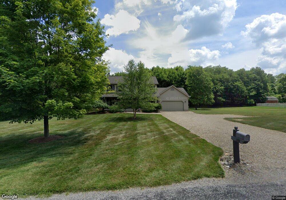
This home is located at 349 Colonial Dr, Mansfield, OH 44903 and is currently estimated at $391,780, approximately $209 per square foot. 349 Colonial Dr is a home located in Richland County with nearby schools including Madison High School, St. Mary Catholic School, and Temple-Christian School.
Ownership History
We collect this data history from publicly available records. To have your information removed, we recommend requesting removal directly through your county’s website.
Purchase Details
Purchase Details
Home Values in the Area
Average Home Value in this Area
Purchase History
We collect this data history from publicly available records. To have your information removed, we recommend requesting removal directly through your county’s website.
| Date | Buyer | Sale Price | Title Company |
|---|---|---|---|
| $212,000 | -- | ||
| -- | -- |
Tax History
We collect this data history from publicly available records. To have your information removed, we recommend requesting removal directly through your county’s website.
| Year | Tax Paid | Tax Assessment Tax Assessment Total Assessment is a certain percentage of the fair market value that is determined by local assessors to be the total taxable value of land and additions on the property. | Land | Improvement |
|---|---|---|---|---|
| 2025 | $5,288 | $102,530 | $24,850 | $77,680 |
| 2024 | $5,288 | $102,530 | $24,850 | $77,680 |
| 2023 | $5,288 | $102,530 | $24,850 | $77,680 |
| 2022 | $4,247 | $75,570 | $19,740 | $55,830 |
| 2021 | $4,246 | $75,570 | $19,740 | $55,830 |
| 2020 | $4,279 | $75,570 | $19,740 | $55,830 |
| 2019 | $3,888 | $64,040 | $16,730 | $47,310 |
| 2018 | $3,857 | $64,040 | $16,730 | $47,310 |
| 2017 | $3,842 | $64,040 | $16,730 | $47,310 |
| 2016 | $3,899 | $64,410 | $14,770 | $49,640 |
| 2015 | $3,836 | $64,410 | $14,770 | $49,640 |
| 2014 | $3,821 | $64,410 | $14,770 | $49,640 |
| 2012 | $1,806 | $66,410 | $15,230 | $51,180 |
Map
- 2565 Peterson Rd
- 2926 State Route 430
- 2511 Bryonaire Dr
- 2447 Bryonaire Dr
- 609 Mcbride Rd
- 2383 Wedgewood Dr
- 2295 Satinwood Dr
- 620 Running Brook Way
- 511 W Shore Dr
- 945 Pike Dr
- 603 Laver Rd
- 1053 Reed Rd
- 968 Pike Dr
- 0 Mount Zion Rd Unit 226009674
- 0 Mount Zion Rd Unit 9072801
- 3491 Shad Dr E
- 2264 Crider Rd
- 0 Mcelroy Rd
- 243 Ford Rd S
- 1317 Wigton Rd
- 2795 Peterson Rd
- 323 Colonial Dr
- 346 Colonial Dr
- 2751 Peterson Rd
- 324 Colonial Dr
- 300 Colonial Dr
- 2817 Peterson Rd
- 2817 Peterson Rd
- 2735 Peterson Rd
- 2770 Peterson Rd
- 2758 Peterson Rd
- 271 Colonial Dr
- 2772 Cherokee Dr
- 2772 Cherokee Ave
- 2744 Peterson Rd
- 2715 Peterson Rd
- 2845 Peterson Rd
- 2832 Peterson Rd
- 2730 Peterson Rd
- 2718 Peterson Rd
Ask me questions while you tour the home.