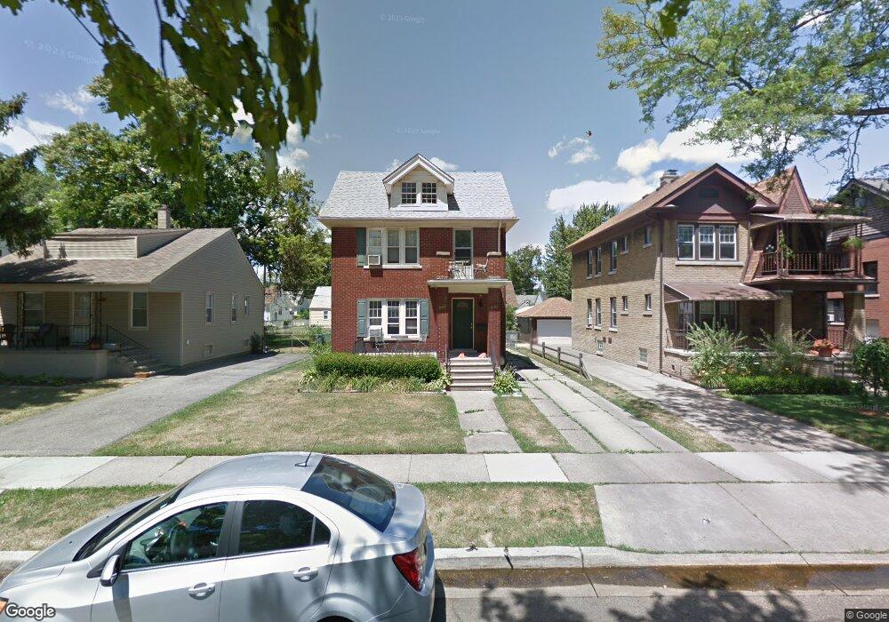
349 E Maplehurst St Ferndale, MI 48220
Estimated Value: $367,000 - $402,000
4
Beds
2
Baths
1,780
Sq Ft
$216/Sq Ft
Est. Value
About This Home
This home is located at 349 E Maplehurst St, Ferndale, MI 48220 and is currently estimated at $384,066, approximately $215 per square foot. 349 E Maplehurst St is a home located in Oakland County with nearby schools including Ferndale Lower Elementary Campus, Ferndale Upper Elementary Campus, and Ferndale Middle School.
Ownership History
Date
Name
Owned For
Owner Type
Purchase Details
Closed on
Aug 24, 2018
Sold by
Crist Michael D
Bought by
Salliotte Jacqueline
Current Estimated Value
Home Financials for this Owner
Home Financials are based on the most recent Mortgage that was taken out on this home.
Original Mortgage
$252,700
Outstanding Balance
$218,082
Interest Rate
4.5%
Mortgage Type
New Conventional
Estimated Equity
$165,984
Purchase Details
Closed on
Jan 26, 2000
Sold by
Kunnath Glenn P
Bought by
Crist Michael D
Home Financials for this Owner
Home Financials are based on the most recent Mortgage that was taken out on this home.
Original Mortgage
$148,000
Interest Rate
8.24%
Create a Home Valuation Report for This Property
The Home Valuation Report is an in-depth analysis detailing your home's value as well as a comparison with similar homes in the area
Home Values in the Area
Average Home Value in this Area
Purchase History
| Date | Buyer | Sale Price | Title Company |
|---|---|---|---|
| Salliotte Jacqueline | $266,000 | First American Title Insuran | |
| Crist Michael D | $165,000 | -- |
Source: Public Records
Mortgage History
| Date | Status | Borrower | Loan Amount |
|---|---|---|---|
| Open | Salliotte Jacqueline | $252,700 | |
| Previous Owner | Crist Michael D | $148,000 |
Source: Public Records
Tax History
| Year | Tax Paid | Tax Assessment Tax Assessment Total Assessment is a certain percentage of the fair market value that is determined by local assessors to be the total taxable value of land and additions on the property. | Land | Improvement |
|---|---|---|---|---|
| 2025 | $8,766 | $177,050 | $0 | $0 |
| 2024 | $8,466 | $169,880 | $0 | $0 |
| 2023 | $8,202 | $158,210 | $0 | $0 |
| 2022 | $8,185 | $144,330 | $0 | $0 |
| 2021 | $8,190 | $137,020 | $0 | $0 |
| 2020 | $7,802 | $133,980 | $0 | $0 |
| 2019 | $7,890 | $120,590 | $0 | $0 |
Source: Public Records
Map
Nearby Homes
- 525 E Lewiston Ave
- 502 E Lewiston Ave
- 535 E Lewiston Ave
- 449 E Oakridge St
- 187 Vester St
- 490 E Cambourne St
- 350 Vester St
- 2840 Horton St
- 88 Wellesley Dr
- 49 Amherst Rd
- 3116 Horton St
- 2808 Goodrich St
- 571 W Saratoga St
- 1032 E Breckenridge St
- 629 W Lewiston Ave
- 1489 Woodward Heights
- 3291 Minerva St
- 541 Albany St
- 705 W Breckenridge St
- 726 W Breckenridge St
- 339 E Maplehurst St
- 355 E Maplehurst St
- 333 E Maplehurst St
- 367 E Maplehurst St
- 325 E Maplehurst St
- 371 E Maplehurst St
- 371 E Maplehurst St
- 348 E Woodland St
- 330 E Woodland St Unit Bldg-Unit
- 330 E Woodland St
- 356 E Woodland St
- 364 E Woodland St
- 340 E Maplehurst St
- 340 E Maplehurst St
- 317 E Maplehurst St
- 340 E Woodland St
- 338 DEWEY ST. E Woodland St
- 364 E Maplehurst St
- 348 E Maplehurst St
- 358 E Maplehurst St
Your Personal Tour Guide
Ask me questions while you tour the home.