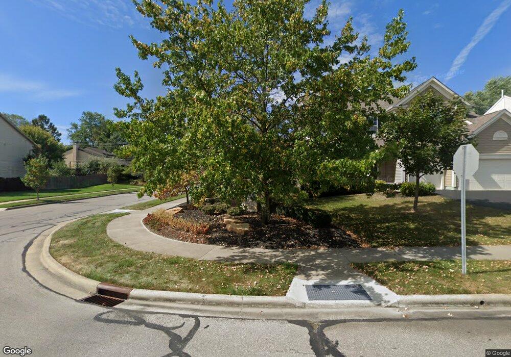
349 Mill Wind Ct S Westerville, OH 43082
Estimated Value: $457,369 - $489,000
About This Home
This home is located at 349 Mill Wind Ct S, Westerville, OH 43082 and is currently estimated at $471,342, approximately $256 per square foot. 349 Mill Wind Ct S is a home located in Delaware County with nearby schools including Robert Frost Elementary School, Heritage Middle School, and Westerville-North High School.
Ownership History
We collect this data history from publicly available records. To have your information removed, we recommend requesting removal directly through your county’s website.
Purchase Details
Home Financials for this Owner
Home Financials are based on the most recent Mortgage that was taken out on this home.Purchase Details
Home Values in the Area
Average Home Value in this Area
Purchase History
We collect this data history from publicly available records. To have your information removed, we recommend requesting removal directly through your county’s website.
| Date | Buyer | Sale Price | Title Company |
|---|---|---|---|
| $205,000 | -- | ||
| $45,900 | -- |
Mortgage History
We collect this data history from publicly available records. To have your information removed, we recommend requesting removal directly through your county’s website.
| Date | Status | Borrower | Loan Amount |
|---|---|---|---|
| Open | $85,000 |
Tax History
We collect this data history from publicly available records. To have your information removed, we recommend requesting removal directly through your county’s website.
| Year | Tax Paid | Tax Assessment Tax Assessment Total Assessment is a certain percentage of the fair market value that is determined by local assessors to be the total taxable value of land and additions on the property. | Land | Improvement |
|---|---|---|---|---|
| 2025 | $6,154 | $131,180 | $30,870 | $100,310 |
| 2024 | $6,184 | $131,180 | $30,870 | $100,310 |
| 2023 | $6,145 | $131,180 | $30,870 | $100,310 |
| 2022 | $6,027 | $101,330 | $21,140 | $80,190 |
| 2021 | $6,078 | $101,330 | $21,140 | $80,190 |
| 2020 | $6,119 | $101,330 | $21,140 | $80,190 |
| 2019 | $5,178 | $83,590 | $18,380 | $65,210 |
| 2018 | $5,091 | $83,590 | $18,380 | $65,210 |
| 2017 | $5,050 | $82,400 | $13,830 | $68,570 |
| 2016 | $5,466 | $82,400 | $13,830 | $68,570 |
| 2015 | $5,228 | $82,400 | $13,830 | $68,570 |
| 2014 | $5,280 | $82,400 | $13,830 | $68,570 |
| 2013 | $5,004 | $78,510 | $13,830 | $64,680 |
Map
- 715 Sugar Ct
- 622 Michael Ave
- 351 Mulberry Way W
- 579 Olde Mill Dr
- 536 Michael Ave
- 605 Kingfisher Dr
- 44 N Spring Rd
- 530 Radcliff Dr
- 106 Nicole Dr
- 909 Prince William Ln
- 758 Olde Mill Dr
- 793 Collingwood Dr
- 1067 Weatherwood Ct
- 1074 Melinda Dr
- 407 Canmore Ct
- 174 Nottingham Ct Unit 174
- 192 Buckeye Ct
- 6961 Whitetail Ln
- 1191 Springtree Ln
- 344 Eastwood Ave
- 353 Mill Wind Ct S
- 343 Mill Wind Ct S
- 740 Sugar Ct
- 359 Millwind Ct S
- 359 Mill Wind Ct S
- 335 Mill Wind Ct S
- 732 Sugar Ct
- 348 Mill Wind Ct S
- 735 Sugar Ct
- 336 Mill Wind Ct S
- 356 Mill Wind Ct S
- 327 Mill Wind Ct S
- 365 Mill Wind Ct S
- 739 Grindstone Rd
- 724 Sugar Ct
- 328 Mill Wind Ct S
- 729 Sugar Ct
- 364 Mill Wind Ct S
- 764 Mill Wind Ct E
- 764 Mill Wind Ct E Unit 261
Ask me questions while you tour the home.