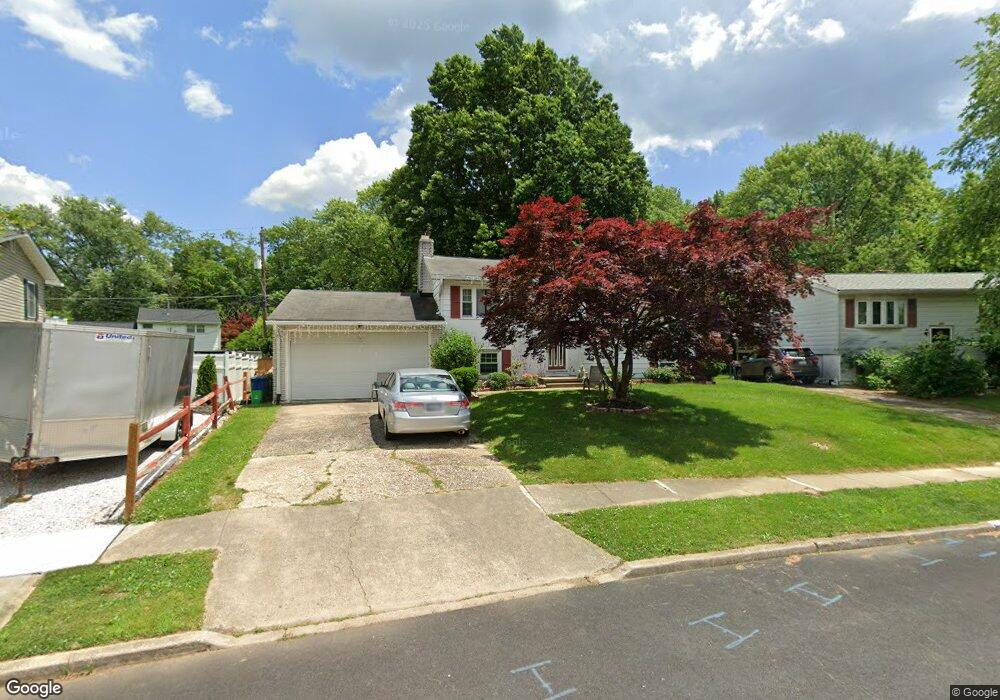
349 Walker St Aberdeen, MD 21001
Estimated Value: $327,703
Studio
1
Bath
936
Sq Ft
$350/Sq Ft
Est. Value
About This Home
This home is located at 349 Walker St, Aberdeen, MD 21001 and is currently estimated at $327,703, approximately $350 per square foot. 349 Walker St is a home located in Harford County with nearby schools including G. Lisby Elementary At Hillsdale, Aberdeen Middle School, and Aberdeen High School.
Ownership History
Date
Name
Owned For
Owner Type
Purchase Details
Closed on
Aug 10, 1999
Sold by
Summerford David Bernard
Bought by
Rivers Beryl W and Rivers Erika
Current Estimated Value
Purchase Details
Closed on
Apr 10, 1992
Sold by
Harris Willie D and Harris Wf
Bought by
Summerford David Bernard
Home Financials for this Owner
Home Financials are based on the most recent Mortgage that was taken out on this home.
Original Mortgage
$86,568
Interest Rate
8.84%
Create a Home Valuation Report for This Property
The Home Valuation Report is an in-depth analysis detailing your home's value as well as a comparison with similar homes in the area
Home Values in the Area
Average Home Value in this Area
Purchase History
| Date | Buyer | Sale Price | Title Company |
|---|---|---|---|
| Rivers Beryl W | $117,000 | -- | |
| Summerford David Bernard | $85,500 | -- |
Source: Public Records
Mortgage History
| Date | Status | Borrower | Loan Amount |
|---|---|---|---|
| Previous Owner | Summerford David Bernard | $86,568 | |
| Closed | Rivers Beryl W | -- |
Source: Public Records
Tax History
| Year | Tax Paid | Tax Assessment Tax Assessment Total Assessment is a certain percentage of the fair market value that is determined by local assessors to be the total taxable value of land and additions on the property. | Land | Improvement |
|---|---|---|---|---|
| 2025 | -- | $235,333 | $0 | $0 |
| 2024 | -- | $219,167 | $0 | $0 |
| 2023 | -- | $203,000 | $53,000 | $150,000 |
| 2022 | $2,101 | $192,800 | $0 | $0 |
| 2020 | $2,582 | $172,400 | $53,000 | $119,400 |
| 2019 | $0 | $166,900 | $0 | $0 |
| 2018 | $0 | $161,400 | $0 | $0 |
| 2017 | $2,582 | $155,900 | $0 | $0 |
| 2016 | -- | $155,900 | $0 | $0 |
| 2015 | $1,843 | $155,900 | $0 | $0 |
| 2014 | $1,843 | $167,600 | $0 | $0 |
Source: Public Records
Map
Nearby Homes
- 642 Walker St
- 729 Cambridge Ave
- 648 S Rogers St
- 760 Cambridge Ave
- 890 Oxford Ave
- 449 S Law St
- 339 Edmund St
- 935 Edmund St
- 321 S Law St
- 0 S Philadelphia Blvd
- 312 S Rogers St
- 0 Harford St Unit MDHR2039982
- 740 Bur Oak Ct Unit 78
- 722 Bur Oak Ct Unit 77
- 422 Ford St
- 229 Baltimore St
- 136 S Parke St
- 74 Smith Ave
- 78 Swan St
- 70 Swan St
Your Personal Tour Guide
Ask me questions while you tour the home.