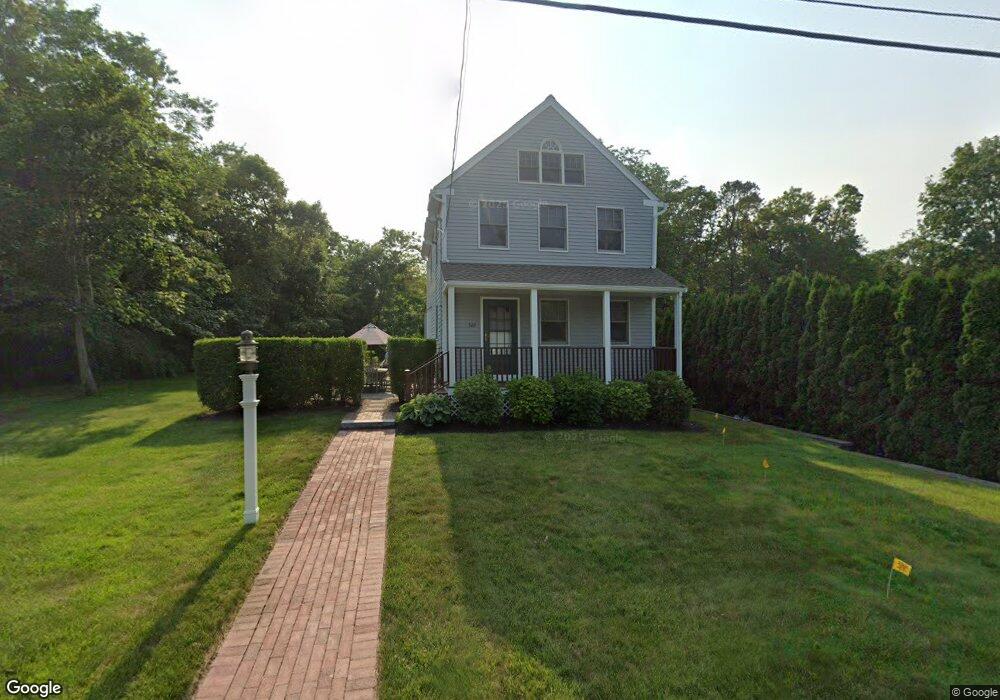
349 Williston Rd Sagamore Beach, MA 02562
Estimated Value: $710,501 - $856,000
2
Beds
2
Baths
1,585
Sq Ft
$504/Sq Ft
Est. Value
About This Home
This home is located at 349 Williston Rd, Sagamore Beach, MA 02562 and is currently estimated at $799,375, approximately $504 per square foot. 349 Williston Rd is a home located in Barnstable County with nearby schools including Bourne High School, Bridgeview Montessori School, and New Testament Christian School.
Ownership History
Date
Name
Owned For
Owner Type
Purchase Details
Closed on
May 29, 2007
Sold by
Wilson Margaret F
Bought by
Greene Thomas M
Current Estimated Value
Home Financials for this Owner
Home Financials are based on the most recent Mortgage that was taken out on this home.
Original Mortgage
$362,039
Interest Rate
6.27%
Mortgage Type
Purchase Money Mortgage
Purchase Details
Closed on
Dec 4, 2006
Sold by
Mfw Rt and Wilson
Bought by
Wilson Margaret F
Create a Home Valuation Report for This Property
The Home Valuation Report is an in-depth analysis detailing your home's value as well as a comparison with similar homes in the area
Home Values in the Area
Average Home Value in this Area
Purchase History
| Date | Buyer | Sale Price | Title Company |
|---|---|---|---|
| Greene Thomas M | $452,549 | -- | |
| Greene Thomas M | $452,549 | -- | |
| Wilson Margaret F | -- | -- | |
| Wilson Margaret F | -- | -- |
Source: Public Records
Mortgage History
| Date | Status | Borrower | Loan Amount |
|---|---|---|---|
| Open | Wilson Margaret F | $305,000 | |
| Closed | Greene Thomas M | $362,039 |
Source: Public Records
Tax History
| Year | Tax Paid | Tax Assessment Tax Assessment Total Assessment is a certain percentage of the fair market value that is determined by local assessors to be the total taxable value of land and additions on the property. | Land | Improvement |
|---|---|---|---|---|
| 2025 | $5,002 | $640,400 | $288,900 | $351,500 |
| 2024 | $4,920 | $613,500 | $275,100 | $338,400 |
| 2023 | $4,814 | $546,400 | $243,500 | $302,900 |
| 2022 | $4,626 | $458,500 | $215,400 | $243,100 |
| 2021 | $4,522 | $419,900 | $196,100 | $223,800 |
| 2020 | $4,410 | $410,600 | $194,200 | $216,400 |
| 2019 | $4,066 | $386,900 | $194,200 | $192,700 |
| 2018 | $3,906 | $370,600 | $185,000 | $185,600 |
| 2017 | $3,779 | $366,900 | $183,200 | $183,700 |
| 2016 | $3,678 | $362,000 | $183,200 | $178,800 |
| 2015 | $3,645 | $362,000 | $183,200 | $178,800 |
Source: Public Records
Map
Nearby Homes
- 133 Phillips Rd
- 10 Tecumseh Rd
- 8 Driftwood Ln
- 38 Siasconset Dr
- 16 Ocean Pines Dr Unit B
- 0 State Rd
- 17 Ridgehill Ln
- 17 Andrew Rd
- 11 Village Green Dr Unit B
- 1 Luigi Ave
- 1 Luigi Ave
- 64 Hunters Brook Rd
- 18 Gibbs Rd
- 40 Menotomy Rd
- 30 Pawtuxet Rd
- 896 Sandwich Rd
- 53 White Cliff Dr
- 42 Cliffside Dr Unit 42
- 51 Commonwealth Ave
- 51 Commonwealth Ave
- 355 Williston Rd
- 350 Williston Rd
- 6 Priscilla Rd
- 170 Standish Rd
- 343 Williston Rd
- 365 Williston Rd
- 178 Standish Rd
- 22 Priscilla Rd
- 164 Standish Rd
- 22 Priscilla Rd
- 334 Williston Rd
- 356 Williston Rd
- 158 Standish Rd
- 51 Mayflower Rd
- 31 Priscilla Rd
- 180 Standish Rd
- 156 Standish Rd
- 369 Williston Rd
- 39 Mayflower Rd
- 364 Williston Rd
Your Personal Tour Guide
Ask me questions while you tour the home.