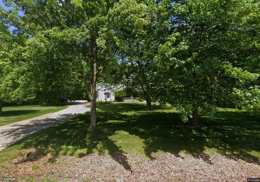
3495 Shellhart Rd Norton, OH 44203
Estimated Value: $386,000 - $486,001
4
Beds
3
Baths
2,976
Sq Ft
$151/Sq Ft
Est. Value
About This Home
This home is located at 3495 Shellhart Rd, Norton, OH 44203 and is currently estimated at $449,750, approximately $151 per square foot. 3495 Shellhart Rd is a home located in Summit County with nearby schools including Norton Primary Elementary School, Norton Middle School, and Norton High School.
Ownership History
Date
Name
Owned For
Owner Type
Purchase Details
Closed on
Oct 16, 1997
Sold by
Schalmo Properties Inc
Bought by
Johnson Kevin D and Johnson Sandra K
Current Estimated Value
Home Financials for this Owner
Home Financials are based on the most recent Mortgage that was taken out on this home.
Original Mortgage
$255,000
Interest Rate
6.5%
Mortgage Type
New Conventional
Create a Home Valuation Report for This Property
The Home Valuation Report is an in-depth analysis detailing your home's value as well as a comparison with similar homes in the area
Home Values in the Area
Average Home Value in this Area
Purchase History
| Date | Buyer | Sale Price | Title Company |
|---|---|---|---|
| Johnson Kevin D | $60,900 | -- |
Source: Public Records
Mortgage History
| Date | Status | Borrower | Loan Amount |
|---|---|---|---|
| Previous Owner | Johnson Kevin D | $255,000 |
Source: Public Records
Tax History
| Year | Tax Paid | Tax Assessment Tax Assessment Total Assessment is a certain percentage of the fair market value that is determined by local assessors to be the total taxable value of land and additions on the property. | Land | Improvement |
|---|---|---|---|---|
| 2024 | $5,662 | $138,125 | $34,696 | $103,429 |
| 2023 | $5,662 | $138,125 | $34,696 | $103,429 |
| 2022 | $5,268 | $105,526 | $26,485 | $79,041 |
| 2021 | $5,293 | $105,526 | $26,485 | $79,041 |
| 2020 | $4,944 | $105,530 | $26,490 | $79,040 |
| 2019 | $5,619 | $105,320 | $24,630 | $80,690 |
| 2018 | $5,525 | $105,320 | $24,630 | $80,690 |
| 2017 | $5,806 | $105,320 | $24,630 | $80,690 |
| 2016 | $5,806 | $101,390 | $24,630 | $76,760 |
| 2015 | $5,806 | $101,390 | $24,630 | $76,760 |
| 2014 | $5,751 | $101,390 | $24,630 | $76,760 |
| 2013 | $5,946 | $105,950 | $24,630 | $81,320 |
Source: Public Records
Map
Nearby Homes
- 3520 Shellhart Rd
- 3705 Creedmor Rd
- 3707 Creedmor Rd
- 3713 Easton Rd
- 3691 Lebbens Rd
- 3616 Everett Dr
- 3713 Alumina Dr
- 3715 Alumina Dr
- 3717 Alumina Dr
- 3687 Kirkham Dr
- 3217 Creekside Dr
- 3212 Longwood Dr
- 4001 S Cleveland Massillon Rd
- 2992 Greenridge Rd
- V/L 3837 S Cleveland Massillon Rd
- 1275 Norton Ave Unit H4
- 652 Parkway Blvd
- 3805 Mount Vernon Blvd
- 2857 Maco Dr
- 4059 Knollbrook Dr
- 3510 Shellhart Rd
- 3500 Shellhart Rd
- 3473 Shellhart Rd
- 3490 Shellhart Rd
- 3530 Shellhart Rd
- 3565 Little Blvd
- 3498 Shellhart Rd
- 3552 Brookside Dr
- 3509 Weyrick Dr
- 3472 Shellhart Rd
- 3499 Weyrick Dr
- 3519 Weyrick Dr
- 3601 Little Blvd
- 3489 Weyrick Dr
- 3529 Weyrick Dr
- 3535 Little Blvd
- 3612 Brookside Dr
- 3539 Weyrick Dr
- 3536 Brookside Dr
- 3454 Shellhart Rd
Your Personal Tour Guide
Ask me questions while you tour the home.