35 Anchor Dr Unit 35A Key Largo, FL 33037
North Key Largo NeighborhoodEstimated Value: $1,505,000 - $1,812,279
1
Bed
1
Bath
686
Sq Ft
$2,373/Sq Ft
Est. Value
About This Home
This home is located at 35 Anchor Dr Unit 35A, Key Largo, FL 33037 and is currently estimated at $1,627,570, approximately $2,372 per square foot. 35 Anchor Dr Unit 35A is a home located in Monroe County with nearby schools including Key Largo School, Coral Shores High School, and The Academy At Ocean Reef.
Ownership History
Date
Name
Owned For
Owner Type
Purchase Details
Closed on
Dec 3, 2021
Sold by
Dock Dynasty Llc
Bought by
Roscia Ronald
Current Estimated Value
Purchase Details
Closed on
Apr 19, 2021
Sold by
Mccarron Diane and Mccarron Victor
Bought by
Dock Dynasty Llc
Purchase Details
Closed on
Jan 27, 2020
Sold by
Brush Street Trust
Bought by
Mccarron Diane
Purchase Details
Closed on
Jul 9, 2015
Sold by
Pdp Realty Lc
Bought by
Wood Rodney P and The Brush Trust
Purchase Details
Closed on
Apr 12, 2002
Sold by
Ingalls Melville E and Ingalls Barbara M
Bought by
Kelly Charlotte F
Purchase Details
Closed on
Aug 9, 2001
Sold by
Johnston Alice G Trust
Bought by
Pdp Realty
Purchase Details
Closed on
Aug 6, 2001
Sold by
Smith Jeanine R
Bought by
Johnston Alice G Trust
Purchase Details
Closed on
Feb 1, 1976
Bought by
The Brush Street Trust 2/9/1988
Create a Home Valuation Report for This Property
The Home Valuation Report is an in-depth analysis detailing your home's value as well as a comparison with similar homes in the area
Home Values in the Area
Average Home Value in this Area
Purchase History
| Date | Buyer | Sale Price | Title Company |
|---|---|---|---|
| Roscia Ronald | $930,000 | Attorney | |
| Dock Dynasty Llc | $632,000 | Attorney | |
| Mccarron Diane | $650,000 | First International Title | |
| Wood Rodney P | $380,000 | Attorney | |
| Kelly Charlotte F | $600,000 | -- | |
| Pdp Realty | $260,000 | -- | |
| Johnston Alice G Trust | $260,000 | -- | |
| The Brush Street Trust 2/9/1988 | $41,500 | -- |
Source: Public Records
Tax History
| Year | Tax Paid | Tax Assessment Tax Assessment Total Assessment is a certain percentage of the fair market value that is determined by local assessors to be the total taxable value of land and additions on the property. | Land | Improvement |
|---|---|---|---|---|
| 2025 | $5,753 | $841,423 | -- | -- |
| 2024 | $10,298 | $817,710 | -- | -- |
| 2023 | $10,298 | $1,454,000 | $0 | $1,454,000 |
| 2022 | $5,315 | $770,771 | $0 | $770,771 |
| 2021 | $3,977 | $501,071 | $0 | $501,071 |
| 2020 | $4,144 | $521,199 | $0 | $521,199 |
| 2019 | $2,541 | $336,218 | $0 | $336,218 |
| 2018 | $2,537 | $329,949 | $0 | $0 |
| 2017 | $2,476 | $323,163 | $0 | $0 |
| 2016 | $2,540 | $316,517 | $0 | $0 |
| 2015 | $2,322 | $240,786 | $0 | $0 |
| 2014 | $2,387 | $240,786 | $0 | $0 |
Source: Public Records
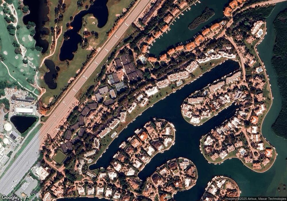
Map
Nearby Homes
- 64 Tarpon Ln
- 26 Marlin Ln Unit B
- 41 Pumpkin Cay Rd Unit A
- 10 Cannon Point
- 44 Card Sound Rd
- 22 S South Island Dr Dr
- 22 S Island Dr
- 365 S Harbor Dr
- 48 Thatch Palm Way
- 31 S Carysfort Cir
- 0 167th & Card Sound Rd Unit F10511744
- 500 Burton Dr Unit 3310
- 500 Burton Dr Unit 1314
- 10987 County Road 905
- 0 NW 0 Unit A11935439
- 0 NW 0 Unit A11956672
- 0 NW 0 Unit A11935466
- 410xx SW 122 Ave
- 400xx SW 122 Ave
- 0 Unit 616391
- 46 Anchor Dr Unit 46B
- 35B Anchor Dr Unit 35B
- 46 Anchor Dr Unit 46A
- 40 Anchor Dr Unit 40A
- 36A Anchor Dr Unit 36A
- 35 Anchor Dr Unit A
- 41 Anchor Dr Unit B
- 42 Anchor Dr Unit 42B
- 42 Anchor Dr Unit 42A
- 39 Anchor Dr Unit 39B
- 39 Anchor Dr Unit 39A
- 40 Anchor Dr Unit 40B
- 43B Anchor Dr Unit 43B
- 43A Anchor Dr Unit 43A
- 44 Anchor Dr Unit B
- 38 Anchor Dr Unit 38B
- 38 Anchor Dr Unit 38A
- 45 Anchor Dr Unit 45B
- 45 Anchor Dr Unit 45A
- 37 Anchor Dr Unit 37B
Your Personal Tour Guide
Ask me questions while you tour the home.