Estimated Value: $254,000 - $274,000
3
Beds
2
Baths
1,124
Sq Ft
$233/Sq Ft
Est. Value
About This Home
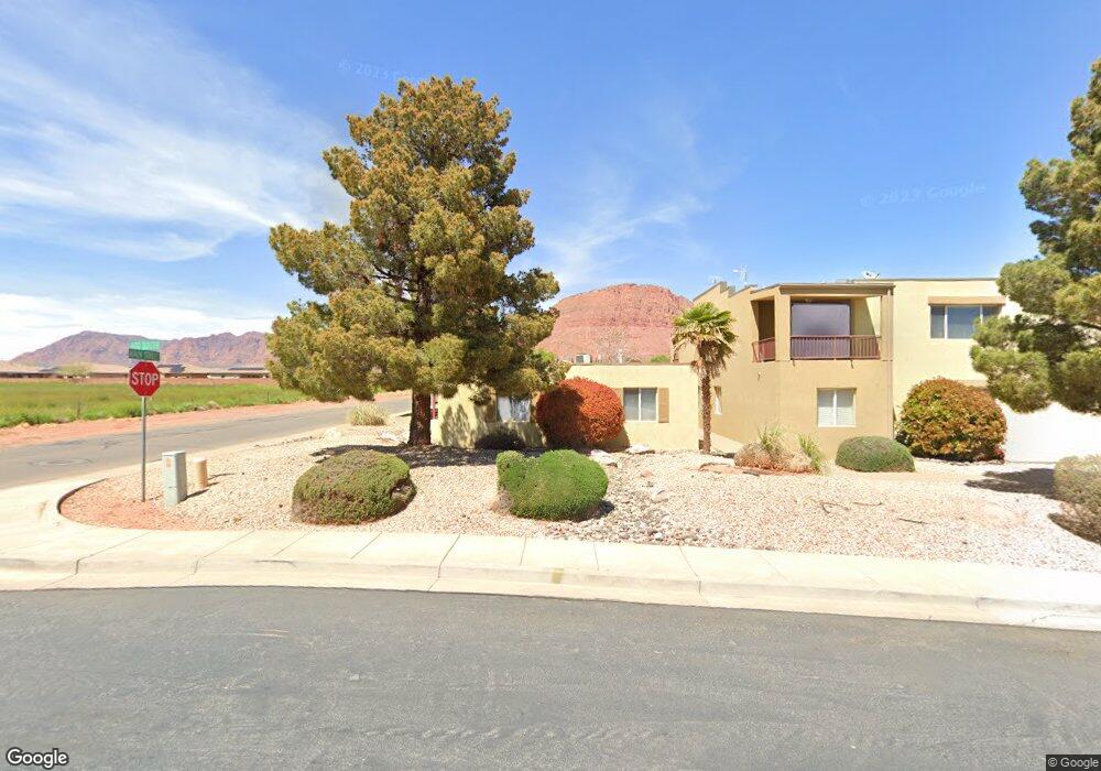
This home is located at 35 E 600 S Unit B205, Ivins, UT 84738 and is currently estimated at $261,449, approximately $232 per square foot. 35 E 600 S Unit B205 is a home located in Washington County with nearby schools including Red Mountain School, Snow Canyon Middle School, and Lava Ridge Intermediate School.
Ownership History
Date
Name
Owned For
Owner Type
Purchase Details
Closed on
May 23, 2025
Sold by
Demille Paris
Bought by
Desert Oasis Trust and Coons
Current Estimated Value
Purchase Details
Closed on
Jan 4, 2024
Sold by
Macz Investments Llc
Bought by
Demille Paris
Home Financials for this Owner
Home Financials are based on the most recent Mortgage that was taken out on this home.
Original Mortgage
$220,400
Interest Rate
7.29%
Mortgage Type
New Conventional
Purchase Details
Closed on
Jun 5, 2017
Sold by
67 Investments Llc
Bought by
Macz Investments Llc
Purchase Details
Closed on
Oct 15, 2010
Sold by
Amenti Inc
Bought by
Ve Management & Investment Co Lc
Create a Home Valuation Report for This Property
The Home Valuation Report is an in-depth analysis detailing your home's value as well as a comparison with similar homes in the area
Purchase History
We collect this data history from publicly available records. To have your information removed, we recommend requesting removal directly through your county’s website.
| Date | Buyer | Sale Price | Title Company |
|---|---|---|---|
| Desert Oasis Trust | -- | None Listed On Document | |
| Demille Paris | -- | First American Title Insurance | |
| Macz Investments Llc | -- | First American Title | |
| Ve Management & Investment Co Lc | -- | Sun West Title |
Source: Public Records
Mortgage History
We collect this data history from publicly available records. To have your information removed, we recommend requesting removal directly through your county’s website.
| Date | Status | Borrower | Loan Amount |
|---|---|---|---|
| Previous Owner | Demille Paris | $220,400 |
Source: Public Records
Tax History
| Year | Tax Paid | Tax Assessment Tax Assessment Total Assessment is a certain percentage of the fair market value that is determined by local assessors to be the total taxable value of land and additions on the property. | Land | Improvement |
|---|---|---|---|---|
| 2025 | $1,673 | $132,660 | $33,000 | $99,660 |
| 2023 | $886 | $129,855 | $33,000 | $96,855 |
| 2022 | $927 | $127,820 | $27,500 | $100,320 |
| 2021 | $888 | $182,000 | $50,000 | $132,000 |
| 2020 | $800 | $155,100 | $50,000 | $105,100 |
| 2019 | $666 | $126,400 | $40,000 | $86,400 |
| 2018 | $580 | $56,595 | $0 | $0 |
| 2017 | $538 | $51,095 | $0 | $0 |
| 2016 | $536 | $46,970 | $0 | $0 |
| 2015 | $509 | $43,010 | $0 | $0 |
| 2014 | $489 | $41,470 | $0 | $0 |
Source: Public Records
Map
Nearby Homes
- 525 S Serenity Cir
- 565 Harmony Cir
- 557 Harmony Cir
- 37 W Serenity Cir
- 75 Serenity Cir
- 61 E 490 S
- 699 S 160 E
- 422 S 175 E
- 565 S 250 E
- 697 E Coral Autumn Ln
- 373 S 100 W
- 617 S 285 E Unit 15
- 227 W United Way
- 673 S 230 W Unit (lot 9)
- 690 S 230 W
- 686 S 230 W Unit (lot 19)
- 693 S 230 W
- 693 S 230 W Unit Lot 12
- 690 S 230 W Unit (lot 18)
- 686 S 230 W
- 35 E 600 S Unit A206
- 35 E 600 S Unit B203
- 35 E 600 S Unit B106
- 35 E 600 S Unit B105
- 35 E 600 S Unit B104
- 35 E 600 S Unit B103
- 35 E 600 S Unit B102
- 35 E 600 S Unit B101
- 35 E 600 S Unit A206
- 35 E 600 S Unit A205
- 35 E 600 S Unit A203
- 35 E 600 S Unit A202
- 35 E 600 S Unit A106
- 35 E 600 S Unit A105
- 35 E 600 S Unit A104
- 35 E 600 S Unit A103
- 35 E 600 S Unit A102
- 35 E 600 S Unit A101
- 35 E 600 S
- 35 E 600 S Unit 103A
Your Personal Tour Guide
Ask me questions while you tour the home.