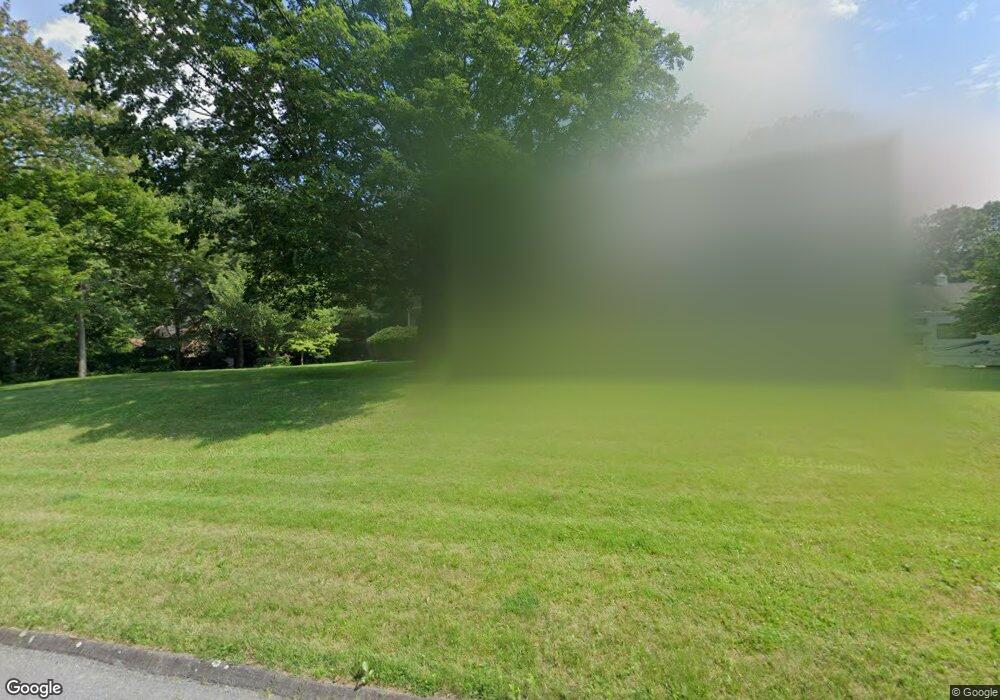
35 High Ridge Rd Redding, CT 06896
Estimated Value: $920,399 - $1,051,000
4
Beds
3
Baths
2,676
Sq Ft
$366/Sq Ft
Est. Value
About This Home
This home is located at 35 High Ridge Rd, Redding, CT 06896 and is currently estimated at $979,600, approximately $366 per square foot. 35 High Ridge Rd is a home located in Fairfield County with nearby schools including Redding Elementary School, John Read Middle School, and Joel Barlow High School.
Ownership History
Date
Name
Owned For
Owner Type
Purchase Details
Closed on
Dec 14, 2022
Sold by
Walker Lori M
Bought by
Queenan John and Queenan Marie B
Current Estimated Value
Home Financials for this Owner
Home Financials are based on the most recent Mortgage that was taken out on this home.
Original Mortgage
$525,000
Outstanding Balance
$507,124
Interest Rate
6.95%
Mortgage Type
Purchase Money Mortgage
Estimated Equity
$472,476
Purchase Details
Closed on
Nov 14, 1995
Sold by
Watt Alan A and Watt Tula G
Bought by
Walker Lori Ms
Create a Home Valuation Report for This Property
The Home Valuation Report is an in-depth analysis detailing your home's value as well as a comparison with similar homes in the area
Home Values in the Area
Average Home Value in this Area
Purchase History
We collect this data history from publicly available records. To have your information removed, we recommend requesting removal directly through your county’s website.
| Date | Buyer | Sale Price | Title Company |
|---|---|---|---|
| Queenan John | $700,000 | None Available | |
| Walker Lori Ms | $425,000 | -- |
Source: Public Records
Mortgage History
We collect this data history from publicly available records. To have your information removed, we recommend requesting removal directly through your county’s website.
| Date | Status | Borrower | Loan Amount |
|---|---|---|---|
| Open | Queenan John | $525,000 | |
| Previous Owner | Walker Lori Ms | $150,000 | |
| Previous Owner | Walker Lori Ms | $190,000 | |
| Previous Owner | Walker Lori Ms | $100,000 |
Source: Public Records
Tax History
| Year | Tax Paid | Tax Assessment Tax Assessment Total Assessment is a certain percentage of the fair market value that is determined by local assessors to be the total taxable value of land and additions on the property. | Land | Improvement |
|---|---|---|---|---|
| 2025 | $16,155 | $546,900 | $154,700 | $392,200 |
| 2024 | $15,707 | $546,900 | $154,700 | $392,200 |
| 2023 | $15,144 | $546,900 | $154,700 | $392,200 |
| 2022 | $12,979 | $389,300 | $167,000 | $222,300 |
| 2021 | $18,159 | $389,300 | $167,000 | $222,300 |
| 2020 | $17,642 | $389,300 | $167,000 | $222,300 |
| 2019 | $17,760 | $389,300 | $167,000 | $222,300 |
| 2018 | $12,349 | $389,300 | $167,000 | $222,300 |
| 2017 | $16,517 | $422,000 | $182,700 | $239,300 |
| 2016 | $12,339 | $422,000 | $182,700 | $239,300 |
| 2015 | $12,200 | $422,000 | $182,700 | $239,300 |
| 2014 | $12,200 | $422,000 | $182,700 | $239,300 |
Source: Public Records
Map
Nearby Homes
- 44 High Ridge Rd
- 159 Cross Hwy
- 15 Silversmith Ln
- 5 Iris Ln
- 7 Long Meadow Ln
- 128 Black Rock Turnpike
- 2 Longwood Dr
- 281 Newtown Turnpike
- 16 Shady Ln
- 5 Musket Ln
- 6 Winding Brook Ct
- 28 Goodridge Rd
- 63 Turney Rd
- 15 Old Mailcoach Rd
- 40 Deer Hill Rd
- 98 Hopewell Woods Rd
- 74 Black Rock Turnpike
- 110 Sport Hill Rd
- 101 Sport Hill Rd
- 81 Pinetree Rd
- 37 High Ridge Rd
- 33 High Ridge Rd
- 32 High Ridge Rd
- 36 High Ridge Rd
- 34 High Ridge Rd
- 39 High Ridge Rd
- 30 High Ridge Rd
- 38 High Ridge Rd
- 31 High Ridge Rd
- 41 High Ridge Rd
- 29 High Ridge Rd
- 54 High Ridge Rd
- 52 High Ridge Rd
- 3 Little River Ln
- 117 Cross Hwy
- 5 Little River Ln
- 22 High Ridge Rd
- 47 High Ridge Rd
- 60 High Ridge Rd
- 53 High Ridge Rd
Your Personal Tour Guide
Ask me questions while you tour the home.