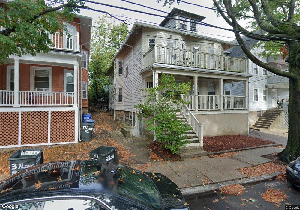
35 Long Ave Allston, MA 02134
Commonwealth NeighborhoodEstimated Value: $1,368,000 - $1,701,000
5
Beds
5
Baths
3,104
Sq Ft
$509/Sq Ft
Est. Value
About This Home
This home is located at 35 Long Ave, Allston, MA 02134 and is currently estimated at $1,581,417, approximately $509 per square foot. 35 Long Ave is a home located in Suffolk County with nearby schools including Match Charter Public School, Boston Green Academy Horace Mann Charter School, and Mesivta High School of Greater Boston.
Ownership History
Date
Name
Owned For
Owner Type
Purchase Details
Closed on
Jun 28, 2004
Sold by
Long Ave Nt 35
Bought by
Faisal Anwar
Current Estimated Value
Purchase Details
Closed on
Aug 22, 2003
Sold by
Newfang Llc
Bought by
Long Ave Nt
Purchase Details
Closed on
Aug 21, 2003
Sold by
Mulcahy Janet R and Murray Joseph E
Bought by
Newfang Llc
Create a Home Valuation Report for This Property
The Home Valuation Report is an in-depth analysis detailing your home's value as well as a comparison with similar homes in the area
Home Values in the Area
Average Home Value in this Area
Purchase History
We collect this data history from publicly available records. To have your information removed, we recommend requesting removal directly through your county’s website.
| Date | Buyer | Sale Price | Title Company |
|---|---|---|---|
| Faisal Anwar | -- | -- | |
| Long Ave Nt | $465,000 | -- | |
| Newfang Llc | $415,000 | -- |
Source: Public Records
Tax History
| Year | Tax Paid | Tax Assessment Tax Assessment Total Assessment is a certain percentage of the fair market value that is determined by local assessors to be the total taxable value of land and additions on the property. | Land | Improvement |
|---|---|---|---|---|
| 2025 | $16,381 | $1,414,600 | $556,500 | $858,100 |
| 2024 | $15,137 | $1,388,700 | $416,500 | $972,200 |
| 2023 | $14,915 | $1,388,700 | $416,500 | $972,200 |
| 2022 | $13,735 | $1,262,400 | $378,600 | $883,800 |
| 2021 | $13,470 | $1,262,400 | $378,600 | $883,800 |
| 2020 | $12,695 | $1,202,200 | $332,900 | $869,300 |
| 2019 | $12,302 | $1,167,200 | $254,700 | $912,500 |
| 2018 | $11,538 | $1,101,000 | $254,700 | $846,300 |
| 2017 | $11,105 | $1,048,600 | $254,700 | $793,900 |
| 2016 | $10,118 | $919,800 | $254,700 | $665,100 |
| 2015 | $9,531 | $787,000 | $171,400 | $615,600 |
| 2014 | $8,572 | $681,400 | $171,400 | $510,000 |
Source: Public Records
Map
Nearby Homes
- 39 Glenville Ave Unit 71
- 131 Glenville Ave Unit 131
- 5 Spofford Rd Unit 11
- 30 Glenville Ave Unit 1
- 1269 Commonwealth Ave Unit 11
- 28 Quint Ave Unit 32
- 18 Glenville Ave Unit 3A
- 159-161 Allston
- 1404 Commonwealth Ave Unit 17
- 85 Brainerd Rd Unit 415
- 85 Brainerd Rd Unit 505
- 1408 Commonwealth Ave Unit 8-11
- 1408 Commonwealth Ave Unit 14
- 10 Scottfield Rd Unit 2
- 10 Scottfield Rd Unit B34
- 87 Gordon St
- 36 Gordon St
- 147 Kelton St Unit 305
- 45 Gordon St Unit 4
- 533 Cambridge St Unit 308
- 7 Greylock Rd
- 7 Greylock Rd
- 7 Greylock Rd Unit 1
- 7 Greylock Rd Unit 2
- 9 Greylock Rd
- 9 Greylock Rd Unit 4
- 9 Greylock Rd
- 9 Greylock Rd Unit 1
- 9 Greylock Rd Unit 3
- 27 Greylock Rd
- 5 Greylock Rd
- 5 Greylock Rd Unit 2
- 5 Greylock Rd Unit 1A
- 3 Greylock Rd
- 11 Greylock Rd
- 11 Greylock Rd Unit 1
- 11 Greylock Rd
- 11 Greylock Rd Unit 2
- 35 Long Ave Unit B
- 35 Long Ave Unit 35 Long Ave.
Your Personal Tour Guide
Ask me questions while you tour the home.