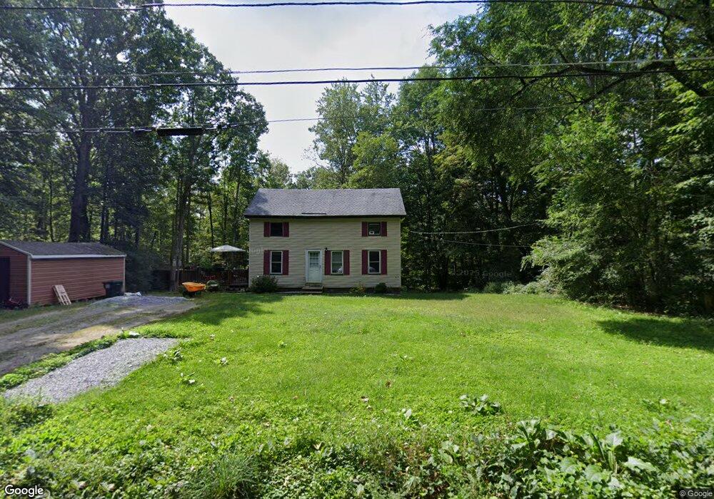
35 Mcintyre Rd Charlton, MA 01507
Estimated Value: $348,000 - $436,000
3
Beds
2
Baths
1,178
Sq Ft
$325/Sq Ft
Est. Value
About This Home
This home is located at 35 Mcintyre Rd, Charlton, MA 01507 and is currently estimated at $382,528, approximately $324 per square foot. 35 Mcintyre Rd is a home located in Worcester County with nearby schools including Shepherd Hill Regional High School.
Create a Home Valuation Report for This Property
The Home Valuation Report is an in-depth analysis detailing your home's value as well as a comparison with similar homes in the area
Home Values in the Area
Average Home Value in this Area
Tax History
| Year | Tax Paid | Tax Assessment Tax Assessment Total Assessment is a certain percentage of the fair market value that is determined by local assessors to be the total taxable value of land and additions on the property. | Land | Improvement |
|---|---|---|---|---|
| 2025 | $3,309 | $297,300 | $95,200 | $202,100 |
| 2024 | $3,253 | $286,900 | $95,000 | $191,900 |
| 2023 | $3,199 | $262,900 | $90,500 | $172,400 |
| 2022 | $3,166 | $238,200 | $82,200 | $156,000 |
| 2021 | $3,014 | $200,800 | $78,000 | $122,800 |
| 2020 | $2,955 | $197,800 | $75,000 | $122,800 |
| 2019 | $2,922 | $197,800 | $75,000 | $122,800 |
| 2018 | $2,670 | $197,800 | $75,000 | $122,800 |
| 2017 | $2,577 | $182,800 | $69,000 | $113,800 |
| 2016 | $2,519 | $182,800 | $69,000 | $113,800 |
| 2015 | $2,453 | $182,800 | $69,000 | $113,800 |
| 2014 | $2,385 | $188,400 | $71,600 | $116,800 |
Source: Public Records
Map
Nearby Homes
- 0 Blood Rd
- 57 & 59 Pumpkin Ln
- 2 Sandersdale Rd
- 91 Burlingame Rd
- 0 Oak Ridge Dr
- 0 Sandersdale Rd
- Lot 7 Harrington Rd
- 93 Haggerty Rd
- 0 Freeman Rd Unit 73369281
- 230 Southbridge Rd
- 876 Worcester St
- 2 Sawmill Cir
- L2 Partridge Hill Rd
- L3 Partridge Hill Rd
- Lot A Sampson Rd
- 6 Gillespie Rd
- 121 Charlton St
- 7 Pearl St
- 74 Hill Rd Unit A
- 33 Kingsley St
Your Personal Tour Guide
Ask me questions while you tour the home.