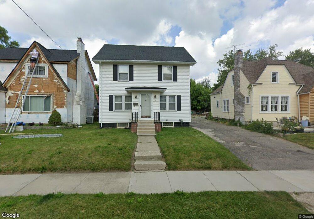
35 Mohawk Rd Pontiac, MI 48341
Estimated Value: $178,531 - $239,000
About This Home
This home is located at 35 Mohawk Rd, Pontiac, MI 48341 and is currently estimated at $203,883, approximately $127 per square foot. 35 Mohawk Rd is a home located in Oakland County with nearby schools including Walt Whitman Elementary School, Pontiac Middle School, and Pontiac High School.
Ownership History
We collect this data history from publicly available records. To have your information removed, we recommend requesting removal directly through your county’s website.
Purchase Details
Home Financials for this Owner
Home Financials are based on the most recent Mortgage that was taken out on this home.Purchase Details
Home Values in the Area
Average Home Value in this Area
Purchase History
We collect this data history from publicly available records. To have your information removed, we recommend requesting removal directly through your county’s website.
| Date | Buyer | Sale Price | Title Company |
|---|---|---|---|
| $147,000 | Title First Agency Mi Llc | ||
| $135,000 | -- |
Mortgage History
We collect this data history from publicly available records. To have your information removed, we recommend requesting removal directly through your county’s website.
| Date | Status | Borrower | Loan Amount |
|---|---|---|---|
| Previous Owner | $145,847 |
Tax History
We collect this data history from publicly available records. To have your information removed, we recommend requesting removal directly through your county’s website.
| Year | Tax Paid | Tax Assessment Tax Assessment Total Assessment is a certain percentage of the fair market value that is determined by local assessors to be the total taxable value of land and additions on the property. | Land | Improvement |
|---|---|---|---|---|
| 2025 | $892 | $83,710 | $0 | $0 |
| 2024 | $868 | $77,750 | $0 | $0 |
| 2023 | $827 | $68,190 | $0 | $0 |
| 2022 | $867 | $55,080 | $0 | $0 |
| 2021 | $844 | $46,450 | $0 | $0 |
| 2020 | $751 | $40,050 | $0 | $0 |
| 2019 | $817 | $34,270 | $0 | $0 |
| 2018 | $783 | $27,660 | $0 | $0 |
| 2017 | $742 | $25,470 | $0 | $0 |
| 2016 | $768 | $24,840 | $0 | $0 |
| 2015 | -- | $21,540 | $0 | $0 |
| 2014 | -- | $19,400 | $0 | $0 |
| 2011 | -- | $31,810 | $0 | $0 |
Map
- 832 W Huron St
- 47 Osceola Dr
- 46 Oriole Rd
- 0000 Owego Dr
- 933 Myrtle Ave
- 952 Lakeview St
- 969 Myrtle Ave
- 977 Boston Ave
- 39 Neome Dr
- 122 N Tilden Ave
- 995 Lakeview St
- 107 S Tilden Ave
- 509 Elizabeth Lake Rd
- 135 Wenonah Dr
- 15 Miami Rd
- 358 W Iroquois Rd
- V/L W Huron St
- 135 Draper Ave
- 51 Spokane Dr
- 216 Tucker St Unit 229
Ask me questions while you tour the home.