35 Saunders Ln Hackettstown, NJ 07840
Estimated Value: $860,277 - $923,000
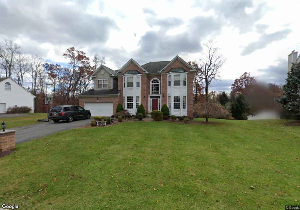
About This Home
This home is located at 35 Saunders Ln, Hackettstown, NJ 07840 and is currently estimated at $886,569, approximately $243 per square foot. 35 Saunders Ln is a home located in Morris County with nearby schools including Mt Olive Middle School and Mount Olive High School.
Ownership History
We collect this data history from publicly available records. To have your information removed, we recommend requesting removal directly through your county’s website.
Purchase Details
Home Financials for this Owner
Home Financials are based on the most recent Mortgage that was taken out on this home.Home Values in the Area
Average Home Value in this Area
Purchase History
We collect this data history from publicly available records. To have your information removed, we recommend requesting removal directly through your county’s website.
| Date | Buyer | Sale Price | Title Company |
|---|---|---|---|
| $527,934 | -- |
Mortgage History
We collect this data history from publicly available records. To have your information removed, we recommend requesting removal directly through your county’s website.
| Date | Status | Borrower | Loan Amount |
|---|---|---|---|
| Open | $448,743 |
Tax History
We collect this data history from publicly available records. To have your information removed, we recommend requesting removal directly through your county’s website.
| Year | Tax Paid | Tax Assessment Tax Assessment Total Assessment is a certain percentage of the fair market value that is determined by local assessors to be the total taxable value of land and additions on the property. | Land | Improvement |
|---|---|---|---|---|
| 2025 | $18,073 | $518,600 | $153,700 | $364,900 |
| 2024 | $17,046 | $518,600 | $153,700 | $364,900 |
| 2023 | $17,046 | $518,600 | $153,700 | $364,900 |
| 2022 | $17,415 | $518,600 | $153,700 | $364,900 |
| 2021 | $17,415 | $518,600 | $153,700 | $364,900 |
| 2020 | $17,181 | $518,600 | $153,700 | $364,900 |
| 2019 | $17,124 | $518,600 | $153,700 | $364,900 |
| 2018 | $16,958 | $518,600 | $153,700 | $364,900 |
| 2017 | $16,663 | $518,600 | $153,700 | $364,900 |
| 2016 | $16,134 | $518,600 | $153,700 | $364,900 |
| 2015 | $16,512 | $518,600 | $153,700 | $364,900 |
| 2014 | $16,528 | $518,600 | $153,700 | $364,900 |
Map
- 38 Saunders Ln
- 20 Mine Hill Rd
- 63 Sowers Dr
- 144 Stephens State Park Rd
- 227 Winding Hill Dr
- 6 Brock Ln Unit 6
- 2 Brock Ln
- 59 Scenic Ct
- 50 Drakestown Rd
- 24 Powhatatan Way
- 48 Saxton Dr
- 31 Winding Hill Dr
- 71 Saxton Dr
- 482 U S 46
- 16 Yorkshire Dr
- 7 Winchester Ave
- 106 Louis Ln
- 64 Dayton Ct Unit 205
- 825 Sierra Dr
- 52 Smithtown Rd
- 37 Saunders Ln
- 33 Saunders Ln
- 39 Saunders Ln
- 32 Saunders Ln
- 34 Saunders Ln
- 30 Saunders Ln
- 41 Saunders Ln
- 36 Saunders Ln
- 40 Saunders Ln
- 40 Mine Hill Rd
- 26 Saunders Ln
- 42 Saunders Ln
- 47 Saunders Ln
- 29 Saunders Ln
- 38 Mine Hill Rd
- 44 Saunders Ln
- 49 Saunders Ln
- 51 Saunders Ln
- 46 Saunders Ln
- 24 Saunders Ln
Ask me questions while you tour the home.