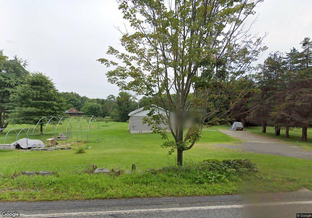
35 Stimson St Palmer, MA 01069
Estimated Value: $312,000 - $358,000
3
Beds
2
Baths
1,248
Sq Ft
$272/Sq Ft
Est. Value
About This Home
This home is located at 35 Stimson St, Palmer, MA 01069 and is currently estimated at $338,860, approximately $271 per square foot. 35 Stimson St is a home located in Hampden County with nearby schools including Old Mill Pond Elementary School, Converse Middle School, and Palmer High School.
Ownership History
Date
Name
Owned For
Owner Type
Purchase Details
Closed on
Nov 29, 2006
Sold by
Murray Earl J
Bought by
Scruton Daniel G
Current Estimated Value
Home Financials for this Owner
Home Financials are based on the most recent Mortgage that was taken out on this home.
Original Mortgage
$166,950
Outstanding Balance
$96,469
Interest Rate
6.36%
Mortgage Type
Purchase Money Mortgage
Estimated Equity
$242,391
Create a Home Valuation Report for This Property
The Home Valuation Report is an in-depth analysis detailing your home's value as well as a comparison with similar homes in the area
Home Values in the Area
Average Home Value in this Area
Purchase History
We collect this data history from publicly available records. To have your information removed, we recommend requesting removal directly through your county’s website.
| Date | Buyer | Sale Price | Title Company |
|---|---|---|---|
| Scruton Daniel G | $185,500 | -- |
Source: Public Records
Mortgage History
We collect this data history from publicly available records. To have your information removed, we recommend requesting removal directly through your county’s website.
| Date | Status | Borrower | Loan Amount |
|---|---|---|---|
| Open | Scruton Daniel G | $166,950 |
Source: Public Records
Tax History
| Year | Tax Paid | Tax Assessment Tax Assessment Total Assessment is a certain percentage of the fair market value that is determined by local assessors to be the total taxable value of land and additions on the property. | Land | Improvement |
|---|---|---|---|---|
| 2025 | $5,133 | $280,800 | $69,700 | $211,100 |
| 2024 | $4,766 | $255,300 | $63,600 | $191,700 |
| 2023 | $4,774 | $245,600 | $63,600 | $182,000 |
| 2022 | $4,483 | $209,500 | $55,900 | $153,600 |
| 2021 | $4,193 | $185,300 | $62,000 | $123,300 |
| 2020 | $4,068 | $178,400 | $62,000 | $116,400 |
| 2019 | $3,950 | $178,400 | $62,000 | $116,400 |
| 2018 | $3,826 | $173,300 | $60,300 | $113,000 |
| 2017 | $3,738 | $173,300 | $60,300 | $113,000 |
| 2016 | $3,612 | $169,800 | $58,600 | $111,200 |
| 2015 | $3,503 | $169,800 | $58,600 | $111,200 |
Source: Public Records
Map
Nearby Homes
- Lot 34 Old Warren Rd
- Lot 14 Center St
- 0 Old Warren Rd
- 101 Ware St
- 4030-4032 Pine St
- 4018-4024 Church St
- 70 Summer St
- 593 Old Warren Rd
- 599-607 Old Warren Rd
- 123 Peterson Rd
- 7,37,38 Thorndike and Lawrence St
- 1711-1723 Ware St
- 2B Forest Hill Dr
- 0 St Unit 73414881
- Lot 8 Breckenridge St
- 44-50 Lawrence St
- 62-91 Lawrence St
- 734 River St
- 3012 Thorndike St
- 3080 Hillside Dr
Your Personal Tour Guide
Ask me questions while you tour the home.