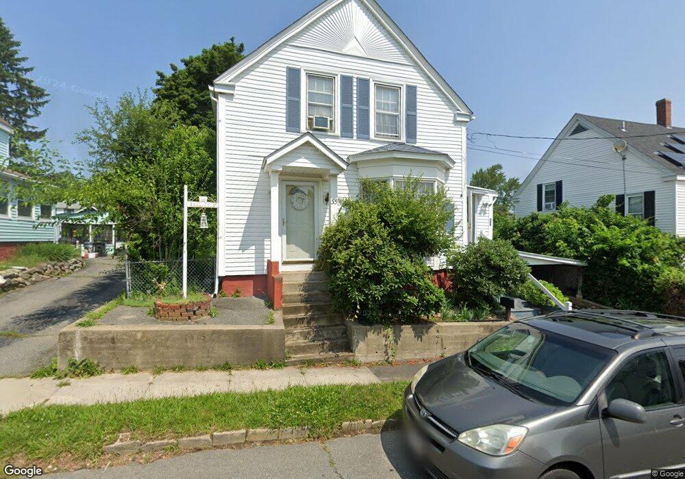
35 Willie St Haverhill, MA 01832
Broad Hill NeighborhoodEstimated Value: $449,000 - $485,459
About This Home
This home is located at 35 Willie St, Haverhill, MA 01832 and is currently estimated at $464,115, approximately $363 per square foot. 35 Willie St is a home located in Essex County with nearby schools including Tilton Elementary School, Consentino Middle School, and Haverhill High School.
Ownership History
We collect this data history from publicly available records. To have your information removed, we recommend requesting removal directly through your county’s website.
Purchase Details
Home Values in the Area
Average Home Value in this Area
Purchase History
We collect this data history from publicly available records. To have your information removed, we recommend requesting removal directly through your county’s website.
| Date | Buyer | Sale Price | Title Company |
|---|---|---|---|
| -- | -- |
Mortgage History
We collect this data history from publicly available records. To have your information removed, we recommend requesting removal directly through your county’s website.
| Date | Status | Borrower | Loan Amount |
|---|---|---|---|
| Closed | $84,000 | ||
| Closed | $90,000 | ||
| Closed | $20,000 |
Tax History
We collect this data history from publicly available records. To have your information removed, we recommend requesting removal directly through your county’s website.
| Year | Tax Paid | Tax Assessment Tax Assessment Total Assessment is a certain percentage of the fair market value that is determined by local assessors to be the total taxable value of land and additions on the property. | Land | Improvement |
|---|---|---|---|---|
| 2025 | $4,319 | $403,300 | $150,300 | $253,000 |
| 2024 | $3,950 | $371,200 | $147,300 | $223,900 |
| 2023 | $3,914 | $351,000 | $147,300 | $203,700 |
| 2022 | $3,852 | $302,800 | $139,800 | $163,000 |
| 2021 | $3,595 | $267,500 | $124,800 | $142,700 |
| 2020 | $3,499 | $257,300 | $117,300 | $140,000 |
| 2019 | $3,379 | $242,200 | $102,200 | $140,000 |
| 2018 | $3,236 | $226,900 | $96,200 | $130,700 |
| 2017 | $3,194 | $213,100 | $93,200 | $119,900 |
| 2016 | $2,909 | $189,400 | $72,200 | $117,200 |
| 2015 | $2,907 | $189,400 | $72,200 | $117,200 |
Map
- 43 Sherman Ave
- 248 Hilldale Ave
- 27 Jefferey Ln
- 29 Jefferey Ln
- 104 Brook St
- 26 Saint Botolph St Unit 2
- 25 Taylor St
- 14 Norfolk St
- 528-9-1 Atlanta St
- 71 Hilldale Ave
- 61 Hilldale Ave
- 15 N Broadway
- 116 Blaisdell St
- 22 Hilldale Ave
- 56 N Broadway
- 451 Primrose St
- 86-88 8th Ave
- 38 11th Ave
- 97-99 Blaisdell St Unit 1
- 21 Eudora St
- 45 Willie St
- 47 Willie St
- 31 Willie St
- 49 Willie St
- 40 Willie St
- 36 Willie St
- 44 Willie St
- 48 Willie St
- 30 Emily St
- 8 Mount Dustin Ave
- 50 Willie St
- 36 Emily St
- 12 Mount Dustin Ave
- 12 Mount Dustin Ave Unit 1
- 32 Willie St
- 28 Willie St
- 21 Willie St
- 65 Greenough St
- 63 Greenough St
- 65 Greenough St Unit 65
Ask me questions while you tour the home.