35 Windemere Rd Brunswick, ME 04011
Estimated Value: $996,849 - $1,315,000
3
Beds
2
Baths
992
Sq Ft
$1,121/Sq Ft
Est. Value
About This Home
This home is located at 35 Windemere Rd, Brunswick, ME 04011 and is currently estimated at $1,112,462, approximately $1,121 per square foot. 35 Windemere Rd is a home located in Cumberland County with nearby schools including Kate Furbish Elementary School, Brunswick Jr High School, and Brunswick High School.
Ownership History
Date
Name
Owned For
Owner Type
Purchase Details
Closed on
Jun 30, 2005
Sold by
Cain Robert C and Cain Carol T
Bought by
Hoering John F and Hoering Tamerson E
Current Estimated Value
Home Financials for this Owner
Home Financials are based on the most recent Mortgage that was taken out on this home.
Original Mortgage
$300,000
Outstanding Balance
$157,311
Interest Rate
5.73%
Mortgage Type
Purchase Money Mortgage
Estimated Equity
$955,151
Create a Home Valuation Report for This Property
The Home Valuation Report is an in-depth analysis detailing your home's value as well as a comparison with similar homes in the area
Home Values in the Area
Average Home Value in this Area
Purchase History
| Date | Buyer | Sale Price | Title Company |
|---|---|---|---|
| Hoering John F | -- | -- |
Source: Public Records
Mortgage History
| Date | Status | Borrower | Loan Amount |
|---|---|---|---|
| Open | Hoering John F | $300,000 |
Source: Public Records
Tax History
| Year | Tax Paid | Tax Assessment Tax Assessment Total Assessment is a certain percentage of the fair market value that is determined by local assessors to be the total taxable value of land and additions on the property. | Land | Improvement |
|---|---|---|---|---|
| 2024 | $11,379 | $477,100 | $282,600 | $194,500 |
| 2023 | $11,109 | $477,000 | $282,600 | $194,400 |
| 2022 | $10,327 | $476,100 | $282,600 | $193,500 |
| 2021 | $9,931 | $476,100 | $282,600 | $193,500 |
| 2020 | $9,959 | $488,900 | $282,600 | $206,300 |
| 2019 | $9,720 | $492,900 | $282,600 | $210,300 |
| 2018 | $8,947 | $492,900 | $282,600 | $210,300 |
| 2017 | $9,055 | $492,900 | $282,600 | $210,300 |
| 2016 | $7,872 | $268,200 | $109,200 | $159,000 |
| 2015 | $7,606 | $268,200 | $109,200 | $159,000 |
| 2014 | $7,360 | $268,600 | $109,200 | $159,400 |
| 2013 | $7,129 | $268,600 | $109,200 | $159,400 |
Source: Public Records
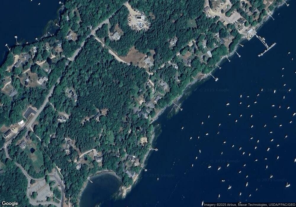
Map
Nearby Homes
- 83 Central Ave
- Map 80 Lot 18-0 White Island
- 0 Gundalo Gap Rd Unit 1638108
- 70 Maquoit Dr
- 371 Maquoit Rd
- 71 Merganser Way
- Lot 2B Allen Point Rd
- 52 Birch Point Rd
- 30 Driftwood Tide Ln
- 1 Mallard Pond Rd
- 5 Round Hill Ln
- 60 Pleasant Hill Rd
- 46 Casco Rd
- Lot 13B Pleasant Hill Rd
- 2 Remington Way
- 250 Mere Point Rd
- 36 Jewell St
- 14 Circus
- 28 Lynch St
- 6 Miranda St
- 31 & 34 Windemere Rd
- 31 Windemere Rd
- 39 Windemere Rd
- 34 Windemere Rd
- 28 Windemere Rd
- 27 Windemere Rd
- 40 Sandpiper Ln
- 7 Gallows Island Rd
- 7 Gallows Island Rd Unit 1
- 21 Windemere Rd
- 15 Sandpiper Ln
- 12 Eastern Shore Rd Unit 1
- 12 Eastern Shore Rd
- 22 Sandpiper Ln
- 36 Sandpiper Ln
- 30 Sandpiper Ln
- 16 Eastern Shore Rd Unit 2
- 15 Eastern Shore Rd
- 18 Eastern Shore Rd
- 1133 Mere Point Rd
Your Personal Tour Guide
Ask me questions while you tour the home.