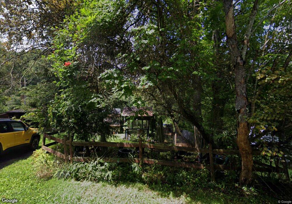
350 Addison Rd Cedar Bluff, VA 24609
3
Beds
2
Baths
1,650
Sq Ft
387,684
Sq Ft Lot
About This Home
This home is located at 350 Addison Rd, Cedar Bluff, VA 24609. 350 Addison Rd is a home located in Tazewell County with nearby schools including Richlands Christian Academy and First Apostolic Christian.
Create a Home Valuation Report for This Property
The Home Valuation Report is an in-depth analysis detailing your home's value as well as a comparison with similar homes in the area
Tax History
| Year | Tax Paid | Tax Assessment Tax Assessment Total Assessment is a certain percentage of the fair market value that is determined by local assessors to be the total taxable value of land and additions on the property. | Land | Improvement |
|---|---|---|---|---|
| 2025 | $340 | $58,600 | $38,400 | $20,200 |
| 2023 | $122 | $21,000 | $11,400 | $9,600 |
| 2022 | $878 | $151,300 | $11,200 | $140,100 |
| 2021 | $878 | $151,300 | $11,200 | $140,100 |
| 2020 | $863 | $148,800 | $11,200 | $137,600 |
| 2019 | $863 | $148,800 | $11,200 | $137,600 |
| 2018 | $849 | $148,800 | $11,200 | $137,600 |
| 2017 | $849 | $154,400 | $11,200 | $143,200 |
| 2016 | -- | $154,400 | $11,200 | $143,200 |
| 2015 | -- | $154,400 | $11,200 | $143,200 |
| 2014 | -- | $154,400 | $11,200 | $143,200 |
| 2013 | -- | $154,400 | $11,200 | $143,200 |
Source: Public Records
Map
Nearby Homes
- 392 Addison Rd
- 343 Addison Rd
- 256 Addison Rd
- 243 Skylark Dr
- 315 Addison Rd
- 206 Addison Rd
- 175 Addison Rd
- 112 Fouch Rd
- 2314 Kents Ridge Rd
- 156 Skylark Dr
- 280 Sagewood Dr
- 108 Newberry Rd
- 115 Fouch Rd
- 2276 Kents Ridge Rd
- 288 Sagewood Dr
- 140 Fouch Rd
- 256 Fouch Rd
- 246 Sagewood Dr
- 2320 Kents Ridge Rd
- 272 Newberry Rd
Your Personal Tour Guide
Ask me questions while you tour the home.