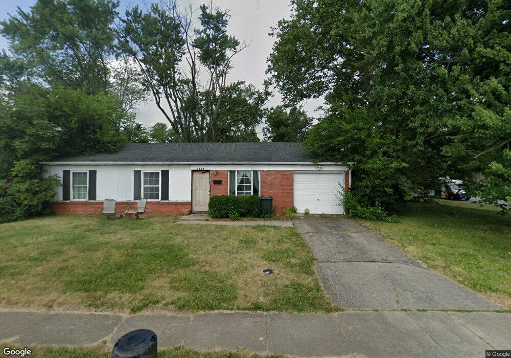
3502 Springdale Rd Cincinnati, OH 45251
Northgate NeighborhoodEstimated Value: $159,000 - $180,813
3
Beds
2
Baths
1,227
Sq Ft
$136/Sq Ft
Est. Value
About This Home
This home is located at 3502 Springdale Rd, Cincinnati, OH 45251 and is currently estimated at $166,453, approximately $135 per square foot. 3502 Springdale Rd is a home located in Hamilton County with nearby schools including Colerain Elementary School, Colerain Middle School, and Colerain High School.
Ownership History
Date
Name
Owned For
Owner Type
Purchase Details
Closed on
Feb 27, 2004
Sold by
Smith Dorothy
Bought by
Randolph Gary S
Current Estimated Value
Home Financials for this Owner
Home Financials are based on the most recent Mortgage that was taken out on this home.
Original Mortgage
$84,233
Outstanding Balance
$38,262
Interest Rate
5.71%
Mortgage Type
FHA
Estimated Equity
$128,191
Purchase Details
Closed on
Feb 26, 2003
Sold by
Louis Smith Carl and Louis Janis
Bought by
Smith Dorothy
Purchase Details
Closed on
Oct 17, 1996
Sold by
Smith Dorothy
Bought by
Smith Carl Louis and Buckner Janis
Create a Home Valuation Report for This Property
The Home Valuation Report is an in-depth analysis detailing your home's value as well as a comparison with similar homes in the area
Home Values in the Area
Average Home Value in this Area
Purchase History
| Date | Buyer | Sale Price | Title Company |
|---|---|---|---|
| Randolph Gary S | $84,900 | Advanced Land Title Agency | |
| Smith Dorothy | -- | -- | |
| Smith Carl Louis | -- | -- |
Source: Public Records
Mortgage History
| Date | Status | Borrower | Loan Amount |
|---|---|---|---|
| Open | Randolph Gary S | $84,233 |
Source: Public Records
Tax History
| Year | Tax Paid | Tax Assessment Tax Assessment Total Assessment is a certain percentage of the fair market value that is determined by local assessors to be the total taxable value of land and additions on the property. | Land | Improvement |
|---|---|---|---|---|
| 2025 | $2,503 | $41,801 | $9,569 | $32,232 |
| 2023 | $2,350 | $41,801 | $9,569 | $32,232 |
| 2022 | $1,724 | $24,963 | $8,439 | $16,524 |
| 2021 | $1,739 | $24,963 | $8,439 | $16,524 |
| 2020 | $1,718 | $24,963 | $8,439 | $16,524 |
| 2019 | $1,496 | $20,129 | $6,804 | $13,325 |
| 2018 | $1,348 | $20,129 | $6,804 | $13,325 |
| 2017 | $1,297 | $20,129 | $6,804 | $13,325 |
| 2016 | $1,474 | $22,401 | $6,871 | $15,530 |
| 2015 | $1,467 | $22,401 | $6,871 | $15,530 |
| 2014 | $1,472 | $22,401 | $6,871 | $15,530 |
| 2013 | $1,477 | $23,580 | $7,231 | $16,349 |
Source: Public Records
Map
Nearby Homes
- 3420 Grovewood Dr
- 9862 Dunlap Dr
- 9821 Mel Carl Dr
- 9809 Mel Carl Dr
- 3419 Niagara St
- 9917 Capstan Dr
- 9952 Capstan Dr
- 3252 Deshler Dr
- 3287 Niagara St
- 3724 Yellowstone Dr
- 3215 Orangeburg Ct
- 9642 Crosley Farm Dr
- 3250 Springdale Rd
- 9620 Crosley Farm Dr
- 3225 Heritage Square Dr
- 10092 Windswept Ln
- 9710 Loralinda Dr
- 3834 Enterprise Cir
- 9503 Haddington Ct
- 3364 Amberway Ct Unit 45
- 3502 Niagara St
- 3486 Springdale Rd
- 3506 Niagara St
- 3480 Springdale Rd
- 2296 Niagara St
- 3510 Niagara St
- 3507 Niagara St
- 9823 Capstan Dr
- 3514 Niagara St
- 9831 Capstan Dr
- 3511 Niagara St
- 3498 Niagara St
- 3481 Springdale Rd
- 3485 Springdale Rd
- 3515 Niagara St
- 3475 Springdale Rd
- 9839 Capstan Dr
- 9824 Capstan Dr
- 3518 Niagara St
- 3489 Alamosa Dr
Your Personal Tour Guide
Ask me questions while you tour the home.