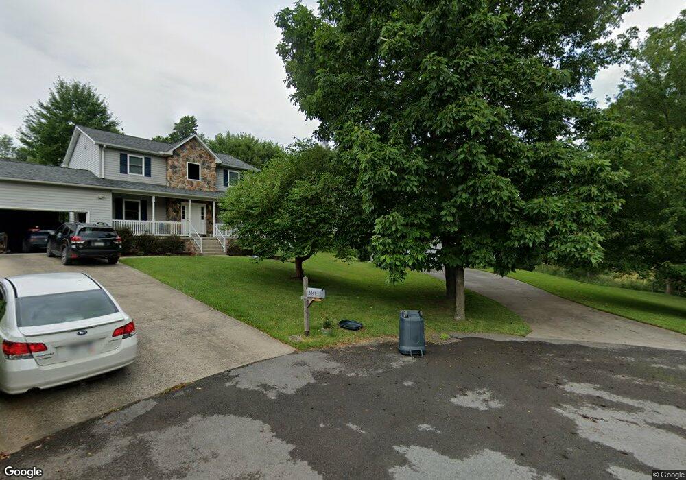
3509 Maple Ct Morgantown, WV 26508
Brookhaven NeighborhoodEstimated Value: $396,000 - $478,000
4
Beds
3
Baths
3,060
Sq Ft
$145/Sq Ft
Est. Value
About This Home
This home is located at 3509 Maple Ct, Morgantown, WV 26508 and is currently estimated at $444,148, approximately $145 per square foot. 3509 Maple Ct is a home located in Monongalia County with nearby schools including Cheat Lake Elementary School, Mountaineer Middle School, and University High School.
Ownership History
Date
Name
Owned For
Owner Type
Purchase Details
Closed on
Jul 30, 2008
Sold by
Gordon Paul M and Gordon Ina C
Bought by
Sampson Matthew R and Sampson Elaine
Current Estimated Value
Home Financials for this Owner
Home Financials are based on the most recent Mortgage that was taken out on this home.
Original Mortgage
$232,000
Outstanding Balance
$148,493
Interest Rate
6%
Mortgage Type
Adjustable Rate Mortgage/ARM
Estimated Equity
$295,655
Create a Home Valuation Report for This Property
The Home Valuation Report is an in-depth analysis detailing your home's value as well as a comparison with similar homes in the area
Home Values in the Area
Average Home Value in this Area
Purchase History
| Date | Buyer | Sale Price | Title Company |
|---|---|---|---|
| Sampson Matthew R | $290,000 | None Available |
Source: Public Records
Mortgage History
| Date | Status | Borrower | Loan Amount |
|---|---|---|---|
| Open | Sampson Matthew R | $232,000 |
Source: Public Records
Tax History
| Year | Tax Paid | Tax Assessment Tax Assessment Total Assessment is a certain percentage of the fair market value that is determined by local assessors to be the total taxable value of land and additions on the property. | Land | Improvement |
|---|---|---|---|---|
| 2025 | $2,124 | $198,780 | $52,140 | $146,640 |
| 2024 | $2,124 | $196,920 | $61,680 | $135,240 |
| 2023 | $2,098 | $196,920 | $61,680 | $135,240 |
| 2022 | $1,993 | $194,460 | $61,680 | $132,780 |
| 2021 | $1,878 | $182,400 | $61,680 | $120,720 |
| 2020 | $1,887 | $182,400 | $61,680 | $120,720 |
| 2019 | $1,914 | $183,720 | $61,680 | $122,040 |
| 2018 | $1,920 | $183,720 | $61,680 | $122,040 |
| 2017 | $1,907 | $181,560 | $58,200 | $123,360 |
| 2016 | $1,874 | $177,300 | $53,940 | $123,360 |
| 2015 | $1,766 | $174,720 | $49,980 | $124,740 |
| 2014 | $1,697 | $176,040 | $47,940 | $128,100 |
Source: Public Records
Map
Nearby Homes
- 3110 Sylvan Dr
- N-2 Lemley St
- N-1 Lemley St
- B-5R Meadowland Dr
- B7-R Meadowland Dr
- 142 Vecchio Ln
- 308 Salonika Dr
- 313 Salonika Dr
- 323 Salonika Dr
- 108 Brookdale Dr
- 119 Brookdale Dr
- 1446 Brookhaven Rd
- 1229 Kings Rd
- 304 Salonika Dr
- 0 S Pierpont Rd
- Lot 5 Farrmers Market Rd
- Lot 6 Farmers Market Rd
- Lot 4 Farrmers Market Rd
- Lot 62 Sanctuary Cove
- 56 Windermere Ln
Your Personal Tour Guide
Ask me questions while you tour the home.