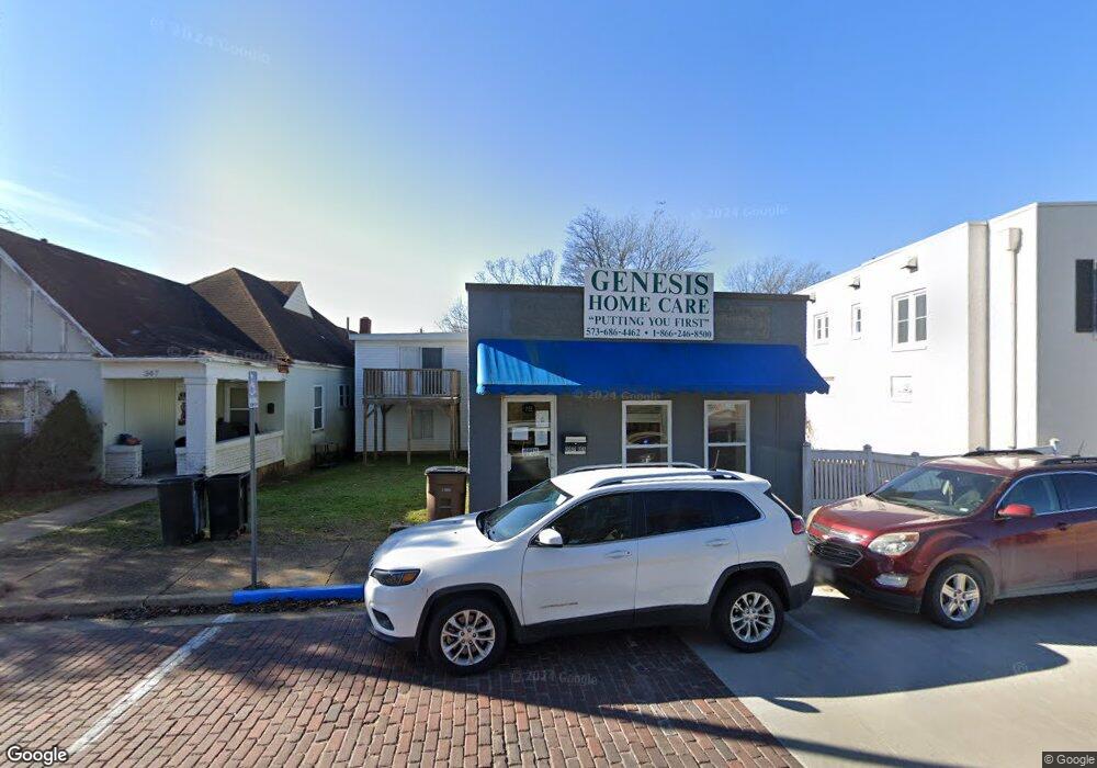
351 N Main St Poplar Bluff, MO 63901
Estimated Value: $116,926
Studio
--
Bath
1,981
Sq Ft
$59/Sq Ft
Est. Value
About This Home
This home is located at 351 N Main St, Poplar Bluff, MO 63901 and is currently priced at $116,926, approximately $59 per square foot. 351 N Main St is a home located in Butler County with nearby schools including Poplar Bluff Fifth & Sixth Grade Center, Lake Road Elementary School, and Poplar Bluff Junior High School.
Ownership History
Date
Name
Owned For
Owner Type
Purchase Details
Closed on
Feb 16, 2016
Sold by
Ernest David and Ernest Lisa
Bought by
Brittingham Rick D and Brittingham Mary Katherine
Current Estimated Value
Home Financials for this Owner
Home Financials are based on the most recent Mortgage that was taken out on this home.
Original Mortgage
$211,000
Interest Rate
3.97%
Mortgage Type
Future Advance Clause Open End Mortgage
Purchase Details
Closed on
Mar 19, 2007
Sold by
Jaco Daniel M and Jaco Shirley A
Bought by
Ernest David and Ernest Lisa
Home Financials for this Owner
Home Financials are based on the most recent Mortgage that was taken out on this home.
Original Mortgage
$77,995
Interest Rate
6.3%
Mortgage Type
Future Advance Clause Open End Mortgage
Purchase Details
Closed on
Dec 28, 2006
Sold by
Scott L Joe and Scott Judith W
Bought by
Jaco Daniel M and Jaco Shirley A
Create a Home Valuation Report for This Property
The Home Valuation Report is an in-depth analysis detailing your home's value as well as a comparison with similar homes in the area
Home Values in the Area
Average Home Value in this Area
Purchase History
| Date | Buyer | Sale Price | Title Company |
|---|---|---|---|
| Brittingham Rick D | -- | None Available | |
| Ernest David | -- | -- | |
| Jaco Daniel M | -- | -- |
Source: Public Records
Mortgage History
| Date | Status | Borrower | Loan Amount |
|---|---|---|---|
| Closed | Brittingham Rick D | $211,000 | |
| Previous Owner | Ernest David | $77,995 |
Source: Public Records
Tax History
| Year | Tax Paid | Tax Assessment Tax Assessment Total Assessment is a certain percentage of the fair market value that is determined by local assessors to be the total taxable value of land and additions on the property. | Land | Improvement |
|---|---|---|---|---|
| 2025 | $582 | $11,780 | $0 | $0 |
| 2024 | $6 | $10,900 | $0 | $0 |
| 2023 | $551 | $10,900 | $0 | $0 |
| 2022 | $499 | $9,900 | $0 | $0 |
| 2021 | $499 | $9,900 | $0 | $0 |
| 2020 | $506 | $9,900 | $0 | $0 |
| 2019 | $506 | $9,900 | $0 | $0 |
| 2018 | $506 | $9,900 | $0 | $0 |
| 2017 | -- | $9,900 | $0 | $0 |
| 2016 | -- | $9,900 | $0 | $0 |
| 2015 | -- | $9,900 | $0 | $0 |
| 2014 | -- | $9,250 | $0 | $0 |
| 2012 | $414 | $9,250 | $0 | $0 |
Source: Public Records
Map
Nearby Homes
- 347 N Main St
- 320 N Broadway St
- 331 N Main St
- 346 N Main St
- 339 N Broadway St
- 313 N Broadway St
- 332 N Main St
- 315 N Broadway St
- 412 Lester St
- 411 N Main St
- 406 N Main St
- 425 Short Oak
- 415 N Main St
- 14679 Highway Pp
- 14679 Highway Pp
- 412 N Main St
- 367 College St
- 303 N Broadway St
- 244 College St
- 609 Lindsay Ave
Your Personal Tour Guide
Ask me questions while you tour the home.