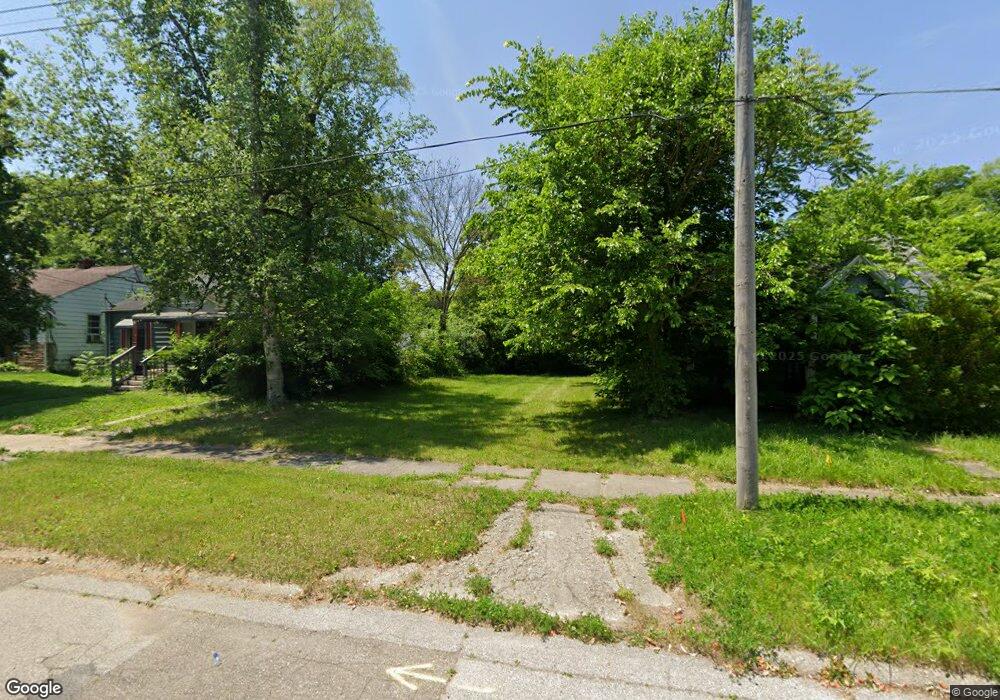
3517 Trumbull Ave Flint, MI 48504
Merill NeighborhoodEstimated Value: $12,094 - $115,000
2
Beds
1
Bath
735
Sq Ft
$101/Sq Ft
Est. Value
About This Home
This home is located at 3517 Trumbull Ave, Flint, MI 48504 and is currently estimated at $74,024, approximately $100 per square foot. 3517 Trumbull Ave is a home located in Genesee County with nearby schools including Brownell STEM Academy, Greater Heights Academy, and Eagle's Nest Academy.
Ownership History
Date
Name
Owned For
Owner Type
Purchase Details
Closed on
Jul 20, 2020
Sold by
Genessee County Land Bank Authority
Bought by
Mitchell Willie
Current Estimated Value
Purchase Details
Closed on
Dec 20, 2013
Sold by
Genesee County Treasurer
Bought by
Genesee County Land Bank
Purchase Details
Closed on
Dec 30, 2002
Sold by
Adams Kelvin and Adams Kelvin B
Bought by
Adams Michael A
Purchase Details
Closed on
Jun 12, 2002
Sold by
Hull Lamar
Bought by
Bank Of New York
Purchase Details
Closed on
Mar 2, 2001
Sold by
Thomas Connie Elaine and Thomas Connie
Bought by
Adams Kelvin
Purchase Details
Closed on
Feb 26, 2001
Sold by
Hull Lamar L
Bought by
Thomas Connie Elaine and Thomas Connie
Create a Home Valuation Report for This Property
The Home Valuation Report is an in-depth analysis detailing your home's value as well as a comparison with similar homes in the area
Home Values in the Area
Average Home Value in this Area
Purchase History
| Date | Buyer | Sale Price | Title Company |
|---|---|---|---|
| Mitchell Willie | $250 | None Available | |
| Genesee County Land Bank | -- | None Available | |
| Adams Michael A | $25,000 | Fidelity National Title Ins | |
| Bank Of New York | $48,069 | -- | |
| Adams Kelvin | $9,000 | Guaranty Title Company | |
| Thomas Connie Elaine | -- | Guaranty Title Company |
Source: Public Records
Tax History
| Year | Tax Paid | Tax Assessment Tax Assessment Total Assessment is a certain percentage of the fair market value that is determined by local assessors to be the total taxable value of land and additions on the property. | Land | Improvement |
|---|---|---|---|---|
| 2025 | $172 | $2,400 | $0 | $0 |
| 2024 | $162 | $2,000 | $0 | $0 |
| 2023 | $168 | $1,800 | $0 | $0 |
| 2022 | $0 | $1,400 | $0 | $0 |
| 2021 | $101 | $1,400 | $0 | $0 |
| 2020 | $0 | $0 | $0 | $0 |
| 2019 | $0 | $0 | $0 | $0 |
| 2018 | $0 | $0 | $0 | $0 |
| 2017 | $0 | $0 | $0 | $0 |
| 2016 | $0 | $0 | $0 | $0 |
| 2015 | -- | $0 | $0 | $0 |
| 2014 | -- | $0 | $0 | $0 |
| 2012 | -- | $2,500 | $0 | $0 |
Source: Public Records
Map
Nearby Homes
- 3517 Leerda St
- 3505 Leerda St
- 3413 Leerda St
- 3506 Brownell Blvd
- 3808 Comstock Ave
- 3218 Trumbull Ave
- 3918 Trumbull Ave
- 3710 Kellar Ave
- 3101 Brynmawr Place
- 3617 Kellar Ave
- 3722 Sterling St
- 4008 Winona St
- 4110 Leerda St
- 2907 Trumbull Ave
- 4013 Sterling St
- 3022 Seneca St
- 3001 Kellar Ave
- 1402 W Dartmouth St
- 1521 W Dartmouth St
- 3207 Milbourne Ave
- 3601 Trumbull Ave
- 3513 Trumbull Ave
- 3509 Trumbull Ave
- 3605 Trumbull Ave
- 3514 Leerda St
- 3602 Leerda St
- 3609 Trumbull Ave
- 3606 Leerda St
- 3510 Leerda St
- 3518 Trumbull Ave
- 3602 Trumbull Ave
- 3514 Trumbull Ave
- 3613 Trumbull Ave
- 3610 Leerda St
- 3506 Leerda St
- 3510 Trumbull Ave
- 3606 Trumbull Ave
- 3506 Trumbull Ave
- 3614 Leerda St
- 3617 Trumbull Ave
Your Personal Tour Guide
Ask me questions while you tour the home.