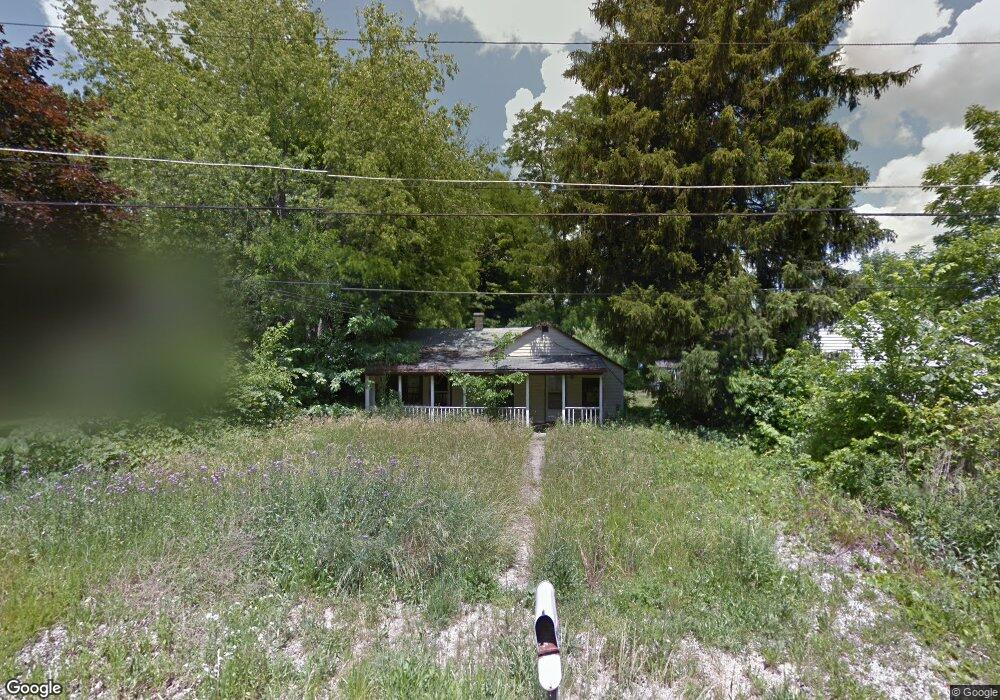
352 Harding Rd Mansfield, OH 44906
Estimated Value: $84,000 - $149,000
2
Beds
1
Bath
1,216
Sq Ft
$96/Sq Ft
Est. Value
About This Home
This home is located at 352 Harding Rd, Mansfield, OH 44906 and is currently estimated at $116,500, approximately $95 per square foot. 352 Harding Rd is a home located in Richland County with nearby schools including Foundation Academy, Mansfield Elective Academy, and Interactive Media & Construction (IMAC) Academy.
Ownership History
Date
Name
Owned For
Owner Type
Purchase Details
Closed on
Nov 1, 2018
Sold by
Tarris Rodney G and Tarris Jessica L
Bought by
Chickering Deborah J and Chickering Wayne E
Current Estimated Value
Home Financials for this Owner
Home Financials are based on the most recent Mortgage that was taken out on this home.
Original Mortgage
$53,021
Outstanding Balance
$46,293
Interest Rate
5.12%
Mortgage Type
FHA
Estimated Equity
$70,207
Purchase Details
Closed on
Dec 22, 2015
Sold by
Lyons Matthew L and Lyons Kristina L
Bought by
Tarris Rodney G and Tarris Jessica L
Purchase Details
Closed on
Jul 15, 2014
Sold by
Estate Of Gerald E Hinton
Bought by
Lyons Matthew L
Create a Home Valuation Report for This Property
The Home Valuation Report is an in-depth analysis detailing your home's value as well as a comparison with similar homes in the area
Home Values in the Area
Average Home Value in this Area
Purchase History
We collect this data history from publicly available records. To have your information removed, we recommend requesting removal directly through your county’s website.
| Date | Buyer | Sale Price | Title Company |
|---|---|---|---|
| Chickering Deborah J | $54,000 | Amrock Inc | |
| Tarris Rodney G | $1,000 | None Available | |
| Lyons Matthew L | $2,543 | Attorney |
Source: Public Records
Mortgage History
We collect this data history from publicly available records. To have your information removed, we recommend requesting removal directly through your county’s website.
| Date | Status | Borrower | Loan Amount |
|---|---|---|---|
| Open | Chickering Deborah J | $53,021 |
Source: Public Records
Tax History
| Year | Tax Paid | Tax Assessment Tax Assessment Total Assessment is a certain percentage of the fair market value that is determined by local assessors to be the total taxable value of land and additions on the property. | Land | Improvement |
|---|---|---|---|---|
| 2025 | -- | $0 | $0 | $0 |
| 2024 | -- | $0 | $0 | $0 |
| 2023 | $0 | $0 | $0 | $0 |
| 2022 | $109 | $0 | $0 | $0 |
| 2021 | $109 | $0 | $0 | $0 |
| 2020 | $0 | $0 | $0 | $0 |
| 2019 | $109 | $0 | $0 | $0 |
| 2018 | $109 | $1,700 | $1,640 | $60 |
| 2017 | $83 | $1,700 | $1,640 | $60 |
| 2016 | $59 | $910 | $660 | $250 |
| 2015 | $56 | $910 | $660 | $250 |
| 2014 | $582 | $9,570 | $1,950 | $7,620 |
| 2012 | $457 | $10,070 | $2,050 | $8,020 |
Source: Public Records
Map
Nearby Homes
- 1176 Dillon Rd
- 1184 Dillon Rd
- 1254 Crandal Rd
- 630 Hanna Rd
- 640 Hanna Rd
- 1210 Boyle Rd
- 1082 Country Club Dr
- 0 Highway 30
- 655 Bowman St
- 891 Springmill Rd
- 1501 Bowman St
- 981 Benedict Ave
- 0 Grant Rd Unit 5190994
- 516 Burns St
- 964 Fairfax Ave
- 118 Raymond Ave
- 933 Fairfax Ave
- 495 Johns Ave
- 580 N Mulberry St
- 524 Lida St
Your Personal Tour Guide
Ask me questions while you tour the home.