Estimated Value: $422,521 - $473,000
3
Beds
3
Baths
2,488
Sq Ft
$181/Sq Ft
Est. Value
About This Home
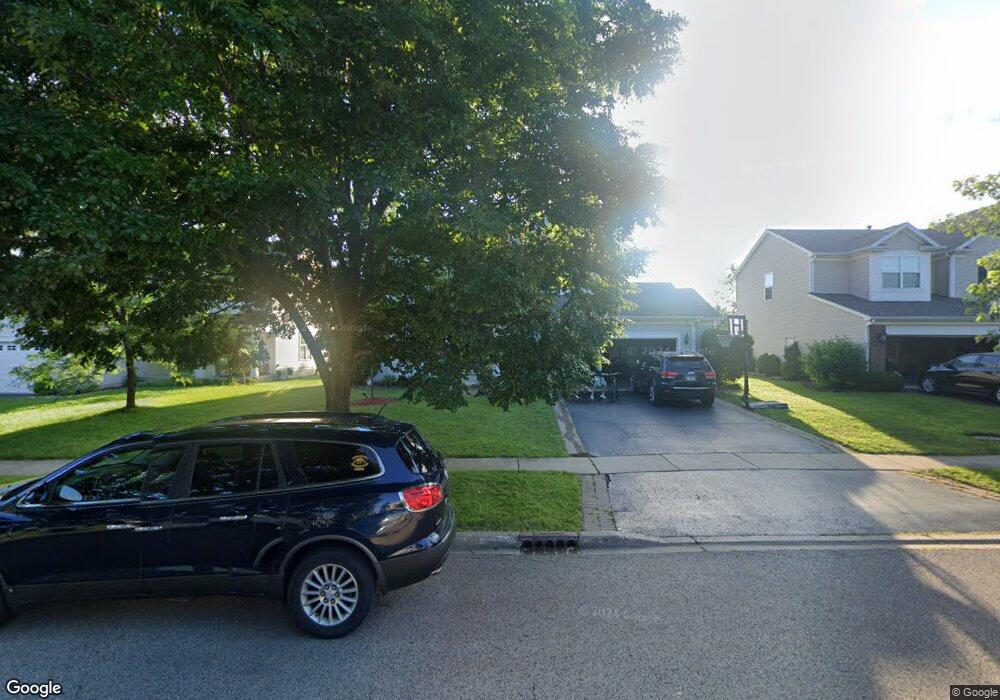
This home is located at 352 Toccoa Ln, Volo, IL 60073 and is currently estimated at $451,380, approximately $181 per square foot. 352 Toccoa Ln is a home located in Lake County with nearby schools including Robert Crown School, Wauconda Middle School, and Wauconda High School.
Ownership History
Date
Name
Owned For
Owner Type
Purchase Details
Closed on
Mar 13, 2007
Sold by
The Ryland Group Inc
Bought by
Rowe Jonathan and Rowe Jennifer
Current Estimated Value
Home Financials for this Owner
Home Financials are based on the most recent Mortgage that was taken out on this home.
Original Mortgage
$305,619
Outstanding Balance
$185,493
Interest Rate
6.31%
Mortgage Type
Purchase Money Mortgage
Estimated Equity
$265,887
Create a Home Valuation Report for This Property
The Home Valuation Report is an in-depth analysis detailing your home's value as well as a comparison with similar homes in the area
Home Values in the Area
Average Home Value in this Area
Purchase History
| Date | Buyer | Sale Price | Title Company |
|---|---|---|---|
| Rowe Jonathan | $382,500 | Ryland Title Company |
Source: Public Records
Mortgage History
| Date | Status | Borrower | Loan Amount |
|---|---|---|---|
| Open | Rowe Jonathan | $305,619 |
Source: Public Records
Tax History
| Year | Tax Paid | Tax Assessment Tax Assessment Total Assessment is a certain percentage of the fair market value that is determined by local assessors to be the total taxable value of land and additions on the property. | Land | Improvement |
|---|---|---|---|---|
| 2024 | $10,717 | $122,187 | $22,405 | $99,782 |
| 2023 | $10,482 | $111,688 | $20,480 | $91,208 |
| 2022 | $10,482 | $96,822 | $21,123 | $75,699 |
| 2021 | $10,223 | $91,488 | $19,959 | $71,529 |
| 2020 | $10,023 | $87,198 | $19,023 | $68,175 |
| 2019 | $9,047 | $82,410 | $17,978 | $64,432 |
| 2018 | $11,231 | $96,340 | $26,291 | $70,049 |
| 2017 | $11,272 | $95,226 | $25,987 | $69,239 |
| 2016 | $10,756 | $90,176 | $24,609 | $65,567 |
| 2015 | $8,720 | $82,784 | $22,592 | $60,192 |
| 2014 | $7,899 | $79,907 | $22,047 | $57,860 |
| 2012 | $7,696 | $81,242 | $21,093 | $60,149 |
Source: Public Records
Map
Nearby Homes
- 26222 W Belvidere Rd
- 683 Niagara Dr
- 796 Singing Hills Dr
- 851 Autumn Grove Ct
- 25651 Illinois 60
- 593 Treble Ln
- 569 Treble Ln
- 605 Treble Ln
- 984 Richard Brown Blvd
- 26222 Illinois 120
- 1085 Adagio Dr
- 27065-9 Illinois 120
- 30918 N US Highway 12
- 368 S Litchfield Dr
- 323 S Litchfield Dr
- 30351 N Us Highway 12
- 532 S Jade Ln
- 707 S Jade Ln Unit 404
- 551 S Jade Ln Unit 1206
- 2805 Cattail Ct Unit D
Your Personal Tour Guide
Ask me questions while you tour the home.