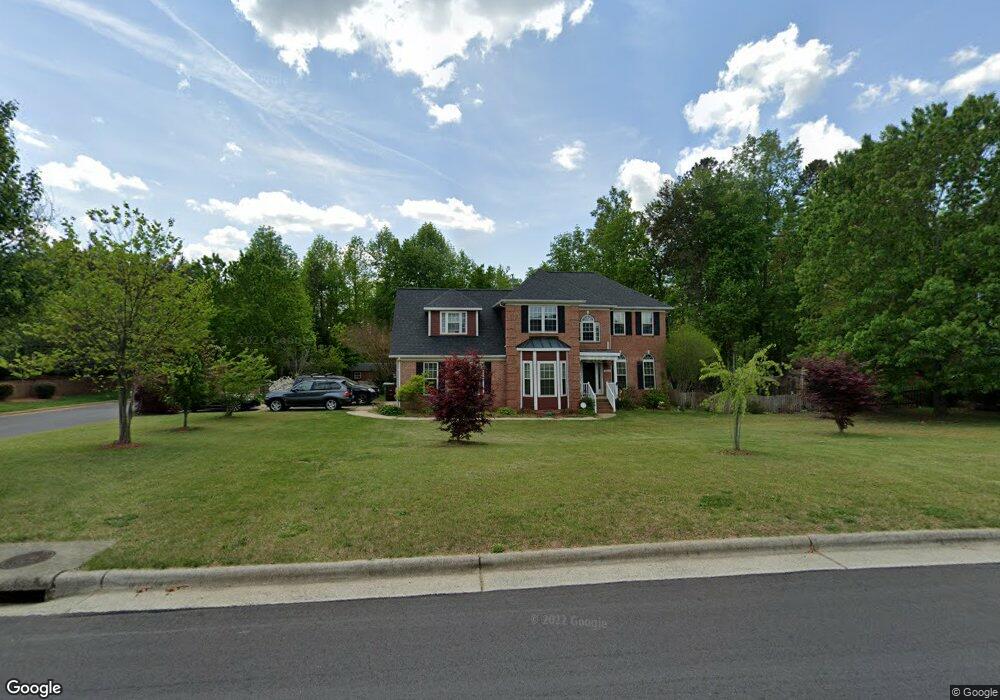
3520 Dairy Point Dr High Point, NC 27265
Sandy Ridge NeighborhoodEstimated Value: $394,000 - $521,000
About This Home
This home is located at 3520 Dairy Point Dr, High Point, NC 27265 and is currently estimated at $471,601, approximately $141 per square foot. 3520 Dairy Point Dr is a home located in Guilford County with nearby schools including Colfax Elementary School, Southwest Guilford Middle School, and Southwest Guilford High School.
Ownership History
We collect this data history from publicly available records. To have your information removed, we recommend requesting removal directly through your county’s website.
Purchase Details
Home Financials for this Owner
Home Financials are based on the most recent Mortgage that was taken out on this home.Purchase Details
Home Financials for this Owner
Home Financials are based on the most recent Mortgage that was taken out on this home.Purchase Details
Home Financials for this Owner
Home Financials are based on the most recent Mortgage that was taken out on this home.Home Values in the Area
Average Home Value in this Area
Purchase History
We collect this data history from publicly available records. To have your information removed, we recommend requesting removal directly through your county’s website.
| Date | Buyer | Sale Price | Title Company |
|---|---|---|---|
| $242,500 | None Available | ||
| $215,000 | -- | ||
| $259,000 | -- |
Mortgage History
We collect this data history from publicly available records. To have your information removed, we recommend requesting removal directly through your county’s website.
| Date | Status | Borrower | Loan Amount |
|---|---|---|---|
| Open | $242,050 | ||
| Previous Owner | $172,000 | ||
| Previous Owner | $200,000 | ||
| Closed | $43,000 |
Tax History
We collect this data history from publicly available records. To have your information removed, we recommend requesting removal directly through your county’s website.
| Year | Tax Paid | Tax Assessment Tax Assessment Total Assessment is a certain percentage of the fair market value that is determined by local assessors to be the total taxable value of land and additions on the property. | Land | Improvement |
|---|---|---|---|---|
| 2025 | $4,423 | $321,000 | $65,000 | $256,000 |
| 2024 | $4,423 | $321,000 | $65,000 | $256,000 |
| 2023 | $4,423 | $321,000 | $65,000 | $256,000 |
| 2022 | $4,327 | $321,000 | $65,000 | $256,000 |
| 2021 | $3,681 | $267,100 | $40,000 | $227,100 |
| 2020 | $3,681 | $267,100 | $40,000 | $227,100 |
| 2019 | $3,681 | $267,100 | $0 | $0 |
| 2018 | $3,662 | $267,100 | $0 | $0 |
| 2017 | $3,681 | $267,100 | $0 | $0 |
| 2016 | $3,665 | $261,300 | $0 | $0 |
| 2015 | $3,684 | $261,300 | $0 | $0 |
| 2014 | $3,747 | $261,300 | $0 | $0 |
Map
- 4615 Owls View Ct
- 8003 Clinard Farms Rd
- 8012 Tam Oshanter Dr
- 2138 Alamar Dr
- 1351 Grant Haven Ct
- 2158 Rosemont Dr
- 1247 Blackberry Ridge Rd
- 4743 Willowstone Dr
- 4737 Willowstone Dr
- 3617 Copper Ct
- 4715 Willowstone Dr
- 4713 Willowstone Dr
- 4722 Willowstone Dr
- 2275 Willard Dairy Rd
- 4714 Willowstone Dr
- 4712 Willowstone Dr
- 2460 Alderbrook Dr
- 748 Carneros Cir
- 2210 Starfall Dr
- 661 Nikyle Cir
- 3600 Dairy Point Dr
- 3516 Dairy Point Dr
- 4910 Kacey Elaine Ct
- 4911 Caitlin Nicole Ct
- 3604 Dairy Point Dr
- 3512 Dairy Point Dr
- 4914 Kacey Elaine Ct
- 3608 Dairy Point Dr
- 4911 Kacey Elaine Ct
- 4915 Caitlin Nicole Ct
- 4908 Erica Marie Ct
- 4904 Erica Marie Ct
- 4918 Kacey Elaine Ct
- 3612 Dairy Point Dr
- 4910 Caitlin Nicole Ct
- 3501 Dairy Point Dr
- 4915 Kacey Elaine Ct
- 4918 Caitlin Nicole Ct
- 3616 Dairy Point Dr
- 4914 Caitlin Nicole Ct
Ask me questions while you tour the home.