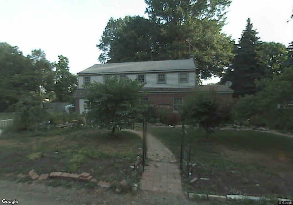
35250 Atlas St Romulus, MI 48174
Estimated Value: $190,000 - $271,000
3
Beds
2
Baths
2,127
Sq Ft
$105/Sq Ft
Est. Value
About This Home
This home is located at 35250 Atlas St, Romulus, MI 48174 and is currently estimated at $223,884, approximately $105 per square foot. 35250 Atlas St is a home located in Wayne County with nearby schools including Wick Elementary School, Romulus Middle School, and Romulus Senior High School.
Ownership History
Date
Name
Owned For
Owner Type
Purchase Details
Closed on
May 22, 2013
Sold by
Nichols Kimberly and Conradson Kimberly
Bought by
Nichols Donald and Nichols Kimberly
Current Estimated Value
Purchase Details
Closed on
Oct 21, 2008
Sold by
Conradson Gary L
Bought by
Conradson Kimberly
Purchase Details
Closed on
Nov 10, 2004
Sold by
Pfeiffer Jonathan
Bought by
Conradson Gary L
Home Financials for this Owner
Home Financials are based on the most recent Mortgage that was taken out on this home.
Original Mortgage
$140,400
Interest Rate
8.75%
Mortgage Type
New Conventional
Purchase Details
Closed on
Nov 30, 2001
Sold by
Pfeiffer Jonathan
Bought by
Conradson Gary
Purchase Details
Closed on
Aug 14, 2000
Sold by
Lambert Joseph
Bought by
Pfeiffer Jonathan
Purchase Details
Closed on
Dec 23, 1999
Sold by
Estate Of Hilda Kovach
Bought by
Lambert Sharalyn
Create a Home Valuation Report for This Property
The Home Valuation Report is an in-depth analysis detailing your home's value as well as a comparison with similar homes in the area
Home Values in the Area
Average Home Value in this Area
Purchase History
| Date | Buyer | Sale Price | Title Company |
|---|---|---|---|
| Nichols Donald | -- | None Available | |
| Conradson Kimberly | -- | None Available | |
| Conradson Gary L | -- | Devon Title | |
| Conradson Gary L | -- | Devon Title | |
| Conradson Gary | -- | -- | |
| Pfeiffer Jonathan | $127,000 | -- | |
| Lambert Sharalyn | $78,000 | -- |
Source: Public Records
Mortgage History
| Date | Status | Borrower | Loan Amount |
|---|---|---|---|
| Previous Owner | Conradson Gary L | $140,400 |
Source: Public Records
Tax History
| Year | Tax Paid | Tax Assessment Tax Assessment Total Assessment is a certain percentage of the fair market value that is determined by local assessors to be the total taxable value of land and additions on the property. | Land | Improvement |
|---|---|---|---|---|
| 2025 | $1,735 | $117,200 | $0 | $0 |
| 2024 | $1,767 | $92,800 | $0 | $0 |
| 2023 | $1,744 | $67,100 | $0 | $0 |
| 2022 | $2,017 | $63,800 | $0 | $0 |
| 2021 | $1,954 | $55,500 | $0 | $0 |
| 2020 | $1,907 | $57,900 | $0 | $0 |
| 2019 | $1,864 | $56,400 | $0 | $0 |
| 2018 | $1,211 | $31,500 | $0 | $0 |
| 2017 | $910 | $31,400 | $0 | $0 |
| 2016 | $1,648 | $32,000 | $0 | $0 |
| 2015 | $4,180 | $41,800 | $0 | $0 |
| 2013 | $4,520 | $47,700 | $0 | $0 |
| 2012 | $1,390 | $47,600 | $12,300 | $35,300 |
Source: Public Records
Map
Nearby Homes
- 35344 Ecorse Rd
- 8080 Wayne Rd
- 000 Waynecorse
- 35773 Surrey Ct
- 6505 Dexter St
- 35799 Park Place
- 0000 Park Place
- 36227 Vinewood St
- Lot 215 2nd St
- Lot 214 2nd St
- Lot 227 Dexter St
- 7063 Sargent St
- 6327 Hunt St
- 6130 Wayne Rd
- 000 Cincinnati St
- 6073 Biddle St
- 6071 Dexter St
- 6011 Washington St
- 37207 Ecorse Rd
- 9274 Chamberlain St
- 35234 Atlas St
- 35249 Atlas St
- 7309 Wayne Rd
- 7325 Wayne Rd
- 35220 Atlas St
- 7411 Wayne Rd
- 35229 Atlas St
- 35206 Atlas St
- 35235 Ecorse Rd
- 7423 Wayne Rd
- 7435 Wayne Rd
- VAC Washington St
- 7259 Washington St
- 7322 Wayne Rd
- 7350 Wayne Rd
- 35209 Ecorse Rd
- 7219 Washington St
- 7412 Wayne Rd
- 7308 Wayne Rd
- 7186 Wayne Rd
Your Personal Tour Guide
Ask me questions while you tour the home.