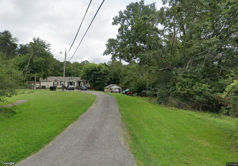
3528 Simsmore Ave Roanoke, VA 24014
Estimated Value: $326,000
Studio
--
Bath
--
Sq Ft
0.74
Acres Lot
About This Home
This home is located at 3528 Simsmore Ave, Roanoke, VA 24014 and is currently estimated at $326,000. 3528 Simsmore Ave is a home located in Roanoke County with nearby schools including Mt. Pleasant Elementary School, William Byrd Middle School, and William Byrd High School.
Ownership History
Date
Name
Owned For
Owner Type
Purchase Details
Closed on
Oct 6, 2017
Sold by
Deane Michael D and Deane Jennifer H
Bought by
Dustmat7 Llc
Current Estimated Value
Purchase Details
Closed on
Sep 23, 2010
Sold by
Deane Michael D and Deane Jennifer H
Bought by
Deane Michael D and Deane Jennifer H
Purchase Details
Closed on
Aug 20, 2010
Sold by
Hagen Rose
Bought by
Deane Michael D
Purchase Details
Closed on
Feb 8, 2005
Sold by
Washington Mutual Bank Fa
Bought by
Workman Kevin
Create a Home Valuation Report for This Property
The Home Valuation Report is an in-depth analysis detailing your home's value as well as a comparison with similar homes in the area
Purchase History
We collect this data history from publicly available records. To have your information removed, we recommend requesting removal directly through your county’s website.
| Date | Buyer | Sale Price | Title Company |
|---|---|---|---|
| Dustmat7 Llc | -- | None Available | |
| Deane Michael D | -- | Fidelity National Title Insu | |
| Deane Michael D | -- | Fidelity National Title Insu | |
| Deane Michael D | $86,200 | None Available | |
| Deane Michael D | -- | Fidelity National Title Insu | |
| Workman Kevin | $23,800 | None Available |
Source: Public Records
Tax History
| Year | Tax Paid | Tax Assessment Tax Assessment Total Assessment is a certain percentage of the fair market value that is determined by local assessors to be the total taxable value of land and additions on the property. | Land | Improvement |
|---|---|---|---|---|
| 2025 | $333 | $32,300 | $32,300 | $0 |
| 2024 | $336 | $32,300 | $32,300 | $0 |
| 2023 | $322 | $30,400 | $30,400 | $0 |
| 2022 | $331 | $30,400 | $30,400 | $0 |
| 2021 | $269 | $24,700 | $24,700 | $0 |
| 2020 | $269 | $24,700 | $24,700 | $0 |
| 2019 | $269 | $24,700 | $24,700 | $0 |
| 2018 | $269 | $24,700 | $24,700 | $0 |
| 2017 | $269 | $24,700 | $24,700 | $0 |
| 2016 | $269 | $24,700 | $24,700 | $0 |
| 2015 | $269 | $24,700 | $24,700 | $0 |
| 2014 | $259 | $23,800 | $23,800 | $0 |
Source: Public Records
Map
Nearby Homes
- 3630 Ballyhack Trail
- 3644 Ballyhack Trail
- 3625 Ballyhack Trail
- 3615 Ballyhack Trail
- 3592 Ballyhack Trail
- 3576 Ballyhack Trail
- 3540 Ballyhack Trail
- 3559 Ballyhack Trail
- 3520 Ballyhack Trail
- 3724 Ballyhack Trail
- 3537 Ballyhack Trail
- 3734 Ballyhack Trail
- 3527 Ballyhack Trail
- 3517 Ballyhack Trail
- 3754 Ballyhack Trail
- 2603 Rutrough Rd SE
- 3764 Ballyhack Trail
- 1602,1610 Rutrough Rd SE
- 3836 Ballyhack Trail
- 3846 Ballyhack Trail
- 3530 Simsmore Ave
- 3521 Simsmore Ave
- 3511 Simsmore Ave
- 3635 Ballyhack Trail
- 3645 Ballyhack Trail
- 2928 Rutrough Rd
- 3277 Randall Dr
- 3560 Ballyhack Trail
- 3455 Pitzer Rd
- 2771 Rutrough Rd
- 3585 Ballyhack Trail
- 3431 Pitzer Rd
- 3411 Pitzer Rd
- 3294 Pitzer Rd
- 2811 Rutrough Rd
- 2719 Rutrough Rd
- 3443 Pitzer Rd
- 3705 Ballyhack Trail
- 3303 Pitzer Rd
- 3279 Pitzer Rd
Your Personal Tour Guide
Ask me questions while you tour the home.