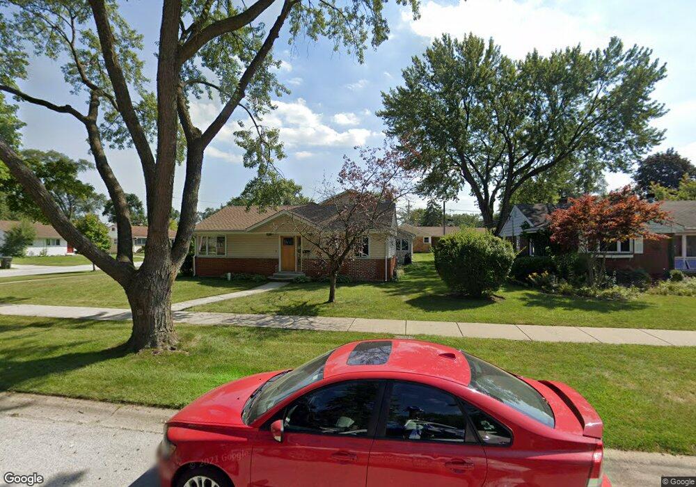
353 Davis Ct Des Plaines, IL 60016
Estimated Value: $525,000 - $677,000
5
Beds
3
Baths
3,176
Sq Ft
$193/Sq Ft
Est. Value
About This Home
This home is located at 353 Davis Ct, Des Plaines, IL 60016 and is currently estimated at $612,549, approximately $192 per square foot. 353 Davis Ct is a home located in Cook County with nearby schools including Terrace Elementary School, Chippewa Middle School, and Maine West High School.
Ownership History
Date
Name
Owned For
Owner Type
Purchase Details
Closed on
Dec 22, 1999
Sold by
Schwanke Clemens W
Bought by
Matthews Gary R and Matthews Kathryn M
Current Estimated Value
Home Financials for this Owner
Home Financials are based on the most recent Mortgage that was taken out on this home.
Original Mortgage
$100,001
Outstanding Balance
$29,510
Interest Rate
7.76%
Estimated Equity
$583,039
Create a Home Valuation Report for This Property
The Home Valuation Report is an in-depth analysis detailing your home's value as well as a comparison with similar homes in the area
Home Values in the Area
Average Home Value in this Area
Purchase History
| Date | Buyer | Sale Price | Title Company |
|---|---|---|---|
| Matthews Gary R | $180,000 | Ticor Title Insurance |
Source: Public Records
Mortgage History
| Date | Status | Borrower | Loan Amount |
|---|---|---|---|
| Open | Matthews Gary R | $100,001 |
Source: Public Records
Tax History
| Year | Tax Paid | Tax Assessment Tax Assessment Total Assessment is a certain percentage of the fair market value that is determined by local assessors to be the total taxable value of land and additions on the property. | Land | Improvement |
|---|---|---|---|---|
| 2025 | $11,609 | $61,000 | $10,557 | $50,443 |
| 2024 | $11,609 | $50,001 | $8,974 | $41,027 |
| 2023 | $11,281 | $50,001 | $8,974 | $41,027 |
| 2022 | $11,281 | $50,001 | $8,974 | $41,027 |
| 2021 | $10,495 | $40,138 | $7,389 | $32,749 |
| 2020 | $10,442 | $40,138 | $7,389 | $32,749 |
| 2019 | $10,476 | $45,099 | $7,389 | $37,710 |
| 2018 | $11,170 | $43,534 | $6,334 | $37,200 |
| 2017 | $11,005 | $43,534 | $6,334 | $37,200 |
| 2016 | $10,908 | $43,534 | $6,334 | $37,200 |
| 2015 | $10,374 | $36,940 | $5,542 | $31,398 |
| 2014 | $10,172 | $36,940 | $5,542 | $31,398 |
| 2013 | $9,901 | $36,940 | $5,542 | $31,398 |
Source: Public Records
Map
Nearby Homes
- 300 S Cumberland Pkwy
- 289 Oxford Rd
- 155 Cornell Ave
- 250 Anita St
- 43 Inner Circle Dr
- 321 Woodbridge St
- 19 Marina Dr
- 373 Woodbridge St
- 787 E Golf Rd
- 567 Bedford Ln
- 372 Stratford Rd
- 510 S Mount Prospect Rd
- 72 Nicholas Dr E
- 408 S Albert St
- 420 Radcliffe Ave
- 170 Westmere Rd
- 475 Amherst Ave
- 955 Rand Rd
- 890 North Ave
- 879 North Ave
- 343 Davis Ct
- 112 S Warrington Rd
- 333 Davis Ct
- 70 S Warrington Rd
- 122 S Warrington Rd
- 85 S Warrington Rd
- 107 S Warrington Rd
- 79 S Warrington Rd
- 336 E Golf Rd
- 322 Davis Ct
- 115 S Warrington Rd
- 71 S Warrington Rd
- 62 S Warrington Rd
- 317 Davis Ct
- 328 E Golf Rd
- 61 S Warrington Rd
- 65 S Meyer Ct
- 52 S Warrington Rd
- 309 Davis Ct
- 324 E Golf Rd
Your Personal Tour Guide
Ask me questions while you tour the home.