353 Hinkle Rd Ashland, PA 17921
Estimated Value: $183,000
3
Beds
1
Bath
1,800
Sq Ft
$102/Sq Ft
Est. Value
About This Home
This home is located at 353 Hinkle Rd, Ashland, PA 17921 and is currently estimated at $183,000, approximately $101 per square foot. 353 Hinkle Rd is a home located in Schuylkill County with nearby schools including Tri-Valley Junior/Senior High School.
Ownership History
Date
Name
Owned For
Owner Type
Purchase Details
Closed on
Apr 12, 2021
Sold by
Bernosky Carl and Bernosky Margaret
Bought by
Gnall Carlee Bernosky and Gnall Josh
Current Estimated Value
Purchase Details
Closed on
Jan 8, 2021
Sold by
Bernosky Carl
Bought by
Bernosky Carl and Bernosky Margaret
Purchase Details
Closed on
Dec 9, 2020
Sold by
Bernosky Carl and Estate Of Jean Bernosky & Yvon
Bought by
Bernosky Carl and Staskel Yvonne
Purchase Details
Closed on
Nov 20, 2010
Sold by
Hinkel Leroy M and Hinkel Isabel M
Bought by
Hinkel Doris A
Create a Home Valuation Report for This Property
The Home Valuation Report is an in-depth analysis detailing your home's value as well as a comparison with similar homes in the area
Home Values in the Area
Average Home Value in this Area
Purchase History
| Date | Buyer | Sale Price | Title Company |
|---|---|---|---|
| Gnall Carlee Bernosky | -- | None Available | |
| Bernosky Carl | -- | None Available | |
| Bernosky Carl | -- | None Available | |
| Hinkel Doris A | -- | None Available |
Source: Public Records
Tax History
| Year | Tax Paid | Tax Assessment Tax Assessment Total Assessment is a certain percentage of the fair market value that is determined by local assessors to be the total taxable value of land and additions on the property. | Land | Improvement |
|---|---|---|---|---|
| 2026 | $11,200 | $225,100 | $100,700 | $124,400 |
| 2025 | $602 | $9,070 | $6,580 | $2,490 |
| 2024 | $527 | $9,070 | $6,580 | $2,490 |
| 2023 | $508 | $3,080 | $590 | $2,490 |
| 2022 | $492 | $3,080 | $590 | $2,490 |
| 2021 | $525 | $3,260 | $785 | $2,475 |
| 2020 | $525 | $3,260 | $785 | $2,475 |
| 2018 | $504 | $9,970 | $7,495 | $2,475 |
| 2017 | $483 | $9,970 | $7,495 | $2,475 |
| 2015 | -- | $9,970 | $7,495 | $2,475 |
| 2011 | -- | $9,970 | $0 | $0 |
Source: Public Records
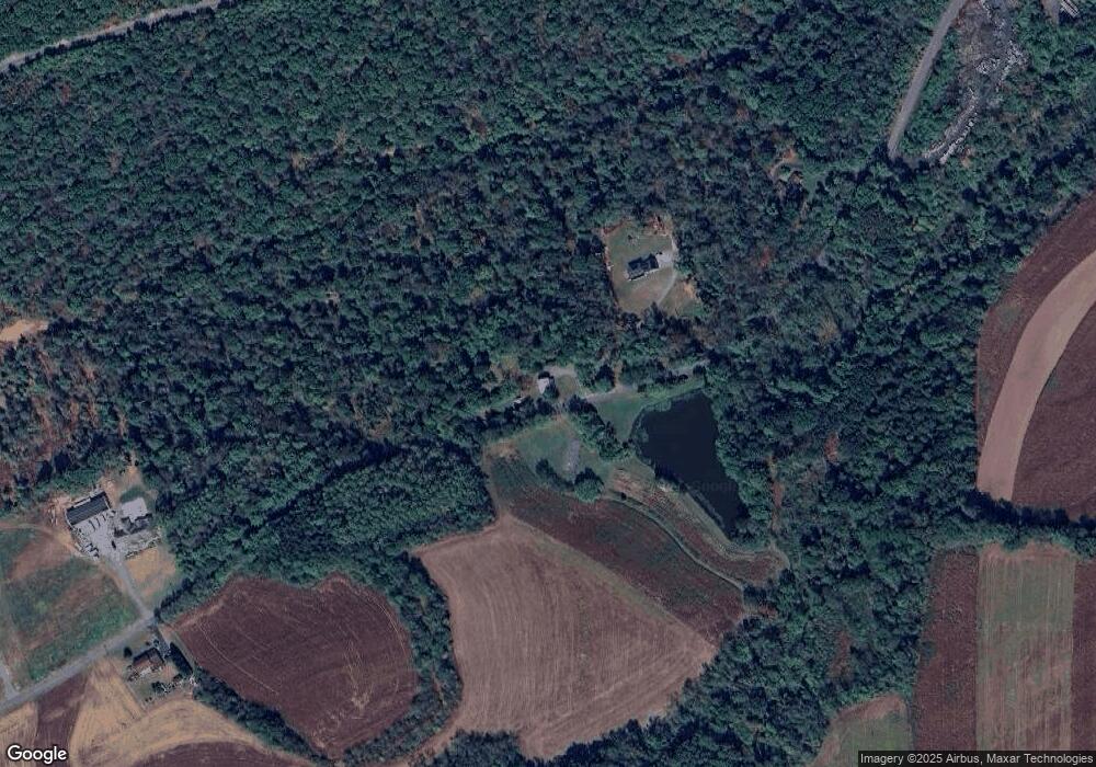
Map
Nearby Homes
- 391 Hinkle Rd
- 304 Hinkle Rd
- 287 Hinkle Rd
- 37 Wehry Ln
- 458 Hinkle Rd
- 0 Taylorsville Rd Unit 1005497754
- 0 Taylorsville Rd Unit 6704995
- 271 Hinkle Rd
- 447 Hinkle Rd
- 461 Hinkle Rd
- 1348 Taylorsville Rd
- 241 Airport Rd
- 35 Post Rd
- 1360 Taylorsville Rd
- 24 Post Rd
- 15 Black Creek Rd
- 22 Post Rd
- 1373 Deep Creek Rd
- 1366 Taylorsville Rd
- 1385 Deep Creek Rd
Your Personal Tour Guide
Ask me questions while you tour the home.