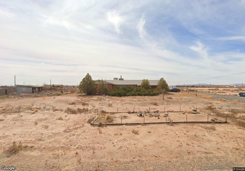
353 W McHood Rd Winslow, AZ 86047
Estimated Value: $272,751 - $362,000
Studio
--
Bath
2,160
Sq Ft
$141/Sq Ft
Est. Value
About This Home
This home is located at 353 W McHood Rd, Winslow, AZ 86047 and is currently estimated at $304,188, approximately $140 per square foot. 353 W McHood Rd is a home located in Navajo County with nearby schools including Winslow High School and Red Sands Christian School.
Ownership History
Date
Name
Owned For
Owner Type
Purchase Details
Closed on
Aug 20, 2012
Sold by
Moyers Bonnie Sue
Bought by
Moyers Bonnie Sue
Current Estimated Value
Home Financials for this Owner
Home Financials are based on the most recent Mortgage that was taken out on this home.
Original Mortgage
$50,000
Interest Rate
3.53%
Mortgage Type
New Conventional
Purchase Details
Closed on
Dec 28, 2007
Sold by
Moyers William L and Moyers Bonnie Sue
Bought by
Moyers William L and Moyers Bonnie Sue
Create a Home Valuation Report for This Property
The Home Valuation Report is an in-depth analysis detailing your home's value as well as a comparison with similar homes in the area
Purchase History
| Date | Buyer | Sale Price | Title Company |
|---|---|---|---|
| Moyers Bonnie Sue | -- | Accommodation | |
| Moyers William L | -- | None Available |
Source: Public Records
Mortgage History
| Date | Status | Borrower | Loan Amount |
|---|---|---|---|
| Closed | Moyers Bonnie Sue | $50,000 |
Source: Public Records
Tax History
| Year | Tax Paid | Tax Assessment Tax Assessment Total Assessment is a certain percentage of the fair market value that is determined by local assessors to be the total taxable value of land and additions on the property. | Land | Improvement |
|---|---|---|---|---|
| 2026 | $588 | -- | -- | -- |
| 2025 | $558 | $18,815 | $704 | $18,111 |
| 2024 | $530 | $17,201 | $947 | $16,254 |
| 2023 | $558 | $12,190 | $867 | $11,323 |
| 2022 | $530 | $0 | $0 | $0 |
| 2021 | $538 | $0 | $0 | $0 |
| 2020 | $522 | $0 | $0 | $0 |
| 2019 | $503 | $0 | $0 | $0 |
| 2018 | $479 | $0 | $0 | $0 |
| 2017 | $484 | $0 | $0 | $0 |
| 2016 | $523 | $0 | $0 | $0 |
| 2015 | $563 | $6,182 | $597 | $5,585 |
Source: Public Records
Map
Nearby Homes
- 552 W Mountain View St
- 01 Santa fe Dr
- 02 Santa fe Dr
- 03 Santa fe Dr
- 1889 North Rd
- 201 Papago Blvd
- 806 W Henderson St
- 204 W Gilmore St
- 511 W Gilmore St
- 1966 Round House Dr
- 2080 Round House Dr
- 901 N Prairie Ave
- 1498 N Prairie Ave
- 901 N Warren Ave
- 1011 N Apache Ave
- 1950 W 3rd St
- 1105 W 3rd St
- 3001 Mountain Dr
- 1980 W Third St
- 810 N Williamson Ave
- 253 McHood Rd
- 430 W McHood Rd
- 452 W Mountain View St
- 352 W McHood Rd
- 453 Mountain View St
- 478 W McHood Rd
- 152 E Mountain View Rd
- 353 W Mountain View St
- 152 W McHood Rd
- 522 W Mountain View St
- 553 W McHood Rd
- 553 W Mountain View St
- 550 W McHood Rd
- 648 W McHood Rd
- 5270 N Park Dr
- 5490 N Park Dr
- 352 W Butte View
- 352 W Butte View Unit 33
- 5069 N Williamson Ave
- 352 Butte View Rd Unit 33
Your Personal Tour Guide
Ask me questions while you tour the home.