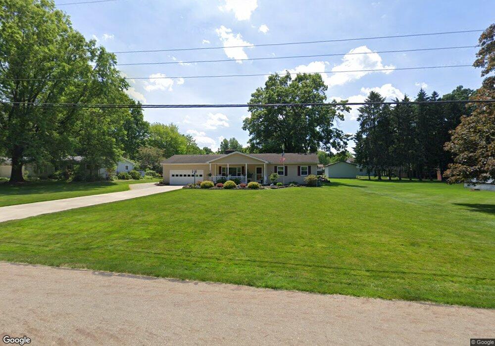
3530 Shellhart Rd Norton, OH 44203
Estimated Value: $218,000 - $260,000
3
Beds
2
Baths
1,344
Sq Ft
$173/Sq Ft
Est. Value
About This Home
This home is located at 3530 Shellhart Rd, Norton, OH 44203 and is currently estimated at $231,909, approximately $172 per square foot. 3530 Shellhart Rd is a home located in Summit County with nearby schools including Norton Primary Elementary School, Norton Middle School, and Norton High School.
Ownership History
Date
Name
Owned For
Owner Type
Purchase Details
Closed on
Oct 27, 1994
Sold by
Park Roberta
Bought by
Hamilton John P and Hamilton Tami L
Current Estimated Value
Home Financials for this Owner
Home Financials are based on the most recent Mortgage that was taken out on this home.
Original Mortgage
$85,500
Interest Rate
8.68%
Mortgage Type
New Conventional
Create a Home Valuation Report for This Property
The Home Valuation Report is an in-depth analysis detailing your home's value as well as a comparison with similar homes in the area
Home Values in the Area
Average Home Value in this Area
Purchase History
| Date | Buyer | Sale Price | Title Company |
|---|---|---|---|
| Hamilton John P | $90,000 | -- |
Source: Public Records
Mortgage History
| Date | Status | Borrower | Loan Amount |
|---|---|---|---|
| Closed | Hamilton John P | $85,500 |
Source: Public Records
Tax History
| Year | Tax Paid | Tax Assessment Tax Assessment Total Assessment is a certain percentage of the fair market value that is determined by local assessors to be the total taxable value of land and additions on the property. | Land | Improvement |
|---|---|---|---|---|
| 2025 | $3,081 | $60,442 | $11,214 | $49,228 |
| 2024 | $2,953 | $60,442 | $11,214 | $49,228 |
| 2023 | $2,953 | $60,442 | $11,214 | $49,228 |
| 2022 | $2,895 | $48,476 | $8,901 | $39,575 |
| 2021 | $2,907 | $48,476 | $8,901 | $39,575 |
| 2020 | $2,747 | $48,480 | $8,900 | $39,580 |
| 2019 | $2,573 | $39,320 | $8,100 | $31,220 |
| 2018 | $2,062 | $39,320 | $8,100 | $31,220 |
| 2017 | $2,125 | $39,320 | $8,100 | $31,220 |
| 2016 | $2,125 | $37,120 | $8,100 | $29,020 |
| 2015 | $2,125 | $37,120 | $8,100 | $29,020 |
| 2014 | $2,105 | $37,120 | $8,100 | $29,020 |
| 2013 | $2,402 | $42,800 | $8,100 | $34,700 |
Source: Public Records
Map
Nearby Homes
- 3520 Shellhart Rd
- 3691 Lebbens Rd
- 3616 Everett Dr
- 3713 Easton Rd
- 3702 Alumina Dr
- 3712 Alumina Dr
- 3719 Alumina Dr
- 3687 Kirkham Dr
- 3582 Greenwich Rd
- 3707 Creedmor Rd
- 3705 Creedmor Rd
- 3217 Creekside Dr
- 3212 Longwood Dr
- 4001 S Cleveland Massillon Rd
- 2992 Greenridge Rd
- 2910 S/L 17 Willow Way
- V/L 3837 S Cleveland Massillon Rd
- 2891 S/L 10 Willow Way
- 2943 S/L 5 Willow Way
- 2971 S/L 2 Willow Way
- 3529 Weyrick Dr
- 3601 Little Blvd
- 3510 Shellhart Rd
- 3539 Weyrick Dr
- 3519 Weyrick Dr
- 3549 Weyrick Dr
- 3509 Weyrick Dr
- 3572 Pillar Cir
- 3500 Shellhart Rd
- 3495 Shellhart Rd
- 3566 Shellhart Rd
- 3499 Weyrick Dr
- 3565 Little Blvd
- 3490 Shellhart Rd
- 3565 Weyrick Dr
- 3540 Weyrick Dr
- 3524 Weyrick Dr
- 3510 Weyrick Dr
- 3489 Weyrick Dr
- 3576 Shellhart Rd
Your Personal Tour Guide
Ask me questions while you tour the home.