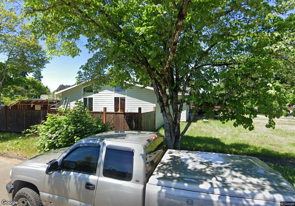
3536 Western Dr Eugene, OR 97401
Harlow NeighborhoodEstimated Value: $491,000 - $611,000
3
Beds
3
Baths
1,923
Sq Ft
$293/Sq Ft
Est. Value
About This Home
This home is located at 3536 Western Dr, Eugene, OR 97401 and is currently estimated at $564,222, approximately $293 per square foot. 3536 Western Dr is a home located in Lane County with nearby schools including Holt Elementary School, Monroe Middle School, and Sheldon High School.
Ownership History
Date
Name
Owned For
Owner Type
Purchase Details
Closed on
Mar 9, 2000
Sold by
Biehl Bruce E
Bought by
Kirsch Pamela K
Current Estimated Value
Home Financials for this Owner
Home Financials are based on the most recent Mortgage that was taken out on this home.
Original Mortgage
$115,000
Outstanding Balance
$36,504
Interest Rate
8.27%
Mortgage Type
Seller Take Back
Estimated Equity
$527,718
Create a Home Valuation Report for This Property
The Home Valuation Report is an in-depth analysis detailing your home's value as well as a comparison with similar homes in the area
Home Values in the Area
Average Home Value in this Area
Purchase History
| Date | Buyer | Sale Price | Title Company |
|---|---|---|---|
| Kirsch Pamela K | $115,000 | Western Pioneer Title Co |
Source: Public Records
Mortgage History
| Date | Status | Borrower | Loan Amount |
|---|---|---|---|
| Open | Kirsch Pamela K | $115,000 |
Source: Public Records
Tax History
| Year | Tax Paid | Tax Assessment Tax Assessment Total Assessment is a certain percentage of the fair market value that is determined by local assessors to be the total taxable value of land and additions on the property. | Land | Improvement |
|---|---|---|---|---|
| 2025 | $5,421 | $278,245 | -- | -- |
| 2024 | $5,354 | $270,141 | -- | -- |
| 2023 | $5,354 | $262,273 | -- | -- |
| 2022 | $5,016 | $254,634 | $0 | $0 |
| 2021 | $4,711 | $247,218 | $0 | $0 |
| 2020 | $4,728 | $240,018 | $0 | $0 |
| 2019 | $4,566 | $233,028 | $0 | $0 |
| 2018 | $4,298 | $219,651 | $0 | $0 |
| 2017 | $4,105 | $219,651 | $0 | $0 |
| 2016 | $3,910 | $213,253 | $0 | $0 |
| 2015 | $3,774 | $207,042 | $0 | $0 |
| 2014 | $3,728 | $201,012 | $0 | $0 |
Source: Public Records
Map
Nearby Homes
- 825 Waverly St
- 1271 Arcadia Dr
- 3700 Babcock Ln Unit 106
- 349 van Duyn St
- 1491 Victorian Way
- 2872 Suffolk Ct
- 2994 Dapple Way
- 280 Roan Dr
- 0 Sprig Ln Unit Lot 3
- 0 Sprig Ln Unit Lot 3 766109892
- 1564 Regency Dr
- 2746 Harlow Rd
- 280 Regal Ct
- 950 Coburg Rd
- 2727 Gateway St Unit 27
- 1630 Ridgley Blvd
- 2956 Willakenzie Rd
- 600 Cherry Dr Unit 8
- 600 Cherry Dr Unit 3
- 2345 Pioneer Pike
- 3528 Western Dr
- 3544 George Ct
- 3572 Western Dr
- 3520 Western Dr
- 3539 Western Dr
- 3548 George Ct
- 3525 Western Dr
- 3565 Western Dr
- 3560 George Ct
- 927 Waverly St
- 3512 Western Dr
- 3556 George Ct
- 3580 Western Dr
- 3552 George Ct
- 935 Waverly St
- 3583 Western Dr
- 1009 President St
- 1018 Martha Ct
- 3504 Western Dr
- 871 Waverly St
Your Personal Tour Guide
Ask me questions while you tour the home.