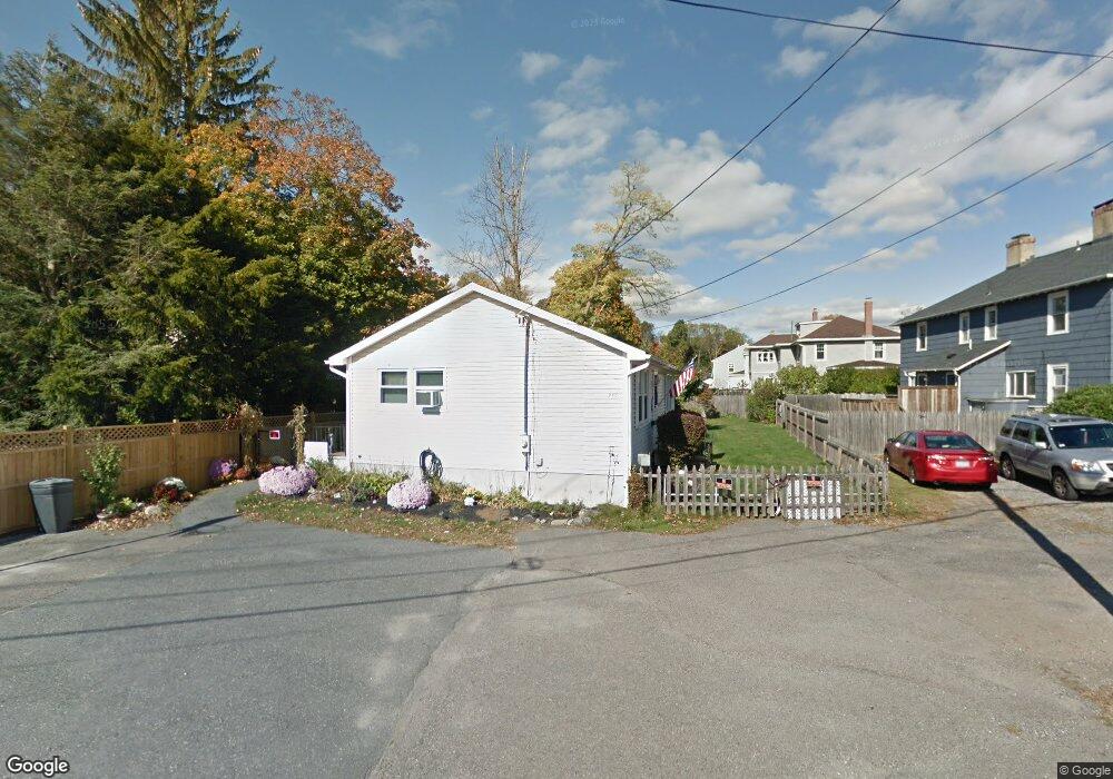
355 Brooks St Worcester, MA 01606
Summit NeighborhoodEstimated Value: $342,000 - $371,000
2
Beds
1
Bath
864
Sq Ft
$412/Sq Ft
Est. Value
About This Home
This home is located at 355 Brooks St, Worcester, MA 01606 and is currently estimated at $355,970, approximately $412 per square foot. 355 Brooks St is a home located in Worcester County with nearby schools including Norrback Avenue Elementary School, Jacob Hiatt Magnet School, and Chandler Magnet.
Ownership History
Date
Name
Owned For
Owner Type
Purchase Details
Closed on
Feb 24, 2012
Sold by
Tula Richard P
Bought by
Tula Richard P and Tula Tara M
Current Estimated Value
Home Financials for this Owner
Home Financials are based on the most recent Mortgage that was taken out on this home.
Original Mortgage
$93,000
Outstanding Balance
$11,920
Interest Rate
3.89%
Mortgage Type
New Conventional
Estimated Equity
$344,050
Purchase Details
Closed on
Sep 24, 2001
Sold by
Lawrence Ellen C and Leahy June A
Bought by
Tula Richard P
Home Financials for this Owner
Home Financials are based on the most recent Mortgage that was taken out on this home.
Original Mortgage
$95,120
Interest Rate
6.98%
Mortgage Type
Purchase Money Mortgage
Create a Home Valuation Report for This Property
The Home Valuation Report is an in-depth analysis detailing your home's value as well as a comparison with similar homes in the area
Home Values in the Area
Average Home Value in this Area
Purchase History
| Date | Buyer | Sale Price | Title Company |
|---|---|---|---|
| Tula Richard P | -- | -- | |
| Tula Richard P | $118,900 | -- |
Source: Public Records
Mortgage History
| Date | Status | Borrower | Loan Amount |
|---|---|---|---|
| Open | Tula Richard P | $93,000 | |
| Previous Owner | Tula Richard P | $105,000 | |
| Previous Owner | Tula Richard P | $95,120 |
Source: Public Records
Tax History
| Year | Tax Paid | Tax Assessment Tax Assessment Total Assessment is a certain percentage of the fair market value that is determined by local assessors to be the total taxable value of land and additions on the property. | Land | Improvement |
|---|---|---|---|---|
| 2025 | $4,465 | $338,500 | $117,800 | $220,700 |
| 2024 | $4,381 | $318,600 | $117,800 | $200,800 |
| 2023 | $4,255 | $296,700 | $102,500 | $194,200 |
| 2022 | $3,758 | $247,100 | $82,000 | $165,100 |
| 2021 | $3,552 | $218,200 | $65,600 | $152,600 |
| 2020 | $3,422 | $201,300 | $65,600 | $135,700 |
| 2019 | $3,213 | $178,500 | $59,000 | $119,500 |
| 2018 | $3,126 | $165,300 | $59,000 | $106,300 |
| 2017 | $3,119 | $162,300 | $59,000 | $103,300 |
| 2016 | $3,001 | $145,600 | $43,000 | $102,600 |
| 2015 | $2,922 | $145,600 | $43,000 | $102,600 |
| 2014 | $2,845 | $145,600 | $43,000 | $102,600 |
Source: Public Records
Map
Nearby Homes
Your Personal Tour Guide
Ask me questions while you tour the home.