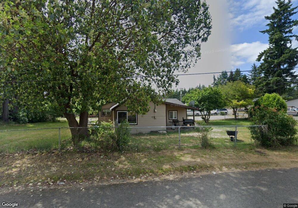
355 E Roosevelt St Shelton, WA 98584
Shelton AreaEstimated Value: $309,000 - $337,209
About This Home
This home is located at 355 E Roosevelt St, Shelton, WA 98584 and is currently estimated at $324,052, approximately $324 per square foot. 355 E Roosevelt St is a home located in Mason County with nearby schools including Bordeaux Elementary School, Olympic Middle School, and Oakland Bay Junior High School.
Ownership History
We collect this data history from publicly available records. To have your information removed, we recommend requesting removal directly through your county’s website.
Purchase Details
Home Financials for this Owner
Home Financials are based on the most recent Mortgage that was taken out on this home.Purchase History
We collect this data history from publicly available records. To have your information removed, we recommend requesting removal directly through your county’s website.
| Date | Buyer | Sale Price | Title Company |
|---|---|---|---|
| -- | Land Title |
Mortgage History
We collect this data history from publicly available records. To have your information removed, we recommend requesting removal directly through your county’s website.
| Date | Status | Borrower | Loan Amount |
|---|---|---|---|
| Open | $234,600 | ||
| Previous Owner | $225,000 | ||
| Previous Owner | $165,000 | ||
| Previous Owner | $129,000 | ||
| Previous Owner | $130,000 | ||
| Previous Owner | $113,600 | ||
| Previous Owner | $99,000 |
Tax History
We collect this data history from publicly available records. To have your information removed, we recommend requesting removal directly through your county’s website.
| Year | Tax Paid | Tax Assessment Tax Assessment Total Assessment is a certain percentage of the fair market value that is determined by local assessors to be the total taxable value of land and additions on the property. | Land | Improvement |
|---|---|---|---|---|
| 2026 | $2,985 | $296,910 | $43,710 | $253,200 |
| 2025 | $2,252 | $233,555 | $43,710 | $189,845 |
| 2024 | $2,252 | $228,930 | $39,735 | $189,195 |
| 2023 | $2,631 | $251,800 | $36,795 | $215,005 |
| 2022 | $2,297 | $183,725 | $34,710 | $149,015 |
| 2021 | $1,956 | $183,725 | $34,710 | $149,015 |
| 2020 | $1,808 | $144,225 | $37,730 | $106,495 |
| 2018 | $1,710 | $102,380 | $51,000 | $51,380 |
| 2017 | $1,475 | $102,380 | $51,000 | $51,380 |
| 2016 | $1,450 | $95,500 | $51,000 | $44,500 |
| 2015 | $1,417 | $95,500 | $51,000 | $44,500 |
| 2014 | -- | $92,040 | $48,000 | $44,040 |
| 2013 | -- | $95,920 | $45,000 | $50,920 |
Map
- 2028 Ferry St
- 1912 Boundary St
- 1824 Hay St
- 4 SP W Wilson St
- 428 Bellevue Ave
- 0 Satsop Ave
- 1505 Division St
- 421 Ellinor Ave
- 634 Dearborn Ave
- 1514 Summit Dr
- 705 E Dearborn Ave
- 2005 Lake Blvd
- 2 Xx Euclid Ave
- 2064 Lake Blvd
- 927 Ellinor Ave
- 918 Ellinor Ave
- 884 Fairmount Ave
- 721 Sunset Ct
- 705 Grandview Ave
- 0 W Harvard Ave
- 2018 Ferry St
- 302 E Roosevelt St
- 319 E Roosevelt St
- 2011 Ferry St
- 1929 Pioneer Way
- 2019 Ferry St
- 1915 Boundary St
- 1919 Pioneer Way
- 2027 Ferry St
- 1925 Ferry St
- 2034 Summit Dr
- 1920 Boundary St
- 309 E Roosevelt St
- 2020 Stevens St
- 1919 Ferry St
- 2028 Stevens St
- 2027 Summit Dr
- 2018 Summit Dr
- 1907 Boundary St
- 309 E Mckinley St
Ask me questions while you tour the home.