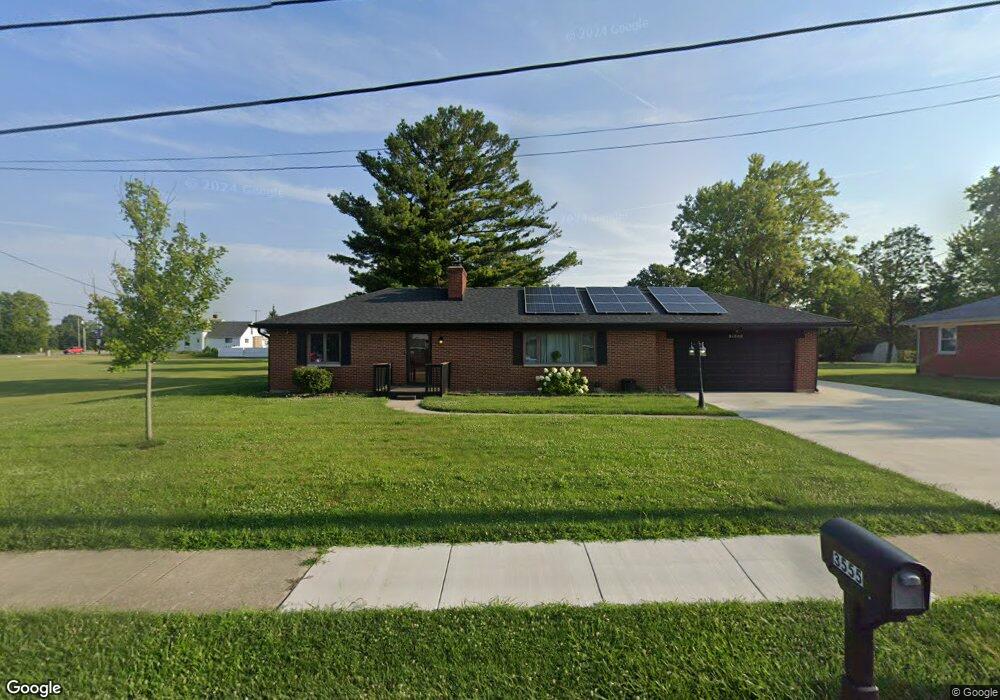
3555 Maxton Rd Dayton, OH 45414
Estimated Value: $213,133 - $241,000
About This Home
This home is located at 3555 Maxton Rd, Dayton, OH 45414 and is currently estimated at $230,783, approximately $188 per square foot. 3555 Maxton Rd is a home located in Montgomery County with nearby schools including Smith Middle School, Demmitt Elementary School, and Butler High School.
Ownership History
We collect this data history from publicly available records. To have your information removed, we recommend requesting removal directly through your county’s website.
Purchase Details
Home Financials for this Owner
Home Financials are based on the most recent Mortgage that was taken out on this home.Purchase Details
Purchase Details
Purchase Details
Purchase Details
Purchase Details
Home Financials for this Owner
Home Financials are based on the most recent Mortgage that was taken out on this home.Purchase Details
Home Financials for this Owner
Home Financials are based on the most recent Mortgage that was taken out on this home.Home Values in the Area
Average Home Value in this Area
Purchase History
We collect this data history from publicly available records. To have your information removed, we recommend requesting removal directly through your county’s website.
| Date | Buyer | Sale Price | Title Company |
|---|---|---|---|
| $100,000 | None Available | ||
| -- | None Available | ||
| $15,200 | None Available | ||
| -- | -- | ||
| -- | -- | ||
| $103,500 | -- | ||
| $101,500 | -- |
Mortgage History
We collect this data history from publicly available records. To have your information removed, we recommend requesting removal directly through your county’s website.
| Date | Status | Borrower | Loan Amount |
|---|---|---|---|
| Open | $80,000 | ||
| Previous Owner | $93,150 | ||
| Previous Owner | $71,050 |
Tax History
We collect this data history from publicly available records. To have your information removed, we recommend requesting removal directly through your county’s website.
| Year | Tax Paid | Tax Assessment Tax Assessment Total Assessment is a certain percentage of the fair market value that is determined by local assessors to be the total taxable value of land and additions on the property. | Land | Improvement |
|---|---|---|---|---|
| 2025 | $2,140 | $57,510 | $11,090 | $46,420 |
| 2024 | $3,123 | $42,000 | $11,090 | $30,910 |
| 2023 | $3,123 | $50,600 | $11,090 | $39,510 |
| 2022 | $2,763 | $35,640 | $7,810 | $27,830 |
| 2021 | $2,764 | $35,640 | $7,810 | $27,830 |
| 2020 | $2,820 | $35,640 | $7,810 | $27,830 |
| 2019 | $3,599 | $38,650 | $7,030 | $31,620 |
| 2018 | $3,602 | $38,650 | $7,030 | $31,620 |
| 2017 | $3,576 | $38,650 | $7,030 | $31,620 |
| 2016 | $3,333 | $38,810 | $7,810 | $31,000 |
| 2015 | $3,463 | $38,810 | $7,810 | $31,000 |
| 2014 | $3,463 | $38,810 | $7,810 | $31,000 |
| 2012 | -- | $37,210 | $7,810 | $29,400 |
Map
- 7444 New York Way
- 4114 Tangletree Ct
- 3569 Little York Rd
- 3291 Benchwood Rd
- 734 Deerhurst Dr
- 3320 Benchwood Rd
- 704 Deerhurst Dr
- 690 Deerhurst Dr
- 687 Deerhurst Dr
- 624 Deerhurst Dr
- 701 Deerhurst Dr
- 659 Deerhurst Dr
- 3280 Benchwood Rd
- 660 Deerhurst Dr
- 2365 Upper Trent Way
- 7580 Turtle Creek Dr
- 7575 Turtle Creek Dr
- 7520 President Ct
- 6780 Brantford Rd
- 6114 Miller Ln
- 3565 Maxton Rd
- 3575 Maxton Rd
- 3566 Maxton Rd
- 3556 Maxton Rd
- 3576 Maxton Rd
- 3585 Maxton Rd
- 8290 N Dixie Dr
- 8430 N Dixie Dr
- 3601 Maxton Rd
- 3586 Maxton Rd
- 7303 Epcot Ln
- 7309 Epcot Ln
- 3605 Maxton Rd
- 8448 N Dixie Dr
- 7321 Epcot Ln
- 7327 Epcot Ln Unit 7327
- 7300 Epcot Ln
- 7310 Epcot Ln
- 7312 Epcot Ln Unit 7312
- 8514 N Dixie Dr
Ask me questions while you tour the home.