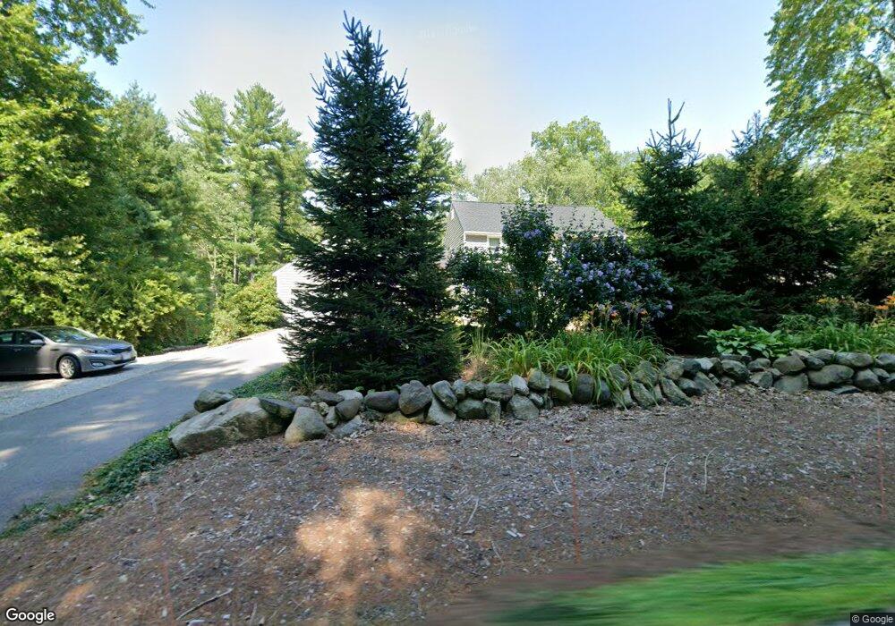
356 Boston Rd Chelmsford, MA 01824
Estimated Value: $689,000 - $808,000
3
Beds
3
Baths
1,840
Sq Ft
$410/Sq Ft
Est. Value
About This Home
This home is located at 356 Boston Rd, Chelmsford, MA 01824 and is currently estimated at $753,889, approximately $409 per square foot. 356 Boston Rd is a home located in Middlesex County with nearby schools including South Row Elementary School, McCarthy Middle School, and Chelmsford High School.
Ownership History
Date
Name
Owned For
Owner Type
Purchase Details
Closed on
Aug 14, 2017
Sold by
Nelson Stephen J
Bought by
Nelson Stephen J and Harrington Sherian
Current Estimated Value
Purchase Details
Closed on
Sep 17, 2010
Sold by
Mrakovich Vincent F and Mrakovich Rosemary
Bought by
Nelson Stephen J
Home Financials for this Owner
Home Financials are based on the most recent Mortgage that was taken out on this home.
Original Mortgage
$220,500
Interest Rate
4.51%
Mortgage Type
Purchase Money Mortgage
Create a Home Valuation Report for This Property
The Home Valuation Report is an in-depth analysis detailing your home's value as well as a comparison with similar homes in the area
Purchase History
| Date | Buyer | Sale Price | Title Company |
|---|---|---|---|
| Nelson Stephen J | -- | -- | |
| Nelson Stephen J | -- | -- | |
| Nelson Stephen J | $294,000 | -- | |
| Nelson Stephen J | $294,000 | -- |
Source: Public Records
Mortgage History
| Date | Status | Borrower | Loan Amount |
|---|---|---|---|
| Previous Owner | Nelson Stephen J | $220,500 | |
| Previous Owner | Nelson Stephen J | $45,000 |
Source: Public Records
Tax History
| Year | Tax Paid | Tax Assessment Tax Assessment Total Assessment is a certain percentage of the fair market value that is determined by local assessors to be the total taxable value of land and additions on the property. | Land | Improvement |
|---|---|---|---|---|
| 2025 | $8,939 | $643,100 | $304,100 | $339,000 |
| 2024 | $8,646 | $634,800 | $304,100 | $330,700 |
| 2023 | $8,379 | $583,100 | $322,800 | $260,300 |
| 2022 | $7,866 | $498,800 | $280,400 | $218,400 |
| 2021 | $7,665 | $487,000 | $257,200 | $229,800 |
| 2020 | $7,379 | $448,600 | $232,500 | $216,100 |
| 2019 | $6,916 | $423,000 | $230,400 | $192,600 |
| 2018 | $7,180 | $399,800 | $207,200 | $192,600 |
| 2017 | $6,957 | $388,200 | $194,000 | $194,200 |
| 2016 | $5,732 | $317,900 | $192,800 | $125,100 |
| 2015 | $5,582 | $298,500 | $175,200 | $123,300 |
| 2014 | $5,375 | $283,200 | $165,300 | $117,900 |
Source: Public Records
Map
Nearby Homes
- 20 Donna Rd
- 175 Rangeway Rd
- 400 Rutland St
- 1 Rosemary Ln
- 146 Aldershot Ln
- 1090 North Rd
- 15 San Mateo Dr
- 82 Chestnut Ln
- 90 Rangeway Rd Unit 204
- 19 Rosewood Ave
- 14 Cedarwood Rd
- 12 Fernwood Rd
- 6 Balsamwood Ave
- 8 Perham St
- 9 Acton Rd Unit 6
- 9 Acton Rd Unit 8
- 18 Gilman Rd
- 3 Nashoba Dr
- 17 Sinai Cir Unit D-9
- 41 Boston Rd Unit 485
Your Personal Tour Guide
Ask me questions while you tour the home.