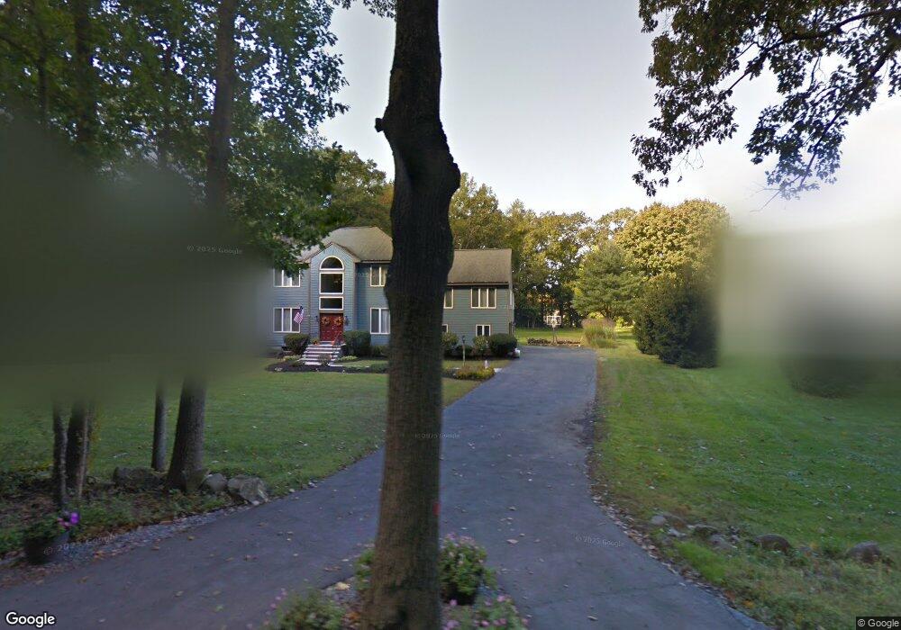
357 Central St Georgetown, MA 01833
Georgetown AreaEstimated Value: $1,033,000 - $1,156,000
About This Home
This home is located at 357 Central St, Georgetown, MA 01833 and is currently estimated at $1,099,705, approximately $379 per square foot. 357 Central St is a home located in Essex County with nearby schools including Perley Elementary School, Penn Brook School, and Georgetown High School.
Ownership History
We collect this data history from publicly available records. To have your information removed, we recommend requesting removal directly through your county’s website.
Purchase Details
Purchase Details
Home Values in the Area
Average Home Value in this Area
Purchase History
We collect this data history from publicly available records. To have your information removed, we recommend requesting removal directly through your county’s website.
| Date | Buyer | Sale Price | Title Company |
|---|---|---|---|
| $559,900 | -- | ||
| $90,000 | -- |
Mortgage History
We collect this data history from publicly available records. To have your information removed, we recommend requesting removal directly through your county’s website.
| Date | Status | Borrower | Loan Amount |
|---|---|---|---|
| Open | $200,000 | ||
| Closed | $100,000 | ||
| Open | $478,000 | ||
| Closed | $481,000 | ||
| Closed | $83,900 | ||
| Closed | $393,000 | ||
| Closed | $50,000 | ||
| Closed | $417,000 | ||
| Closed | $175,000 | ||
| Closed | $100,000 | ||
| Previous Owner | $160,000 | ||
| Previous Owner | $35,000 | ||
| Previous Owner | $30,000 |
Tax History
We collect this data history from publicly available records. To have your information removed, we recommend requesting removal directly through your county’s website.
| Year | Tax Paid | Tax Assessment Tax Assessment Total Assessment is a certain percentage of the fair market value that is determined by local assessors to be the total taxable value of land and additions on the property. | Land | Improvement |
|---|---|---|---|---|
| 2025 | $11,353 | $1,026,500 | $279,700 | $746,800 |
| 2024 | $11,373 | $906,200 | $192,900 | $713,300 |
| 2023 | $10,986 | $846,400 | $192,900 | $653,500 |
| 2022 | $10,828 | $769,000 | $167,700 | $601,300 |
| 2021 | $10,254 | $645,300 | $167,700 | $477,600 |
| 2020 | $10,273 | $645,300 | $167,700 | $477,600 |
| 2019 | $10,132 | $642,100 | $164,500 | $477,600 |
| 2018 | $10,197 | $642,100 | $164,500 | $477,600 |
| 2017 | $9,773 | $602,900 | $164,500 | $438,400 |
| 2016 | $9,430 | $594,200 | $164,500 | $429,700 |
| 2015 | $9,185 | $573,000 | $164,500 | $408,500 |
| 2014 | $8,051 | $573,000 | $164,500 | $408,500 |
Map
- 138 Killam Hill Rd
- 38 Brook St
- 41 Baldpate Rd
- 261 Ipswich Rd
- 11 Hemlock Rd
- 10 Fieldstone Way
- 41 E Main St
- 7 Lakeshore Dr Unit 7A
- 7 Lakeshore Dr
- 105 Georgetown Rd
- 27 Searle St
- 51 W Main St Unit 6
- 15 Molloy Rd
- 82 Spofford Rd
- 85 W Main St
- 870 Haverhill St Unit 13C
- 901 Haverhill St
- 8 Molloy Rd
- 83 Lakeshore Dr
- 34 Roberts Rd
- 355 Central St
- 367 Central St
- 355 Central St
- 371 Central St
- 355R Central St
- 355C Central St
- 3 Corinthian Way
- 1 Corinthian Way
- 372 Central St
- 353 Central St
- 5 Corinthian Way
- 375 Central St
- 350 Central St
- 2 Corinthian Way
- 2 Corinthian Way Unit 1
- 2 Lantern Ln
- 2 Lantern Ln
- 321 Central St
- 3 Pingree Farm Rd
- 7 Corinthian Way
Ask me questions while you tour the home.