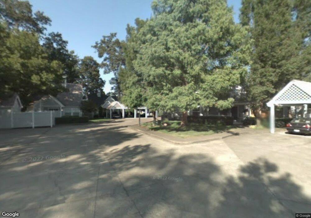
3585 Arbor Ave Eugene, OR 97402
Churchill NeighborhoodEstimated Value: $335,928 - $399,000
2
Beds
2
Baths
1,180
Sq Ft
$309/Sq Ft
Est. Value
About This Home
This home is located at 3585 Arbor Ave, Eugene, OR 97402 and is currently estimated at $364,982, approximately $309 per square foot. 3585 Arbor Ave is a home located in Lane County with nearby schools including McCornack Elementary School, Kennedy Middle School, and Churchill High School.
Ownership History
Date
Name
Owned For
Owner Type
Purchase Details
Closed on
Feb 25, 2025
Sold by
Cornell-Fabiano Jolynn
Bought by
Jolynn Cornell-Fabiano Family Trust and Cornell-Fabiano
Current Estimated Value
Purchase Details
Closed on
Jan 20, 1999
Sold by
Marla Scarpelli and Scarpelli Pellum Marla
Bought by
Cornell Fabiano Jolynn
Home Financials for this Owner
Home Financials are based on the most recent Mortgage that was taken out on this home.
Original Mortgage
$123,025
Interest Rate
6.63%
Create a Home Valuation Report for This Property
The Home Valuation Report is an in-depth analysis detailing your home's value as well as a comparison with similar homes in the area
Home Values in the Area
Average Home Value in this Area
Purchase History
| Date | Buyer | Sale Price | Title Company |
|---|---|---|---|
| Jolynn Cornell-Fabiano Family Trust | -- | None Listed On Document | |
| Cornell Fabiano Jolynn | $129,500 | Western Pioneer Title Co |
Source: Public Records
Mortgage History
| Date | Status | Borrower | Loan Amount |
|---|---|---|---|
| Previous Owner | Cornell Fabiano Jolynn | $123,025 |
Source: Public Records
Tax History
| Year | Tax Paid | Tax Assessment Tax Assessment Total Assessment is a certain percentage of the fair market value that is determined by local assessors to be the total taxable value of land and additions on the property. | Land | Improvement |
|---|---|---|---|---|
| 2025 | $3,873 | $198,761 | -- | -- |
| 2024 | $3,824 | $192,972 | -- | -- |
| 2023 | $3,824 | $187,352 | -- | -- |
| 2022 | $3,583 | $181,896 | $0 | $0 |
| 2021 | $3,365 | $176,599 | $0 | $0 |
| 2020 | $3,326 | $171,456 | $0 | $0 |
| 2019 | $3,220 | $166,463 | $0 | $0 |
| 2018 | $2,961 | $156,908 | $0 | $0 |
| 2017 | $2,749 | $156,908 | $0 | $0 |
| 2016 | $2,609 | $152,338 | $0 | $0 |
| 2015 | $2,496 | $147,901 | $0 | $0 |
| 2014 | $2,441 | $143,593 | $0 | $0 |
Source: Public Records
Map
Nearby Homes
- 3315 W 18th Ave
- 1438 Quaker St
- 1326 Quaker St
- 3534 Westleigh St
- 1365 Quaker St
- 3705 Peppertree Dr
- 3826 Peppertree Dr
- 2953 W 15th Ave
- 1432 Fetters Loop
- 0 W 18th Ave Unit LOT 2
- 0 W 18th Ave Unit LOT 3
- 1925 Harvard Dr
- 1945 Sunrise Blvd
- 1488 Fetters Loop
- 1910 Hawkins Ln
- 1885 Churchill St
- 2145 Hawkins Ln Unit 30
- 1415 S Bertelsen Rd Unit 96
- 1415 S Bertelsen Rd Unit 34
- 1415 S Bertelsen Rd Unit 143
- 3581 Arbor Ave
- 3591 Arbor Ave
- 1696 Jean Ct
- 1720 Mistletoe St
- 1688 Jean Ct
- 3595 Arbor Ave Unit VRM
- 3595 Arbor Ave
- 3575 Arbor Ave
- 3571 Arbor Ave
- 1750 Mistletoe St
- 1674 Jean Ct
- 3565 Arbor Ave
- 1608 Jean Ct
- 3561 Arbor Ave
- 1604 Jean Ct
- 1780 Mistletoe St
- 1668 Jean Ct
- 1675 Mistletoe St
- 1616 Jean Ct
- 1717 Mistletoe St
Your Personal Tour Guide
Ask me questions while you tour the home.