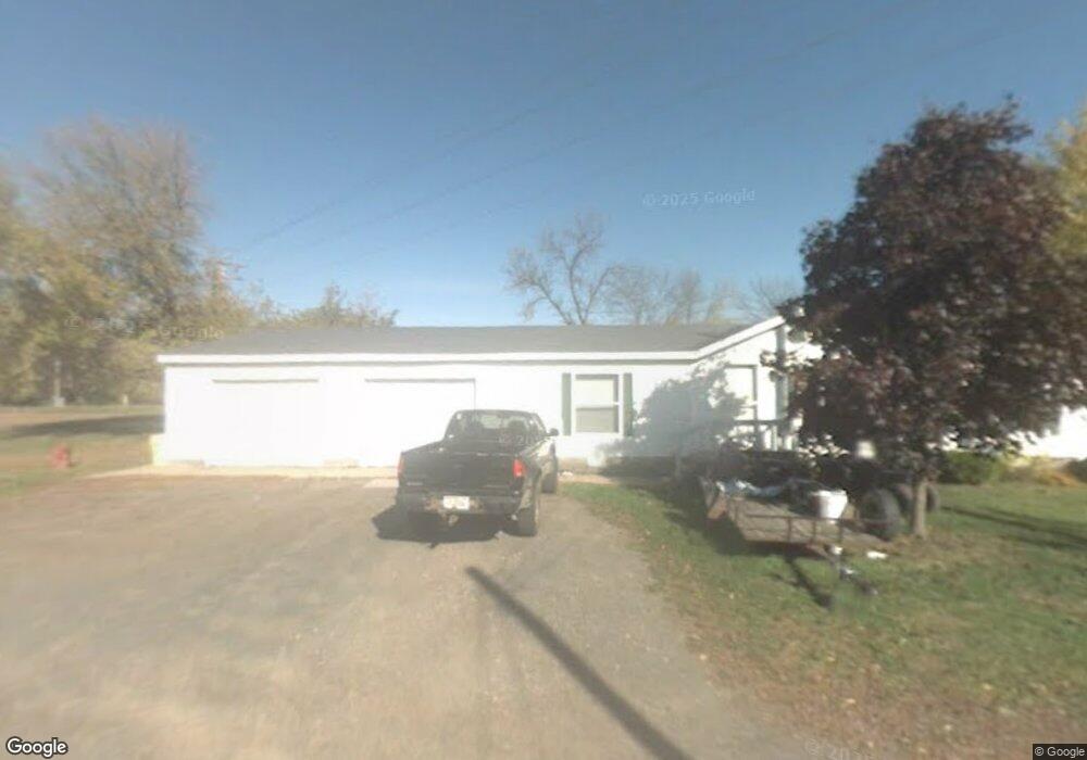
359 N Mill St Barron, WI 54812
Estimated Value: $200,000 - $357,000
2
Beds
2
Baths
--
Sq Ft
16,988
Sq Ft Lot
About This Home
This home is located at 359 N Mill St, Barron, WI 54812 and is currently estimated at $284,388. 359 N Mill St is a home located in Barron County with nearby schools including Barron High School, Advanced Learning Academy of Wisconsin, and Barron Christian School.
Ownership History
Date
Name
Owned For
Owner Type
Purchase Details
Closed on
Sep 6, 2024
Sold by
Delawyer Casey C and Delawyer Amanda J.
Bought by
Hanson Taylor
Current Estimated Value
Purchase Details
Closed on
Sep 25, 2017
Sold by
Forehand Patty D
Bought by
Delawyer Casey C and Anderson David H
Home Financials for this Owner
Home Financials are based on the most recent Mortgage that was taken out on this home.
Original Mortgage
$215,000
Interest Rate
3.9%
Mortgage Type
New Conventional
Create a Home Valuation Report for This Property
The Home Valuation Report is an in-depth analysis detailing your home's value as well as a comparison with similar homes in the area
Home Values in the Area
Average Home Value in this Area
Purchase History
| Date | Buyer | Sale Price | Title Company |
|---|---|---|---|
| Hanson Taylor | $149,000 | T.M. Title Services, Inc. | |
| Delawyer Casey C | $215,000 | T M Title Svcs Inc |
Source: Public Records
Mortgage History
| Date | Status | Borrower | Loan Amount |
|---|---|---|---|
| Previous Owner | Delawyer Casey C | $215,000 |
Source: Public Records
Tax History
| Year | Tax Paid | Tax Assessment Tax Assessment Total Assessment is a certain percentage of the fair market value that is determined by local assessors to be the total taxable value of land and additions on the property. | Land | Improvement |
|---|---|---|---|---|
| 2025 | $4,761 | $290,000 | $43,500 | $246,500 |
| 2024 | $5,831 | $357,000 | $32,400 | $324,600 |
| 2023 | $5,800 | $216,700 | $21,300 | $195,400 |
| 2022 | $5,671 | $216,700 | $21,300 | $195,400 |
| 2021 | $5,819 | $216,700 | $21,300 | $195,400 |
| 2020 | $5,492 | $216,700 | $21,300 | $195,400 |
| 2019 | $5,152 | $216,700 | $21,300 | $195,400 |
| 2018 | $5,148 | $216,700 | $21,300 | $195,400 |
| 2017 | $7,197 | $299,600 | $21,300 | $278,300 |
| 2016 | $7,548 | $299,600 | $21,300 | $278,300 |
| 2015 | $6,860 | $299,600 | $21,300 | $278,300 |
| 2014 | $6,948 | $296,500 | $21,300 | $275,200 |
| 2013 | $7,102 | $296,500 | $21,300 | $275,200 |
Source: Public Records
Map
Nearby Homes
- 37 E Division Ave
- Lots 13-15 Candy Ln
- 429 W Division Ave
- 127 S 2nd St
- 526 Jean-Marie St Unit 1-8
- LOT 1 13 1 2 Ave
- LOT 2 13 1 2 Ave
- LOT 3 13 1 2 Ave
- 701 N Mill St
- 16 W Monroe Ave
- 810 E La Salle Ave
- Lot 4 E Taylor Ave
- 1388 13 1 2 Ave
- 0 S 6th St
- 261 Rolling Oaks Dr
- 406 S 5th St
- 740 E Birch Ave
- 1034 E La Salle Ave
- 211 Cityview Dr
- 285 Cityview Dr
- 359 N Mill St Unit 15
- 359 N 359 N Mill Street--
- 359 N Mill St
- 338 338 N Mill-Street-
- 338 N Mill St
- 306 N Mill St
- 332 N Mill St
- 342 N Mill St
- 56 E River Ave
- 333A N Mill St
- 327 N Mill St
- 317 N Mill St
- 309 N Mill St
- 65 W River Ave
- 55 W River Ave
- 7 W River Ave
- 7 W River Ave
- 7 W River Ave Unit 2
- 231 N Mill St
- 70 W River Ave
Your Personal Tour Guide
Ask me questions while you tour the home.