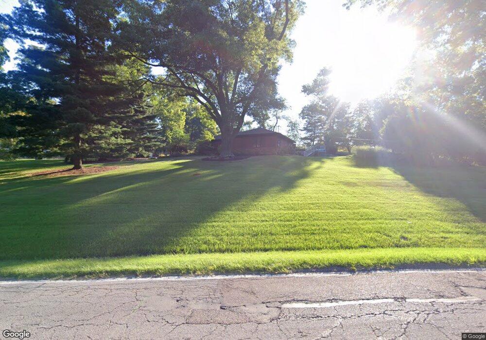
3596 Shady Ln North Bend, OH 45052
Cleves AreaEstimated Value: $176,000 - $472,000
About This Home
This home is located at 3596 Shady Ln, North Bend, OH 45052 and is currently estimated at $297,333. 3596 Shady Ln is a home located in Hamilton County with nearby schools including Charles T. Young Elementary School, Taylor Middle School, and Taylor High School.
Ownership History
We collect this data history from publicly available records. To have your information removed, we recommend requesting removal directly through your county’s website.
Purchase Details
Purchase Details
Home Financials for this Owner
Home Financials are based on the most recent Mortgage that was taken out on this home.Purchase Details
Home Values in the Area
Average Home Value in this Area
Purchase History
We collect this data history from publicly available records. To have your information removed, we recommend requesting removal directly through your county’s website.
| Date | Buyer | Sale Price | Title Company |
|---|---|---|---|
| $400,000 | None Available | ||
| $145,000 | Ltoc | ||
| -- | Attorney |
Mortgage History
We collect this data history from publicly available records. To have your information removed, we recommend requesting removal directly through your county’s website.
| Date | Status | Borrower | Loan Amount |
|---|---|---|---|
| Previous Owner | $217,000 | ||
| Previous Owner | $312,000 | ||
| Previous Owner | $116,000 |
Tax History
We collect this data history from publicly available records. To have your information removed, we recommend requesting removal directly through your county’s website.
| Year | Tax Paid | Tax Assessment Tax Assessment Total Assessment is a certain percentage of the fair market value that is determined by local assessors to be the total taxable value of land and additions on the property. | Land | Improvement |
|---|---|---|---|---|
| 2025 | $20 | $350 | $350 | |
| 2023 | $18 | $350 | $350 | $0 |
| 2022 | $25 | $378 | $378 | $0 |
| 2021 | $25 | $378 | $378 | $0 |
| 2020 | $24 | $378 | $378 | $0 |
| 2019 | $24 | $350 | $350 | $0 |
| 2018 | $24 | $350 | $350 | $0 |
| 2017 | $23 | $350 | $350 | $0 |
| 2016 | $23 | $364 | $364 | $0 |
| 2015 | $23 | $364 | $364 | $0 |
| 2014 | $23 | $364 | $364 | $0 |
| 2013 | $22 | $350 | $350 | $0 |
Map
- 3317 Cherryridge Dr
- 7980 Tall Timbers Dr Unit 12
- 3319 Cherryview Ct
- 7903 Tall Timbers Dr
- 7087 Bridgetown Rd
- 3036 Fiddlers Green Rd
- 7650 Dog Trot Rd
- 3791 Yorkshire Cir
- 3791 Yorkshire Cir
- 2785 Mahoning Ct
- 2794 Buckridge Dr
- 2794 Buckridge Dr
- 2794 Buckridge Dr
- 6980 Dovehill Ln
- 7300 Pickway Dr
- 2759 Buckridge Dr
- 4125 Sophias Way
- 3037 Barnbougle Dr
- 4181 Locust Ridge Dr
- 7716 Carnoustie Ct
Ask me questions while you tour the home.