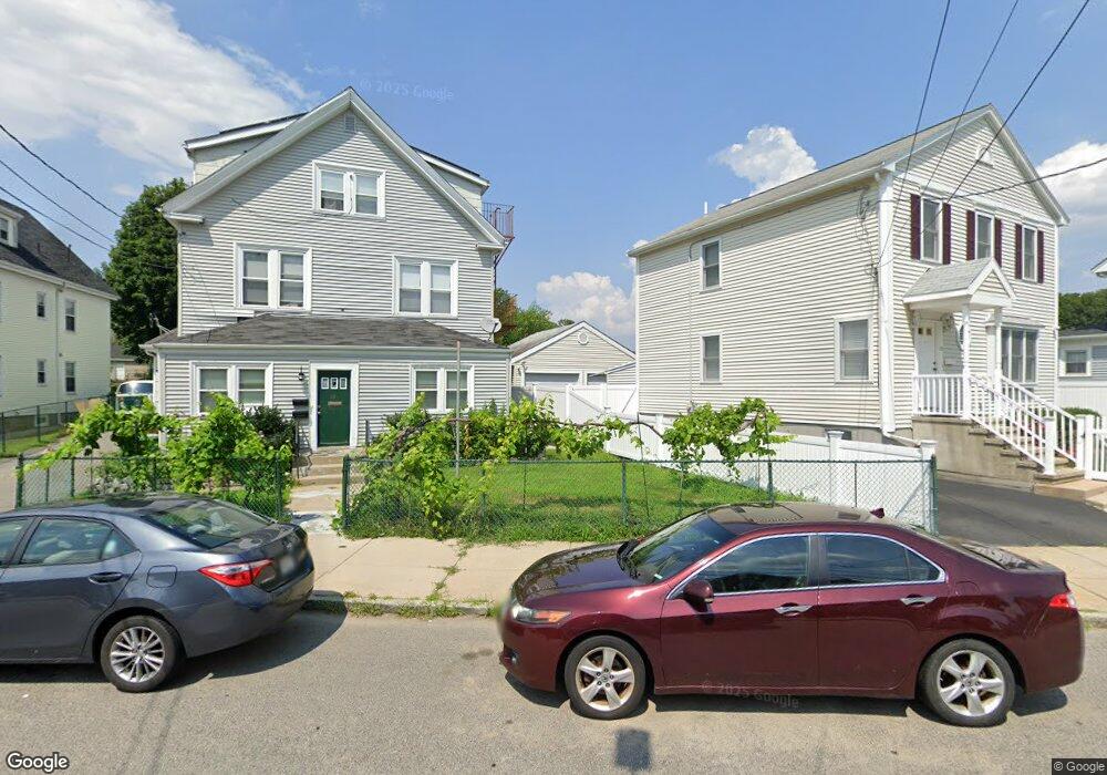
36 Ramsdell Ave Roslindale, MA 02131
Roslindale NeighborhoodEstimated Value: $878,397 - $990,000
About This Home
This home is located at 36 Ramsdell Ave, Roslindale, MA 02131 and is currently estimated at $911,599, approximately $361 per square foot. 36 Ramsdell Ave is a home located in Suffolk County with nearby schools including Henry Grew School, Curtis Guild Elementary School, and Boston Latin Academy.
Ownership History
We collect this data history from publicly available records. To have your information removed, we recommend requesting removal directly through your county’s website.
Purchase Details
Purchase Details
Home Financials for this Owner
Home Financials are based on the most recent Mortgage that was taken out on this home.Purchase Details
Home Values in the Area
Average Home Value in this Area
Purchase History
We collect this data history from publicly available records. To have your information removed, we recommend requesting removal directly through your county’s website.
| Date | Buyer | Sale Price | Title Company |
|---|---|---|---|
| -- | -- | ||
| -- | -- | ||
| -- | -- |
Mortgage History
We collect this data history from publicly available records. To have your information removed, we recommend requesting removal directly through your county’s website.
| Date | Status | Borrower | Loan Amount |
|---|---|---|---|
| Open | $465,000 | ||
| Closed | $440,000 | ||
| Closed | $30,000 | ||
| Previous Owner | $318,000 | ||
| Closed | $50,000 | ||
| Previous Owner | $20,000 | ||
| Closed | $200,000 |
Tax History
We collect this data history from publicly available records. To have your information removed, we recommend requesting removal directly through your county’s website.
| Year | Tax Paid | Tax Assessment Tax Assessment Total Assessment is a certain percentage of the fair market value that is determined by local assessors to be the total taxable value of land and additions on the property. | Land | Improvement |
|---|---|---|---|---|
| 2025 | $8,357 | $721,700 | $224,000 | $497,700 |
| 2024 | $7,339 | $673,300 | $205,200 | $468,100 |
| 2023 | $6,889 | $641,400 | $195,500 | $445,900 |
| 2022 | $6,459 | $593,700 | $180,900 | $412,800 |
| 2021 | $5,976 | $560,100 | $170,700 | $389,400 |
| 2020 | $5,730 | $542,600 | $156,900 | $385,700 |
| 2019 | $5,503 | $522,100 | $139,500 | $382,600 |
| 2018 | $5,066 | $483,400 | $139,500 | $343,900 |
| 2017 | $4,659 | $439,900 | $139,500 | $300,400 |
| 2016 | $4,622 | $420,200 | $138,500 | $281,700 |
| 2015 | $3,958 | $326,800 | $126,000 | $200,800 |
| 2014 | $3,722 | $295,900 | $126,000 | $169,900 |
Map
- 699 Hyde Park Ave Unit 6
- 969 Canterbury St
- 25 Pinedale Rd Unit 1
- 624 Hyde Park Ave Unit C3
- 790 Hyde Park Ave Unit 24
- 39 Collins St
- 60 Stella Rd
- 41 Brown Ave
- 68 Rowe St Unit 2
- 68 Rowe St Unit 3
- 68 Rowe St Unit 1
- 58 Victoria Heights Rd
- 23 Victoria Heights Rd
- 260 Huntington Ave
- 737 American Legion Hwy
- 519 Metropolitan Ave
- 620 Beech St Unit 622
- 10 Brook St
- 73 Hawthorne St
- 5 Taunton Ave
- 31 Ramsdell Ave
- 27 Ramsdell Ave
- 35 Ramsdell Ave
- 66 Clare Ave
- 62 Clare Ave
- 25 Ramsdell Ave
- 37 Ramsdell Ave
- 36 Ramsdell Ave Unit 3
- 36 Ramsdell Ave Unit 2
- 40 Ramsdell Ave
- 70 Clare Ave
- 44 Ramsdell Ave
- 39 Ramsdell Ave
- 32 Ramsdell Ave
- 83 Navarre St
- 28 Ramsdell Ave
- 59 Navarre St
- 2 Navarre Place
- 74 Clare Ave
- 91 Navarre St
Ask me questions while you tour the home.