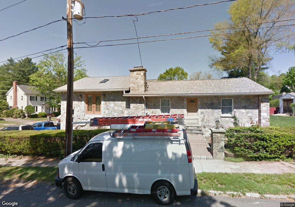
36 Sande Ave Naugatuck, CT 06770
Estimated Value: $275,000 - $358,000
3
Beds
1
Bath
1,764
Sq Ft
$188/Sq Ft
Est. Value
About This Home
This home is located at 36 Sande Ave, Naugatuck, CT 06770 and is currently estimated at $331,233, approximately $187 per square foot. 36 Sande Ave is a home located in New Haven County with nearby schools including City Hill Middle School, Naugatuck High School, and Our Lady Of Mount Carmel School.
Ownership History
Date
Name
Owned For
Owner Type
Purchase Details
Closed on
Aug 21, 1991
Sold by
Greco William
Bought by
Dacruz Silvestro and Dacruz Maria
Current Estimated Value
Create a Home Valuation Report for This Property
The Home Valuation Report is an in-depth analysis detailing your home's value as well as a comparison with similar homes in the area
Home Values in the Area
Average Home Value in this Area
Purchase History
| Date | Buyer | Sale Price | Title Company |
|---|---|---|---|
| Dacruz Silvestro | $83,000 | -- |
Source: Public Records
Mortgage History
| Date | Status | Borrower | Loan Amount |
|---|---|---|---|
| Open | Dacruz Silvestro | $83,000 | |
| Closed | Dacruz Silvestro | $73,000 | |
| Closed | Dacruz Silvestro | $50,000 | |
| Closed | Dacruz Silvestro | $55,000 |
Source: Public Records
Tax History
| Year | Tax Paid | Tax Assessment Tax Assessment Total Assessment is a certain percentage of the fair market value that is determined by local assessors to be the total taxable value of land and additions on the property. | Land | Improvement |
|---|---|---|---|---|
| 2025 | $8,022 | $201,600 | $28,840 | $172,760 |
| 2024 | $8,425 | $201,600 | $28,840 | $172,760 |
| 2023 | $9,022 | $201,600 | $28,840 | $172,760 |
| 2022 | $6,643 | $139,130 | $30,730 | $108,400 |
| 2021 | $6,643 | $139,130 | $30,730 | $108,400 |
| 2020 | $6,643 | $139,130 | $30,730 | $108,400 |
| 2019 | $6,574 | $139,130 | $30,730 | $108,400 |
| 2018 | $6,253 | $129,330 | $36,980 | $92,350 |
| 2017 | $6,279 | $129,330 | $36,980 | $92,350 |
| 2016 | $6,165 | $129,330 | $36,980 | $92,350 |
| 2015 | $5,876 | $128,940 | $36,980 | $91,960 |
| 2014 | $5,810 | $128,940 | $36,980 | $91,960 |
| 2012 | $5,440 | $162,160 | $46,690 | $115,470 |
Source: Public Records
Map
Nearby Homes
- 125 Thunderbird Dr
- 461 Spring St Unit 9G
- 461 Spring St Unit 9E
- 461 Spring St Unit 3
- 69 Nancy Ln
- 111 Mallane Ln Unit 14B
- 1385 Highland Ave Unit 13B
- 925 Oronoke Rd Unit 36C
- 925 Oronoke Rd Unit 11D
- 925 Oronoke Rd Unit 100I
- 55 Porter Ave Unit 6E
- 350 Bristol St Unit C1
- 855 Oronoke Rd Unit 2
- 14 Washington St
- 0 Field St Unit 170385250
- 29 Highview St
- 1159 Highland Ave Unit 34B
- 1159 Highland Ave Unit 15B
- 20 Alpine Ave
- 146 Coach Cir Unit 3
- 119 Radnor Ave
- 121 Radnor Ave
- 0 Sande Ave Unit W1060878
- 0 Sande Ave Unit 98492131
- 46 Sande Ave
- 101 Radnor Ave
- 99 Radnor Ave
- 10 Winthrop Ave
- 114 Radnor Ave
- 118 Radnor Ave
- 51 Sande Ave
- 55 Sande Ave
- 10 Winthrop Ave
- 124 Radnor Ave
- 22 Winthrop Ave
- 104 Radnor Ave
- 97 Radnor Ave
- 26 Winthrop Ave
- 32 Winthrop Ave
- 73 Sande Ave
Your Personal Tour Guide
Ask me questions while you tour the home.