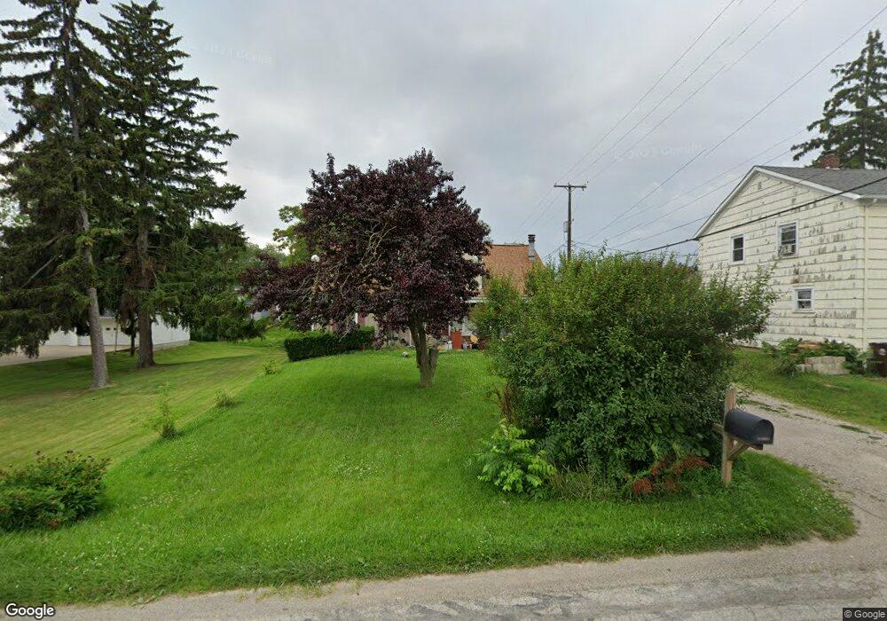
36 Squire St Defiance, OH 43512
Estimated Value: $163,000 - $207,000
4
Beds
2
Baths
1,990
Sq Ft
$89/Sq Ft
Est. Value
About This Home
This home is located at 36 Squire St, Defiance, OH 43512 and is currently estimated at $177,514, approximately $89 per square foot. 36 Squire St is a home located in Defiance County with nearby schools including Defiance Elementary School, Defiance Middle School, and Defiance High School.
Ownership History
Date
Name
Owned For
Owner Type
Purchase Details
Closed on
Sep 10, 2008
Sold by
Hsbc Bank Usa Na
Bought by
Hsbc Bank Usa Na and Ace Securities Corporation Home Equity L
Current Estimated Value
Purchase Details
Closed on
Feb 7, 2006
Sold by
Nadeau Robert J and Nadeau Nancy L
Bought by
Rodriguez Israel and Rodriguez Rebecca S
Home Financials for this Owner
Home Financials are based on the most recent Mortgage that was taken out on this home.
Original Mortgage
$73,200
Interest Rate
6.34%
Mortgage Type
New Conventional
Purchase Details
Closed on
Jan 1, 1992
Bought by
Paholak William W and Paholak Deborah J
Create a Home Valuation Report for This Property
The Home Valuation Report is an in-depth analysis detailing your home's value as well as a comparison with similar homes in the area
Home Values in the Area
Average Home Value in this Area
Purchase History
| Date | Buyer | Sale Price | Title Company |
|---|---|---|---|
| Hsbc Bank Usa Na | $37,250 | -- | |
| Rodriguez Israel | $68,625 | None Available | |
| Paholak William W | -- | -- |
Source: Public Records
Mortgage History
| Date | Status | Borrower | Loan Amount |
|---|---|---|---|
| Previous Owner | Rodriguez Israel | $73,200 |
Source: Public Records
Tax History
| Year | Tax Paid | Tax Assessment Tax Assessment Total Assessment is a certain percentage of the fair market value that is determined by local assessors to be the total taxable value of land and additions on the property. | Land | Improvement |
|---|---|---|---|---|
| 2025 | $1,481 | $49,000 | $3,210 | $45,790 |
| 2024 | $1,481 | $49,000 | $3,210 | $45,790 |
| 2023 | $1,472 | $49,000 | $3,210 | $45,790 |
| 2022 | $1,182 | $36,870 | $3,140 | $33,730 |
| 2021 | $1,182 | $36,870 | $3,140 | $33,730 |
| 2020 | $1,191 | $36,870 | $3,140 | $33,730 |
| 2019 | $1,032 | $32,580 | $3,150 | $29,430 |
| 2018 | $1,004 | $32,580 | $3,150 | $29,430 |
| 2017 | $990 | $32,578 | $3,150 | $29,428 |
| 2016 | $861 | $28,844 | $3,150 | $25,694 |
| 2015 | $414 | $28,844 | $3,150 | $25,694 |
| 2014 | $414 | $28,844 | $3,150 | $25,694 |
| 2013 | $414 | $28,844 | $3,150 | $25,694 |
| 2012 | $414 | $28,844 | $3,150 | $25,694 |
Source: Public Records
Map
Nearby Homes
- 512 Tiedeman Ave
- 709 Euclid St
- 412 Tacoma Ave
- 1744 Lora Ln
- 00 Carpenter Rd
- 840 Karnes Ave
- 429 Summit St
- 304 Hopkins St
- 1122 Ottawa Ave
- 862 Summit St
- 1275 Myrna St
- 1266 Myrna St
- 1284 Myrna St
- 905 Corwin St
- 605 Riverside Ave
- 230 Adams St
- 1398 Milwaukee Ave
- 305 W 1st St
- 207 Jefferson Ave
- 649 Burning Tree Dr
Your Personal Tour Guide
Ask me questions while you tour the home.