36 Trumbull Rd Waterford, CT 06385
Estimated Value: $475,298 - $578,000
About This Home
This home is located at 36 Trumbull Rd, Waterford, CT 06385 and is currently estimated at $540,575, approximately $275 per square foot. 36 Trumbull Rd is a home located in New London County with nearby schools including Clark Lane Middle School, Waterford High School, and St. Joseph School.
Ownership History
We collect this data history from publicly available records. To have your information removed, we recommend requesting removal directly through your county’s website.
Purchase Details
Home Financials for this Owner
Home Financials are based on the most recent Mortgage that was taken out on this home.Home Values in the Area
Average Home Value in this Area
Purchase History
We collect this data history from publicly available records. To have your information removed, we recommend requesting removal directly through your county’s website.
| Date | Buyer | Sale Price | Title Company |
|---|---|---|---|
| $300,000 | -- |
Mortgage History
We collect this data history from publicly available records. To have your information removed, we recommend requesting removal directly through your county’s website.
| Date | Status | Borrower | Loan Amount |
|---|---|---|---|
| Closed | $285,000 | ||
| Closed | $250,000 | ||
| Closed | $190,000 | ||
| Closed | $150,000 | ||
| Closed | $188,700 | ||
| Closed | $13,000 |
Tax History
We collect this data history from publicly available records. To have your information removed, we recommend requesting removal directly through your county’s website.
| Year | Tax Paid | Tax Assessment Tax Assessment Total Assessment is a certain percentage of the fair market value that is determined by local assessors to be the total taxable value of land and additions on the property. | Land | Improvement |
|---|---|---|---|---|
| 2025 | $5,849 | $250,390 | $92,640 | $157,750 |
| 2024 | $5,584 | $250,390 | $92,640 | $157,750 |
| 2023 | $5,308 | $250,390 | $92,640 | $157,750 |
| 2022 | $5,002 | $181,490 | $60,420 | $121,070 |
| 2021 | $5,016 | $181,490 | $60,420 | $121,070 |
| 2020 | $5,058 | $181,490 | $60,420 | $121,070 |
| 2019 | $5,078 | $181,490 | $60,420 | $121,070 |
| 2018 | $4,976 | $181,490 | $60,420 | $121,070 |
| 2017 | $4,716 | $174,490 | $60,420 | $114,070 |
| 2016 | $4,673 | $174,490 | $60,420 | $114,070 |
| 2015 | $4,507 | $174,490 | $60,420 | $114,070 |
| 2014 | $4,327 | $174,490 | $60,420 | $114,070 |
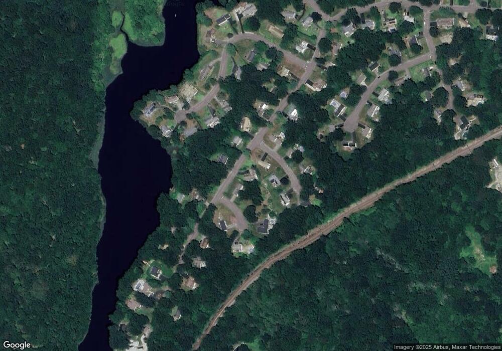
Map
- 126 Rope Ferry Rd
- 47 Colonial Dr
- 24 Colonial Dr
- 30 Ivy Hill Rd Unit 30
- 29 Ivy Hill Rd Unit 29
- 11 Ivy Hill Rd Unit 11
- 24 Jordan Terrace
- 12 Ivy Hill Rd Unit 12
- 34 Ivy Hill Rd
- 9 Hilltop Terrace
- 54 Rope Ferry Rd Unit I154
- 54 Rope Ferry Rd Unit H133
- 213 Boston Post Rd
- 13 Miner Ave
- 11 Savi Ave
- 25 Sandy Hollow Dr
- 91 Miner Ln
- 70 Vivian St
- 74 Vivian St
- 310 Boston Post Rd Unit 46
Ask me questions while you tour the home.