36 Winship Ave Wareham, MA 02571
Estimated Value: $1,692,000 - $2,040,000
3
Beds
4
Baths
2,044
Sq Ft
$891/Sq Ft
Est. Value
About This Home
This home is located at 36 Winship Ave, Wareham, MA 02571 and is currently estimated at $1,822,072, approximately $891 per square foot. 36 Winship Ave is a home located in Plymouth County.
Ownership History
Date
Name
Owned For
Owner Type
Purchase Details
Closed on
May 2, 2025
Sold by
Edwards Terry L
Bought by
Edward Warehamn Dynasty T and Foley
Current Estimated Value
Purchase Details
Closed on
Jun 1, 2017
Sold by
Mary T Sherpick Qprt T and Mary Kenyon
Bought by
Edwards Terry L and Edwards Katherine E
Purchase Details
Closed on
May 21, 1996
Sold by
Clark Eleanor W
Bought by
Sherpick Mary T
Create a Home Valuation Report for This Property
The Home Valuation Report is an in-depth analysis detailing your home's value as well as a comparison with similar homes in the area
Purchase History
| Date | Buyer | Sale Price | Title Company |
|---|---|---|---|
| Edward Warehamn Dynasty T | -- | None Available | |
| Edward Warehamn Dynasty T | -- | None Available | |
| Edwards Terry L | -- | None Available | |
| Edwards Terry L | -- | None Available | |
| Edwards Terry L | $1,200,000 | -- | |
| Edwards Terry L | $1,200,000 | -- | |
| Sherpick Mary T | $385,000 | -- | |
| Sherpick Mary T | $385,000 | -- |
Source: Public Records
Tax History
| Year | Tax Paid | Tax Assessment Tax Assessment Total Assessment is a certain percentage of the fair market value that is determined by local assessors to be the total taxable value of land and additions on the property. | Land | Improvement |
|---|---|---|---|---|
| 2025 | $17,972 | $1,724,800 | $1,184,400 | $540,400 |
| 2024 | $15,646 | $1,393,200 | $892,000 | $501,200 |
| 2023 | $15,373 | $1,270,300 | $812,400 | $457,900 |
| 2022 | $15,373 | $1,166,400 | $777,200 | $389,200 |
| 2021 | $15,517 | $1,153,700 | $777,200 | $376,500 |
| 2020 | $15,016 | $1,132,400 | $777,200 | $355,200 |
| 2019 | $17,705 | $1,332,200 | $1,009,000 | $323,200 |
| 2018 | $17,759 | $1,302,900 | $1,009,000 | $293,900 |
| 2017 | $17,242 | $1,281,900 | $1,009,000 | $272,900 |
| 2016 | $17,306 | $1,279,100 | $1,031,100 | $248,000 |
| 2015 | $17,748 | $1,357,900 | $1,110,100 | $247,800 |
| 2014 | $14,754 | $1,148,200 | $892,100 | $256,100 |
Source: Public Records
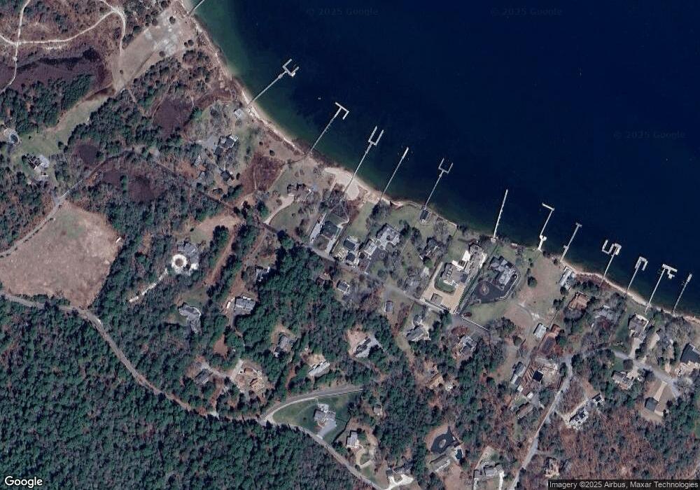
Map
Nearby Homes
- 200 Great Neck Rd
- 19 Maple St
- 22 Bay View Ave
- 14 Over Jordan Rd
- 8 Over Jordan Rd
- 10 East Blvd
- 10 East Blvd
- 12 Mason Street Extension
- 3 Carleton St Unit 3
- 29 Carleton St Unit 29
- 32 Carleton St Unit 32
- 20 Evergreen St
- 20 Evergreen St
- 10 Beacon St Unit 83
- 3 Short Neck Rd
- 11 10th St
- 35 Locust St
- 35 Locust St
- 36B Starboard Dr Unit 36E
- 36B Starboard Dr Unit 36G
- 34 Winship Ave
- 38 Winship Ave
- 35 Winship Ave
- 37 Winship Ave
- 42 Winship Ave
- 41 Winship Ave
- 18 Winship Ave
- 31 Winship Ave
- 28 Winship Ave
- 6 Boat House Dr
- 8 Boat House Dr
- 4 Checkerberry Ln
- 4 Boat House Dr
- 3 Checkerberry Ln
- 11 Boat House Dr
- 50 Winship Ave
- 50 Winship Ave Unit 1
- 30 Burgess Point Rd
- 9 Boat House Dr
- 5 Boat House Dr
Your Personal Tour Guide
Ask me questions while you tour the home.