360 Malcolm Smart Rd Leesville, LA 71446
Estimated Value: $124,141 - $179,000
2
Beds
1
Bath
1,200
Sq Ft
$130/Sq Ft
Est. Value
About This Home
This home is located at 360 Malcolm Smart Rd, Leesville, LA 71446 and is currently estimated at $156,035, approximately $130 per square foot. 360 Malcolm Smart Rd is a home located in Vernon Parish with nearby schools including Faith Training Christian Academy Elementary, Faith Training Christian Academy, and First Assembly Christian Academy.
Ownership History
Date
Name
Owned For
Owner Type
Purchase Details
Closed on
Mar 13, 2020
Sold by
Shelfo Anthony
Bought by
Gibbs Ian P and Gibbs Megan A
Current Estimated Value
Home Financials for this Owner
Home Financials are based on the most recent Mortgage that was taken out on this home.
Original Mortgage
$128,627
Outstanding Balance
$112,932
Interest Rate
3.5%
Mortgage Type
FHA
Estimated Equity
$43,103
Purchase Details
Closed on
Feb 22, 2010
Sold by
Moore Frank and Moore Sandra
Bought by
Shelfo Anthony
Purchase Details
Closed on
May 12, 2009
Sold by
Shelfo Anthony
Bought by
Moore Frank S and Moore Sandra F
Create a Home Valuation Report for This Property
The Home Valuation Report is an in-depth analysis detailing your home's value as well as a comparison with similar homes in the area
Purchase History
| Date | Buyer | Sale Price | Title Company |
|---|---|---|---|
| Gibbs Ian P | $131,000 | None Available | |
| Shelfo Anthony | $340 | -- | |
| Moore Frank S | $223 | -- |
Source: Public Records
Mortgage History
| Date | Status | Borrower | Loan Amount |
|---|---|---|---|
| Open | Gibbs Ian P | $128,627 |
Source: Public Records
Tax History
| Year | Tax Paid | Tax Assessment Tax Assessment Total Assessment is a certain percentage of the fair market value that is determined by local assessors to be the total taxable value of land and additions on the property. | Land | Improvement |
|---|---|---|---|---|
| 2025 | $564 | $4,950 | $960 | $3,990 |
| 2024 | $569 | $4,950 | $960 | $3,990 |
| 2023 | $529 | $4,620 | $620 | $4,000 |
| 2022 | $521 | $4,620 | $620 | $4,000 |
| 2021 | $555 | $4,620 | $620 | $4,000 |
| 2020 | $574 | $4,620 | $620 | $4,000 |
| 2019 | $88 | $680 | $620 | $60 |
| 2018 | $88 | $680 | $620 | $60 |
| 2017 | $91 | $700 | $640 | $60 |
| 2015 | $87 | $690 | $630 | $60 |
| 2014 | $90 | $690 | $630 | $60 |
| 2013 | $92 | $690 | $630 | $60 |
Source: Public Records
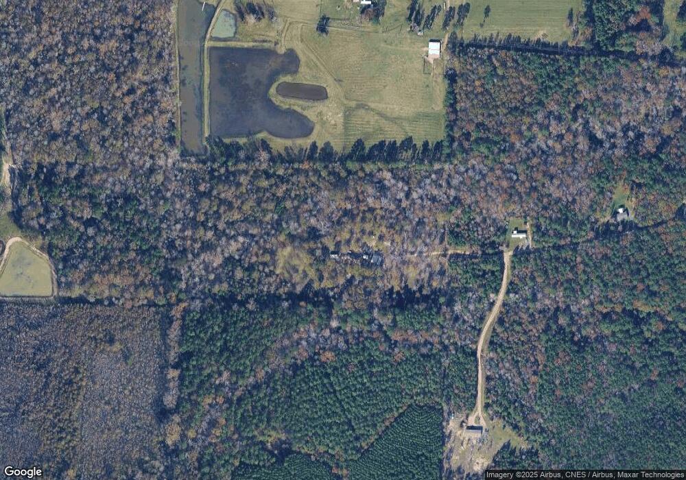
Map
Nearby Homes
- 0 Malcolm Smart Rd
- 137 Robinson Kitts Rd
- 0 Tbd University Pkwy Unit 57-118
- 203 S 1st St
- 0 Tbd W Singleton Lot 3
- 116 E Harriet St
- 304 N 1st St
- 0 S 8th St
- 0 Fertitta Blvd
- 0 Tbd S 8th
- 107 E North St
- 0 Mcfarland St
- 1004 S 9th St
- 0 9th St S
- 1003 S 10th St
- 1006 S 10th St
- 300 S 8th St
- 0 Tbd Smart Add
- 506 Mcfarland St
- 1409 S 11th St
- 348 Malcolm Smart Rd
- 350 Malcolm Smart Rd
- 400 Slagle Rd
- 400 Slagle Rd
- 347 Malcolm Smart Rd
- 142 J And j Ln
- 234 Hanna Rd
- 508 Slagle Rd
- 534 Slagle Rd
- 270 Hanna Rd
- 280 Hanna Rd
- 296 Hanna Rd
- 650 Smart St
- 632 Slagle Rd
- 455 Slagle Rd
- 332 Hanna Rd
- 465 Slagle Rd
- 100 Hanna Rd
- 334 Hanna Rd
- 135 Robinson Kitts Rd
Your Personal Tour Guide
Ask me questions while you tour the home.