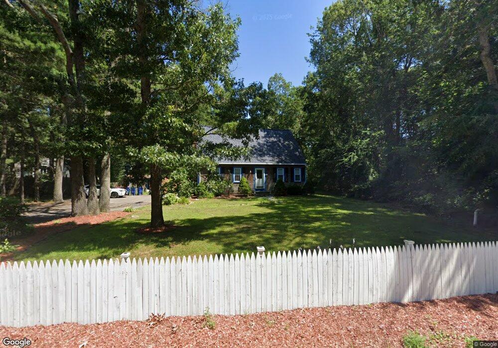
360 Marion Rd Wareham, MA 02571
Weweantic NeighborhoodEstimated Value: $440,000 - $479,000
3
Beds
1
Bath
1,404
Sq Ft
$326/Sq Ft
Est. Value
About This Home
This home is located at 360 Marion Rd, Wareham, MA 02571 and is currently estimated at $457,320, approximately $325 per square foot. 360 Marion Rd is a home located in Plymouth County with nearby schools including Tabor Academy.
Ownership History
Date
Name
Owned For
Owner Type
Purchase Details
Closed on
Apr 17, 2007
Sold by
Wehr Alan D
Bought by
Pratt Barry F and Pratt Lisa A
Current Estimated Value
Home Financials for this Owner
Home Financials are based on the most recent Mortgage that was taken out on this home.
Original Mortgage
$261,684
Outstanding Balance
$159,003
Interest Rate
6.24%
Mortgage Type
Purchase Money Mortgage
Estimated Equity
$298,317
Create a Home Valuation Report for This Property
The Home Valuation Report is an in-depth analysis detailing your home's value as well as a comparison with similar homes in the area
Home Values in the Area
Average Home Value in this Area
Purchase History
| Date | Buyer | Sale Price | Title Company |
|---|---|---|---|
| Pratt Barry F | $265,000 | -- | |
| Pratt Barry F | $265,000 | -- |
Source: Public Records
Mortgage History
| Date | Status | Borrower | Loan Amount |
|---|---|---|---|
| Open | Pratt Barry F | $261,684 | |
| Closed | Pratt Barry F | $261,684 |
Source: Public Records
Tax History
| Year | Tax Paid | Tax Assessment Tax Assessment Total Assessment is a certain percentage of the fair market value that is determined by local assessors to be the total taxable value of land and additions on the property. | Land | Improvement |
|---|---|---|---|---|
| 2025 | $3,672 | $352,400 | $99,800 | $252,600 |
| 2024 | $3,854 | $343,200 | $78,200 | $265,000 |
| 2023 | $3,356 | $304,100 | $71,100 | $233,000 |
| 2022 | $3,356 | $254,600 | $71,100 | $183,500 |
| 2021 | $3,306 | $245,800 | $71,100 | $174,700 |
| 2020 | $3,144 | $237,100 | $71,100 | $166,000 |
| 2019 | $3,087 | $232,300 | $69,500 | $162,800 |
| 2018 | $2,835 | $208,000 | $69,500 | $138,500 |
| 2017 | $2,718 | $202,100 | $69,500 | $132,600 |
| 2016 | $2,598 | $192,000 | $68,300 | $123,700 |
| 2015 | $2,509 | $192,000 | $68,300 | $123,700 |
| 2014 | $2,426 | $188,800 | $64,900 | $123,900 |
Source: Public Records
Map
Nearby Homes
- 9 Woodville Way
- 14 Briarwood Dr
- 12 Taft St
- 21 Bisbee St
- 15 14th Ave
- 233 Marion Rd
- 3 Cranberry Grove Way Unit C
- 0 Cromesett Rd (Off) Unit 73385395
- 4 Mather Dr
- 21 Bayview St
- 6 Wildwood Ave
- 10 Barnes St
- 6 Pine St
- 20 Grant St
- 6 Bourne Terrace
- 43 Shore Ave
- 15 Broadmarsh Ave
- 6 Allen Ave
- 929 Point Rd
- 106 Circuit Ave
Your Personal Tour Guide
Ask me questions while you tour the home.