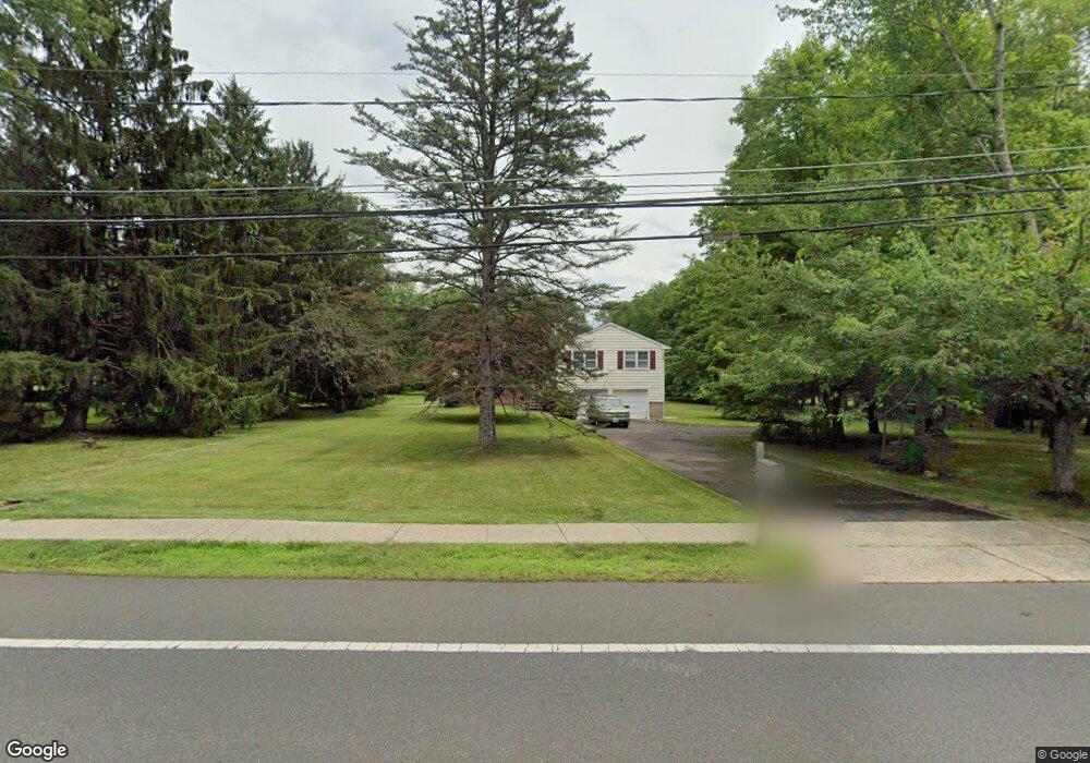
360 S Maple Ave Basking Ridge, NJ 07920
Estimated Value: $736,459 - $824,000
Studio
--
Bath
1,827
Sq Ft
$423/Sq Ft
Est. Value
About This Home
This home is located at 360 S Maple Ave, Basking Ridge, NJ 07920 and is currently estimated at $772,865, approximately $423 per square foot. 360 S Maple Ave is a home located in Somerset County with nearby schools including Cedar Hill Elementary School, Oak Street Elementary School, and William Annin Middle School.
Ownership History
Date
Name
Owned For
Owner Type
Purchase Details
Closed on
Oct 29, 1997
Sold by
Kaouris George
Bought by
Lapusheski Charles and Lapusheski Geraldine
Current Estimated Value
Home Financials for this Owner
Home Financials are based on the most recent Mortgage that was taken out on this home.
Original Mortgage
$248,000
Outstanding Balance
$40,809
Interest Rate
7.31%
Estimated Equity
$732,056
Purchase Details
Closed on
Apr 15, 1996
Sold by
Puzzella Gloria
Bought by
Kaouris George and Kaouris Vasilia
Home Financials for this Owner
Home Financials are based on the most recent Mortgage that was taken out on this home.
Original Mortgage
$190,000
Interest Rate
7.34%
Create a Home Valuation Report for This Property
The Home Valuation Report is an in-depth analysis detailing your home's value as well as a comparison with similar homes in the area
Home Values in the Area
Average Home Value in this Area
Purchase History
| Date | Buyer | Sale Price | Title Company |
|---|---|---|---|
| Lapusheski Charles | $275,000 | -- | |
| Kaouris George | $245,000 | -- |
Source: Public Records
Mortgage History
| Date | Status | Borrower | Loan Amount |
|---|---|---|---|
| Open | Lapusheski Charles | $248,000 | |
| Previous Owner | Kaouris George | $190,000 |
Source: Public Records
Tax History
| Year | Tax Paid | Tax Assessment Tax Assessment Total Assessment is a certain percentage of the fair market value that is determined by local assessors to be the total taxable value of land and additions on the property. | Land | Improvement |
|---|---|---|---|---|
| 2025 | $10,565 | $633,800 | $349,200 | $284,600 |
| 2024 | $10,565 | $593,900 | $326,700 | $267,200 |
| 2023 | $10,596 | $561,800 | $326,700 | $235,100 |
| 2022 | $10,411 | $517,700 | $326,700 | $191,000 |
| 2021 | $9,802 | $476,400 | $326,700 | $149,700 |
| 2020 | $10,070 | $480,900 | $333,000 | $147,900 |
| 2019 | $9,958 | $489,600 | $339,300 | $150,300 |
| 2018 | $9,636 | $480,600 | $330,300 | $150,300 |
| 2017 | $9,438 | $474,500 | $330,300 | $144,200 |
| 2016 | $10,057 | $515,500 | $330,300 | $185,200 |
| 2015 | $9,585 | $513,300 | $325,800 | $187,500 |
| 2014 | $9,482 | $503,200 | $325,800 | $177,400 |
Source: Public Records
Map
Nearby Homes
- 4 Owen Ct
- 110 Village Dr
- 47 Dexter Dr N
- 14 Bradford Ln
- 80 Shawnee Path
- 36 Debra Ln
- 256 Old Forge Rd
- 33 Juniper Way
- 168 Bungalow Terrace
- 18 Juniper Way
- 134 Spencer Rd
- 128 Old Forge Rd
- 160 S Finley Ave
- 40 Rankin Ave
- 81 Atlas Rd
- 135 Woods End Dr
- 24 Wharton Way
- 7 Valley View Dr
- 17 Cooper Ln Unit 8
- 9 Cooper Ln
Your Personal Tour Guide
Ask me questions while you tour the home.