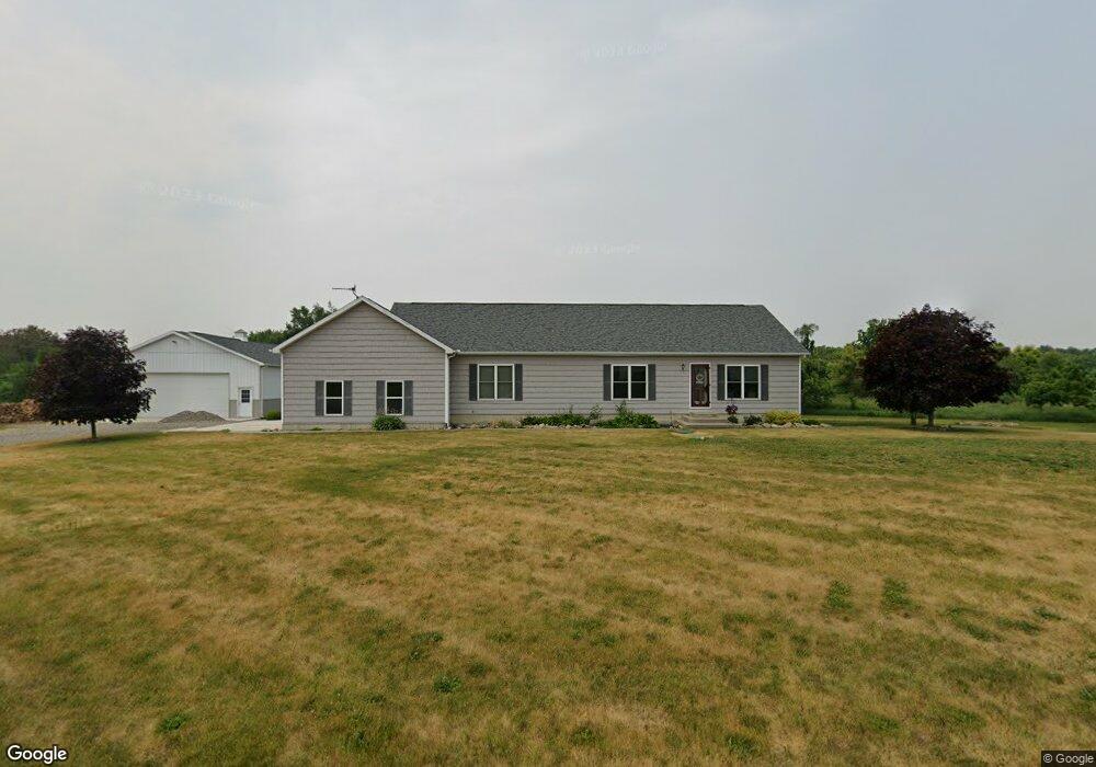
360 S Parham Rd Bronson, MI 49028
Estimated Value: $299,000 - $427,000
Studio
--
Bath
1,792
Sq Ft
$199/Sq Ft
Est. Value
About This Home
This home is located at 360 S Parham Rd, Bronson, MI 49028 and is currently estimated at $357,486, approximately $199 per square foot. 360 S Parham Rd is a home located in Branch County with nearby schools including Anderson Elementary School, Ryan Elementary School, and Bronson Junior/Senior High School.
Ownership History
Date
Name
Owned For
Owner Type
Purchase Details
Closed on
Sep 8, 2003
Sold by
Losinski Janet
Bought by
Rifenburg Heath Allen
Current Estimated Value
Purchase Details
Closed on
Mar 14, 2002
Sold by
Losinski Janet
Bought by
Rifenburg Heath Allen
Purchase Details
Closed on
Mar 13, 2002
Sold by
Rifenburgh Joshua
Bought by
Losinski Janet
Purchase Details
Closed on
May 20, 2001
Sold by
Losinski Janet E
Bought by
Rifenburgh Joshua
Create a Home Valuation Report for This Property
The Home Valuation Report is an in-depth analysis detailing your home's value as well as a comparison with similar homes in the area
Purchase History
We collect this data history from publicly available records. To have your information removed, we recommend requesting removal directly through your county’s website.
| Date | Buyer | Sale Price | Title Company |
|---|---|---|---|
| Rifenburg Heath Allen | $20,000 | -- | |
| Rifenburg Heath Allen | $20,000 | -- | |
| Losinski Janet | $100 | -- | |
| Rifenburgh Joshua | $6,000 | -- |
Source: Public Records
Tax History
| Year | Tax Paid | Tax Assessment Tax Assessment Total Assessment is a certain percentage of the fair market value that is determined by local assessors to be the total taxable value of land and additions on the property. | Land | Improvement |
|---|---|---|---|---|
| 2025 | $2,616 | $166,756 | $0 | $0 |
| 2024 | $9 | $162,138 | $0 | $0 |
| 2023 | $939 | $131,086 | $0 | $0 |
| 2022 | $939 | $115,881 | $0 | $0 |
| 2020 | -- | $102,074 | $0 | $0 |
| 2019 | -- | $79,062 | $0 | $0 |
| 2018 | -- | $79,420 | $0 | $0 |
| 2017 | -- | $77,684 | $0 | $0 |
| 2016 | -- | $73,055 | $0 | $0 |
| 2015 | -- | $68,581 | $0 | $0 |
| 2014 | -- | $66,041 | $0 | $0 |
| 2013 | -- | $62,866 | $0 | $0 |
Source: Public Records
Map
Nearby Homes
- 351 Roosevelt St
- 644 S Matteson St
- 214 E Chicago St
- 155 Winona St
- 609 E Railroad St
- 509 N Walker St
- 322 Shaffmaster Blvd
- 879 W Chicago Rd
- 0 Bawden Rd
- 368 Cranson Rd
- 1015 Brink Rd
- 140 S Snow Prairie Rd
- 141 S Snow Prairie Rd
- 130 Osborn Rd
- 0 Rierson Rd
- 719 Gilead Shores Dr
- 265 W Pearl Rd
- 816 S Werners Landing Dr
- 912 W Shore Rd
- 828 N Werners Landing Dr
- 366 S Parham Rd
- 365 S Parham Rd
- 346 S Parham Rd
- 688 Schmidt Rd
- 376 S Parham Rd
- 340 S Parham Rd
- 354 Eagle Ln
- 354 Eagle Ln
- 367 Eagle Ln
- 367 Eagle Ln
- 355 Eagle Ln
- 669 Schmidt Rd
- 388 S Parham Rd
- 325 S Parham Rd
- 319 S Parham Rd
- 361 Cemetery Rd
- 311 S Parham Rd
- 311 S Parham Rd
- 310 S Parham Rd
- 337 Cemetery Rd
Your Personal Tour Guide
Ask me questions while you tour the home.