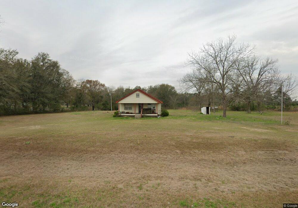
361 Enterprise Rd Colquitt, GA 39837
Estimated Value: $93,459 - $172,000
3
Beds
2
Baths
1,148
Sq Ft
$113/Sq Ft
Est. Value
About This Home
This home is located at 361 Enterprise Rd, Colquitt, GA 39837 and is currently estimated at $129,615, approximately $112 per square foot. 361 Enterprise Rd is a home with nearby schools including Miller County Elementary School, Miller County Middle School, and Miller County High School.
Ownership History
Date
Name
Owned For
Owner Type
Purchase Details
Closed on
Oct 28, 2010
Sold by
Bright Oak Farm Llc
Bought by
Bright-Williams Farms Llc
Current Estimated Value
Purchase Details
Closed on
Aug 5, 2009
Sold by
Williams Lillian C
Bought by
Bright Oak Farm Llc
Purchase Details
Closed on
Aug 4, 2009
Sold by
Bright Patricia/Buford Williams Trust
Bought by
Bright Oak Farm Llc
Purchase Details
Closed on
Oct 13, 2006
Sold by
Williams Buford Buren Trust
Bought by
Bright Patricia W Trustee
Purchase Details
Closed on
Dec 31, 1957
Bought by
Williams Buford Buren
Create a Home Valuation Report for This Property
The Home Valuation Report is an in-depth analysis detailing your home's value as well as a comparison with similar homes in the area
Purchase History
| Date | Buyer | Sale Price | Title Company |
|---|---|---|---|
| Bright-Williams Farms Llc | -- | -- | |
| Bright Oak Farm Llc | -- | -- | |
| Bright Oak Farm Llc | -- | -- | |
| Bright Patricia W Trustee | -- | -- | |
| Williams Buford Buren | -- | -- |
Source: Public Records
Tax History
| Year | Tax Paid | Tax Assessment Tax Assessment Total Assessment is a certain percentage of the fair market value that is determined by local assessors to be the total taxable value of land and additions on the property. | Land | Improvement |
|---|---|---|---|---|
| 2025 | $846 | $25,532 | $1,608 | $23,924 |
| 2024 | $858 | $25,532 | $1,608 | $23,924 |
| 2023 | $705 | $19,785 | $1,608 | $18,177 |
| 2022 | $805 | $21,050 | $1,608 | $19,442 |
| 2021 | $797 | $21,050 | $1,608 | $19,442 |
| 2020 | $797 | $21,050 | $1,608 | $19,442 |
| 2019 | $799 | $21,050 | $1,608 | $19,442 |
| 2018 | $776 | $21,050 | $1,608 | $19,442 |
| 2017 | $776 | $21,050 | $1,608 | $19,442 |
| 2016 | $776 | $21,050 | $1,608 | $19,442 |
| 2015 | -- | $22,935 | $3,900 | $19,035 |
| 2014 | -- | $22,935 | $3,900 | $19,035 |
| 2013 | -- | $22,935 | $3,900 | $19,035 |
Source: Public Records
Map
Nearby Homes
- 1645 Georgia 91
- 994 Hornsby Rd
- 601 Ingram St
- 308 E Carr St
- 641 Mayhaw Rd
- 409 Daniel St
- 307 N Knox Ave
- 302 N Wiley Ave
- 210 W Crawford St
- 505 S Stern Ave
- 2395 Seminole
- 000 Hagen Still Rd
- 000 Hagen Still Rd
- 508 S Tennille Ave
- 202 W 4th St
- 307 S Morris Ave
- 507 S Friendship Ave
- 714 Faubus Dr
- 403 W 4th St
- 409 S Newcombe Ave
- 351 Enterprise Rd
- 57 Daniels Rd
- 333 Enterprise Rd
- 327 Enterprise Rd
- 315 Enterprise Rd
- 297 Enterprise Rd
- 81 Daniels Rd
- 276 Nobles Rd
- 109 Daniels Rd
- 237 Enterprise Rd
- 390 Lane Rd
- 138 Daniels Rd
- 240 Arline Rd
- 240 Nobles Rd
- 246 Arline Rd
- 208 Arline Rd
- 157 Daniels Rd
- 143 Nobles Rd
- 319 Lane Rd
- 174 Nobles Rd
Your Personal Tour Guide
Ask me questions while you tour the home.